1610 Silver Globe Rd Marietta, OH 45750
Estimated Value: $156,000 - $195,000
3
Beds
1
Bath
1,292
Sq Ft
$139/Sq Ft
Est. Value
About This Home
This home is located at 1610 Silver Globe Rd, Marietta, OH 45750 and is currently estimated at $179,795, approximately $139 per square foot. 1610 Silver Globe Rd is a home with nearby schools including Warren High School.
Ownership History
Date
Name
Owned For
Owner Type
Purchase Details
Closed on
Sep 9, 2025
Sold by
Snider Raymond D and Snider Kathy L
Bought by
Snider Raymond D and Snider Kathy L
Current Estimated Value
Purchase Details
Closed on
Sep 18, 1995
Bought by
Snider Raymond D and Snider Kathy
Purchase Details
Closed on
May 18, 1988
Create a Home Valuation Report for This Property
The Home Valuation Report is an in-depth analysis detailing your home's value as well as a comparison with similar homes in the area
Purchase History
We collect this data history from publicly available records. To have your information removed, we recommend requesting removal directly through your county’s website.
| Date | Buyer | Sale Price | Title Company |
|---|---|---|---|
| Snider Raymond D | -- | None Listed On Document | |
| Snider Raymond D | $75,000 | -- | |
| Snider Raymond D | $75,000 | -- | |
| -- | -- | -- | |
| -- | -- | -- |
Source: Public Records
Tax History
| Year | Tax Paid | Tax Assessment Tax Assessment Total Assessment is a certain percentage of the fair market value that is determined by local assessors to be the total taxable value of land and additions on the property. | Land | Improvement |
|---|---|---|---|---|
| 2024 | $1,721 | $46,690 | $5,960 | $40,730 |
| 2023 | $1,766 | $46,690 | $5,960 | $40,730 |
| 2022 | $1,762 | $46,690 | $5,960 | $40,730 |
| 2021 | $1,476 | $37,350 | $4,750 | $32,600 |
| 2020 | $1,469 | $37,350 | $4,750 | $32,600 |
| 2019 | $1,448 | $37,350 | $4,750 | $32,600 |
| 2018 | $1,350 | $33,770 | $4,130 | $29,640 |
| 2017 | $1,342 | $33,770 | $4,130 | $29,640 |
| 2016 | $1,719 | $33,770 | $4,130 | $29,640 |
| 2015 | $1,062 | $29,720 | $4,190 | $25,530 |
| 2014 | $1,530 | $29,720 | $4,190 | $25,530 |
| 2013 | $1,010 | $29,720 | $4,190 | $25,530 |
Source: Public Records
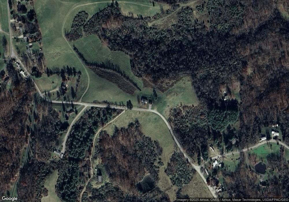
Map
Nearby Homes
- 400 Bethel Rd
- 20 Silver Globe Rd
- 20043 State Route 550
- 760 Lang Farm Rd
- 107 Nelson Ave
- 3035 Indian Run Rd
- 185 Belavista Dr
- 115 Leland Ave
- 109 Clare Kennedy Dr
- 130 Alta St
- 1266 Warren Chapel Rd
- 165 Wynnwood Dr
- 330 Wynncrest Dr
- 143 Riverview Dr
- 977 Gilman Ave
- 146 Riverview Dr
- 16770 State Route 550
- 106 Oakview Dr
- 101 High St
- 720 Front St
- 1870 Michaelis Rd
- 1745 Silver Globe Rd
- 1800 Silver Globe Rd Unit GLOBE
- 1800 Silver Globe Rd
- 1735 Silver Globe Rd
- 1770 Michaelis Rd
- 1759 Michaelis Rd
- 1910 Silver Globe Rd
- 1920 Silver Globe Rd
- 1960 Silver Globe Rd
- 1250 Bethel Rd
- 1620 Michaelis Rd
- 1980 Silver Globe Rd
- 1230 Bethel Rd
- 1990 Silver Globe Rd Unit GLOBE
- 1990 Silver Globe Rd
- 1150 Bethel Rd
- 2040 Silver Globe Rd
- 1523 Michaelis Rd
- Lot 4 Silver Globe Rd
Your Personal Tour Guide
Ask me questions while you tour the home.