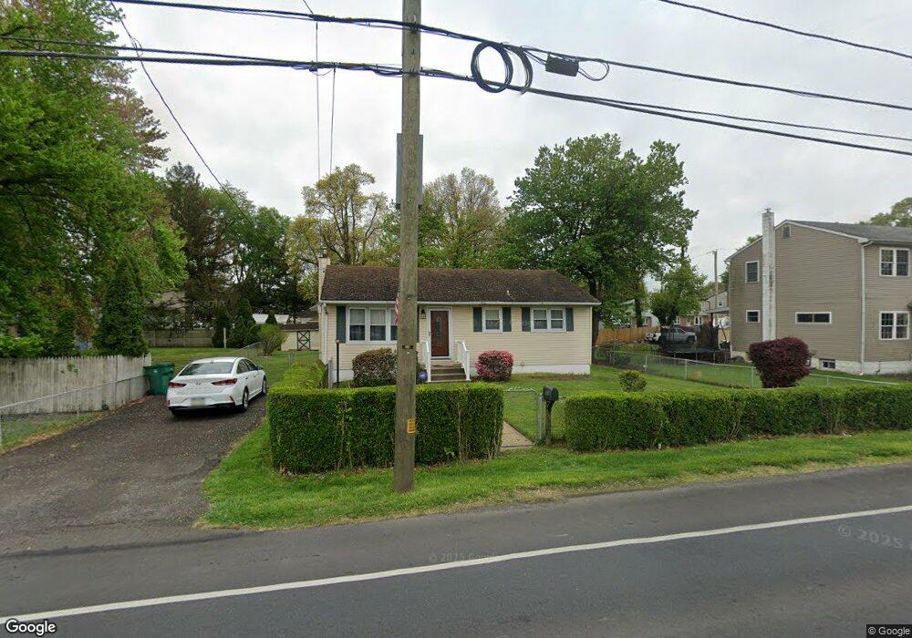
1610 State Rd Croydon, PA 19021
Estimated Value: $280,000 - $313,000
2
Beds
1
Bath
864
Sq Ft
$347/Sq Ft
Est. Value
About This Home
This home is located at 1610 State Rd, Croydon, PA 19021 and is currently estimated at $299,392, approximately $346 per square foot. 1610 State Rd is a home located in Bucks County with nearby schools including Truman Senior High School, Doane Academy, and St. Mark Elementary School.
Ownership History
Date
Name
Owned For
Owner Type
Purchase Details
Closed on
Mar 28, 2003
Sold by
Copson Robert J and Copson Darlene R
Bought by
Creely Robert N
Current Estimated Value
Home Financials for this Owner
Home Financials are based on the most recent Mortgage that was taken out on this home.
Original Mortgage
$133,941
Outstanding Balance
$57,540
Interest Rate
5.75%
Mortgage Type
FHA
Estimated Equity
$241,852
Purchase Details
Closed on
Apr 10, 1989
Bought by
Copson Robert J Jr
Create a Home Valuation Report for This Property
The Home Valuation Report is an in-depth analysis detailing your home's value as well as a comparison with similar homes in the area
Home Values in the Area
Average Home Value in this Area
Purchase History
| Date | Buyer | Sale Price | Title Company |
|---|---|---|---|
| Creely Robert N | $135,000 | -- | |
| Copson Robert J Jr | $80,000 | -- |
Source: Public Records
Mortgage History
| Date | Status | Borrower | Loan Amount |
|---|---|---|---|
| Open | Creely Robert N | $133,941 |
Source: Public Records
Tax History
| Year | Tax Paid | Tax Assessment Tax Assessment Total Assessment is a certain percentage of the fair market value that is determined by local assessors to be the total taxable value of land and additions on the property. | Land | Improvement |
|---|---|---|---|---|
| 2025 | $3,911 | $14,400 | $2,840 | $11,560 |
| 2024 | $3,911 | $14,400 | $2,840 | $11,560 |
| 2023 | $3,882 | $14,400 | $2,840 | $11,560 |
| 2022 | $3,882 | $14,400 | $2,840 | $11,560 |
| 2021 | $3,882 | $14,400 | $2,840 | $11,560 |
| 2020 | $3,882 | $14,400 | $2,840 | $11,560 |
| 2019 | $3,867 | $14,400 | $2,840 | $11,560 |
| 2018 | $3,805 | $14,400 | $2,840 | $11,560 |
| 2017 | $3,747 | $14,400 | $2,840 | $11,560 |
| 2016 | $3,747 | $14,400 | $2,840 | $11,560 |
| 2015 | $2,632 | $14,400 | $2,840 | $11,560 |
| 2014 | $2,632 | $14,400 | $2,840 | $11,560 |
Source: Public Records
Map
Nearby Homes
- 730 Excelsior Ave
- 806 Logan Ave
- 805 State Rd
- 618 Cedar Ave
- 2113 Pennsylvania Ave
- 910 Magnolia Ave
- 1103 Nancy Dr
- 1306 Spencer Dr
- 909 Third Ave
- 1706 Spencer Dr
- 530 Main Ave
- 535 Princess Ave
- 709 Shadyside Ave
- 601 Fourth Ave
- 813 Fifth Ave
- 901 Spencer Dr
- 0 Newportville Rd Unit PABU2115306
- 208 Neshaminy Rd
- 3 McLevins Ct
- 10 McLevins Ct
Your Personal Tour Guide
Ask me questions while you tour the home.