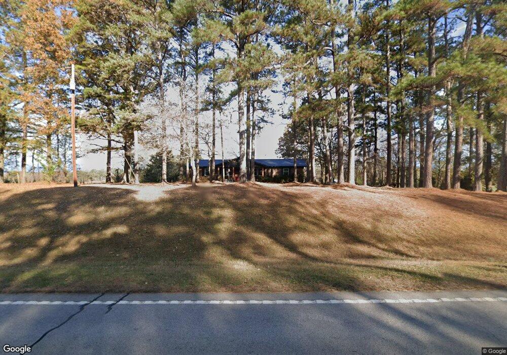
1610 Washington Hwy Union Point, GA 30669
Estimated Value: $164,000 - $279,000
--
Bed
2
Baths
1,848
Sq Ft
$120/Sq Ft
Est. Value
About This Home
This home is located at 1610 Washington Hwy, Union Point, GA 30669 and is currently estimated at $222,418, approximately $120 per square foot. 1610 Washington Hwy is a home located in Greene County with nearby schools including Greene County High School.
Ownership History
Date
Name
Owned For
Owner Type
Purchase Details
Closed on
May 11, 2023
Sold by
Shuman Lisa S
Bought by
Shuman Steven M and Shuman Scott T
Current Estimated Value
Purchase Details
Closed on
Nov 7, 2005
Sold by
Sorrow Lynn
Bought by
Sorrow Sally W
Purchase Details
Closed on
Dec 30, 1996
Sold by
Sorrow Sally W
Bought by
Sorrow Lynn Etal
Purchase Details
Closed on
Jan 1, 1979
Sold by
Sorrow Harvey E
Bought by
Sorrow Sally W
Purchase Details
Closed on
Jan 1, 1966
Bought by
Sorrow Harvey E
Create a Home Valuation Report for This Property
The Home Valuation Report is an in-depth analysis detailing your home's value as well as a comparison with similar homes in the area
Home Values in the Area
Average Home Value in this Area
Purchase History
| Date | Buyer | Sale Price | Title Company |
|---|---|---|---|
| Shuman Steven M | -- | -- | |
| Shuman Lisa S | -- | -- | |
| Sorrow Sally W | -- | -- | |
| Sorrow Lynn Etal | -- | -- | |
| Sorrow Sally W | -- | -- | |
| Sorrow Harvey E | -- | -- |
Source: Public Records
Tax History Compared to Growth
Tax History
| Year | Tax Paid | Tax Assessment Tax Assessment Total Assessment is a certain percentage of the fair market value that is determined by local assessors to be the total taxable value of land and additions on the property. | Land | Improvement |
|---|---|---|---|---|
| 2025 | $1,272 | $89,200 | $4,280 | $84,920 |
| 2024 | $1,379 | $81,960 | $4,280 | $77,680 |
| 2023 | $247 | $76,440 | $3,560 | $72,880 |
| 2022 | $345 | $53,480 | $2,720 | $50,760 |
| 2021 | $350 | $47,280 | $2,720 | $44,560 |
| 2020 | $208 | $17,840 | $1,840 | $16,000 |
| 2019 | $208 | $17,840 | $1,840 | $16,000 |
| 2018 | $185 | $17,840 | $1,840 | $16,000 |
| 2017 | $185 | $17,878 | $1,843 | $16,035 |
| 2016 | $339 | $25,492 | $1,843 | $23,649 |
| 2015 | $313 | $25,491 | $1,843 | $23,649 |
| 2014 | $326 | $25,853 | $1,843 | $24,010 |
Source: Public Records
Map
Nearby Homes
- 1860 Washington Hwy
- 0 Woodland Ct Unit 10543600
- 324 N Rhodes St
- 215 Hunter St
- 202 Veazey St
- 112 Hendry St
- 0 Washington Hwy Unit 7276060
- 0 S Rhodes St Unit 10618488
- 1041 Hillcrest Dr
- 1241 Old Siloam Rd
- 5401 Union Point Hwy
- 1201 Buffalo Lick Rd
- 0 Buffalo Lick Rd Unit 10551234
- 0 Buffalo Lick Rd Unit 10551325
- 1581 Highway 77 S Hwy
- 1581 Highway 77 S
- 1251 Adams Rd
- 0 Old Union Point Rd Unit 1 10557753
- 1251 Brick House Rd
- 1251 Brickhouse Rd
- 2891 Temperence Bell Rd
- 2960 Temperance Bell Rd
- 1531 Washington Hwy
- 1491 Washington Hwy
- 2980 Temperence Bell Rd
- 2781 Temperence Bell Rd
- 2781 Temperance Bell Rd
- 2840 Temperance Bell Rd
- 2783 Temperance Bell Rd
- 2771 Temperence Bell Rd
- 1630 N Rhodes St
- 1020 Wesley Ln
- 1010 Wesley Ln
- 1771 Washington Hwy
- 1030 Wesley Ln
- 1040 Wesley Ln
- 2751 Temperence Bell Rd
- 1690 N Rhodes St
- 1690 N Rhodes St
- 1041 Wesley Rd