1611 Avery Dr Locust Grove, GA 30248
Estimated Value: $419,000 - $514,000
4
Beds
3
Baths
2,759
Sq Ft
$164/Sq Ft
Est. Value
About This Home
This home is located at 1611 Avery Dr, Locust Grove, GA 30248 and is currently estimated at $452,312, approximately $163 per square foot. 1611 Avery Dr is a home located in Henry County with nearby schools including Bethlehem Elementary School, Luella Middle School, and Luella High School.
Ownership History
Date
Name
Owned For
Owner Type
Purchase Details
Closed on
Dec 23, 2003
Sold by
John Christian Homes Inc
Bought by
Palmer John and Palmer Bobbi
Current Estimated Value
Home Financials for this Owner
Home Financials are based on the most recent Mortgage that was taken out on this home.
Original Mortgage
$207,000
Outstanding Balance
$77,262
Interest Rate
3.12%
Mortgage Type
New Conventional
Estimated Equity
$375,050
Purchase Details
Closed on
Jul 31, 2003
Sold by
Eagles Brooke Prop Inc
Bought by
John Christian Homes Inc
Create a Home Valuation Report for This Property
The Home Valuation Report is an in-depth analysis detailing your home's value as well as a comparison with similar homes in the area
Home Values in the Area
Average Home Value in this Area
Purchase History
| Date | Buyer | Sale Price | Title Company |
|---|---|---|---|
| Palmer John | $230,000 | -- | |
| John Christian Homes Inc | $111,700 | -- |
Source: Public Records
Mortgage History
| Date | Status | Borrower | Loan Amount |
|---|---|---|---|
| Open | Palmer John | $207,000 |
Source: Public Records
Tax History Compared to Growth
Tax History
| Year | Tax Paid | Tax Assessment Tax Assessment Total Assessment is a certain percentage of the fair market value that is determined by local assessors to be the total taxable value of land and additions on the property. | Land | Improvement |
|---|---|---|---|---|
| 2025 | $5,381 | $169,800 | $24,000 | $145,800 |
| 2024 | $5,381 | $156,560 | $24,000 | $132,560 |
| 2023 | $4,668 | $159,800 | $24,000 | $135,800 |
| 2022 | $4,768 | $142,680 | $20,000 | $122,680 |
| 2021 | $4,301 | $122,920 | $20,000 | $102,920 |
| 2020 | $4,081 | $113,600 | $16,000 | $97,600 |
| 2019 | $3,964 | $108,760 | $16,000 | $92,760 |
| 2018 | $3,805 | $104,600 | $16,000 | $88,600 |
| 2016 | $3,412 | $94,360 | $18,000 | $76,360 |
| 2015 | $3,304 | $89,240 | $14,000 | $75,240 |
| 2014 | -- | $80,200 | $14,000 | $66,200 |
Source: Public Records
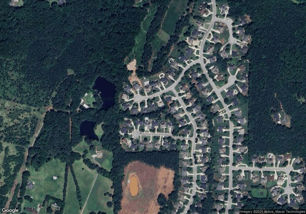
Map
Nearby Homes
- 1615 Avery Dr
- 1509 Royce Dr
- 1405 Landon Dr
- 1020 Eagles Brooke Dr
- 1276 McAllistar Dr
- 51 Mallard Ln
- Meridian II Plan at Kingston
- Wagener Plan at Kingston
- Lauren II Plan at Kingston
- 512 Dolce Rd
- Wynwood Plan at Kingston
- Clarity Plan at Kingston
- Henry II Plan at Kingston
- Rosemary II Plan at Kingston
- 238 Linford Dr
- 211 Linford Dr
- Rainier Plan at Kingston
- 7 Mallard Ln
- 0 Mallard Ln Unit LOT 51
- 783 Lester Mill Rd
- 1613 Avery Dr
- 1609 Avery Dr
- 1506 Royce Dr
- 1506 Royce Dr Unit 5
- 1508 Royce Dr
- 1202 McAllistar Dr
- 1504 Royce Dr
- 1200 McAllistar Dr
- 1200 McAllistar Dr Unit 445
- 1510 Royce Dr
- 1612 Avery Dr
- 1502 Royce Dr Unit 1502
- 1502 Royce Dr
- 1502 Royce Dr Unit V
- 1204 McAllistar Dr
- 1610 Avery Dr
- 1610 Avery Dr Unit 435
- 1614 Avery Dr
- 0 Royce Dr Unit 7203823
- 0 Royce Dr Unit 8434283