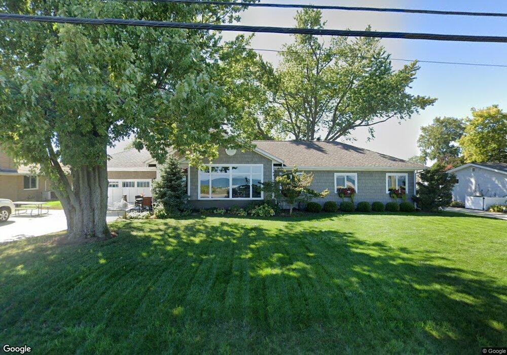
1611 Cedar Point Rd Sandusky, OH 44870
Estimated Value: $549,082 - $982,000
3
Beds
3
Baths
2,086
Sq Ft
$363/Sq Ft
Est. Value
About This Home
This home is located at 1611 Cedar Point Rd, Sandusky, OH 44870 and is currently estimated at $757,771, approximately $363 per square foot. 1611 Cedar Point Rd is a home located in Erie County with nearby schools including Sandusky High School and Monroe Preparatory Academy.
Ownership History
Date
Name
Owned For
Owner Type
Purchase Details
Closed on
Mar 22, 1996
Sold by
Gundlach Charles W
Bought by
Mcgory Gregory S and Mcgory Paula J
Current Estimated Value
Home Financials for this Owner
Home Financials are based on the most recent Mortgage that was taken out on this home.
Original Mortgage
$171,000
Outstanding Balance
$7,697
Interest Rate
8.5%
Mortgage Type
VA
Estimated Equity
$750,074
Create a Home Valuation Report for This Property
The Home Valuation Report is an in-depth analysis detailing your home's value as well as a comparison with similar homes in the area
Home Values in the Area
Average Home Value in this Area
Purchase History
| Date | Buyer | Sale Price | Title Company |
|---|---|---|---|
| Mcgory Gregory S | $180,000 | -- |
Source: Public Records
Mortgage History
| Date | Status | Borrower | Loan Amount |
|---|---|---|---|
| Open | Mcgory Gregory S | $171,000 |
Source: Public Records
Tax History Compared to Growth
Tax History
| Year | Tax Paid | Tax Assessment Tax Assessment Total Assessment is a certain percentage of the fair market value that is determined by local assessors to be the total taxable value of land and additions on the property. | Land | Improvement |
|---|---|---|---|---|
| 2024 | $7,213 | $187,477 | $110,670 | $76,807 |
| 2023 | $7,213 | $142,971 | $87,885 | $55,086 |
| 2022 | $7,074 | $142,971 | $87,885 | $55,086 |
| 2021 | $7,139 | $142,980 | $87,890 | $55,090 |
| 2020 | $7,449 | $137,180 | $87,890 | $49,290 |
| 2019 | $7,664 | $137,180 | $87,890 | $49,290 |
| 2018 | $7,672 | $137,180 | $87,890 | $49,290 |
| 2017 | $7,713 | $137,460 | $90,810 | $46,650 |
| 2016 | $7,709 | $137,460 | $90,810 | $46,650 |
| 2015 | $7,504 | $148,260 | $90,810 | $57,450 |
| 2014 | $6,786 | $134,880 | $82,030 | $52,850 |
| 2013 | $6,716 | $134,880 | $82,030 | $52,850 |
Source: Public Records
Map
Nearby Homes
- 1602 Willow Dr
- 1711 Willow Dr
- 939 Cedar Point Rd
- 607 Bimini Dr
- 49 Marina Point Dr
- 32 Marina Point Dr
- 1306 E Larchmont Dr
- 1708 Dietrick St
- 1665 Oakmont Ln
- 1648 Oakmont Ln
- 1418 E Larchmont Dr
- 444 Hasting Dr
- 1230 5th St
- 1401 Mckinley St
- 611 Lockwood Ave
- 4 Curran St
- 3 Curran St
- 1115 5th St
- 1009 4th St
- 1448 Dixon Dr
- 1615 Cedar Point Rd
- 1607 Cedar Point Rd
- 1610 Willow Dr
- 1606 Willow Dr
- 1619 Cedar Point Rd
- 1603 Cedar Point Rd
- 1618 Willow Dr
- 1613 Willow Dr
- 1609 Willow Dr
- 1623 Cedar Point Rd
- 1539 Cedar Point Rd
- 1622 Willow Dr
- 1538 Willow Dr
- 1621 Willow Dr
- 1605 Willow Dr
- 1627 Cedar Point Rd
- 1535 Cedar Point Rd
- 1534 Willow Dr
- 1625 Willow Dr
- 1535 Willow Dr