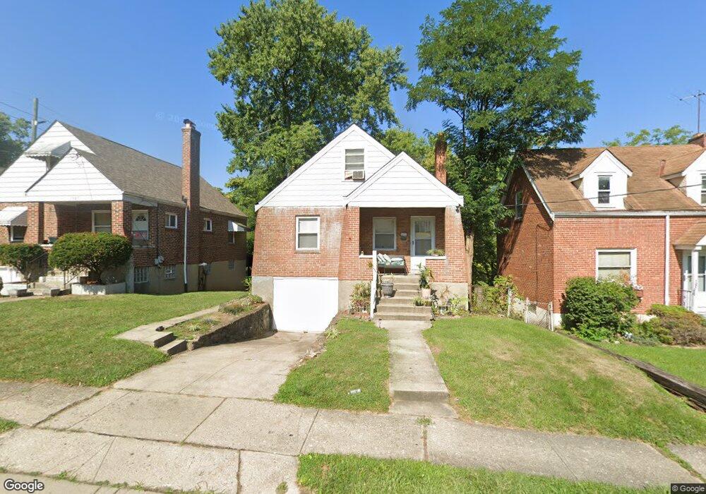
1611 Dorothy Ln Cincinnati, OH 45205
East Price Hill NeighborhoodEstimated Value: $115,590 - $165,000
3
Beds
1
Bath
756
Sq Ft
$178/Sq Ft
Est. Value
About This Home
This home is located at 1611 Dorothy Ln, Cincinnati, OH 45205 and is currently estimated at $134,398, approximately $177 per square foot. 1611 Dorothy Ln is a home located in Hamilton County with nearby schools including Gilbert A. Dater High School, Western Hills High School, and Robert A. Taft Information Technology High School.
Ownership History
Date
Name
Owned For
Owner Type
Purchase Details
Closed on
Oct 26, 2012
Sold by
Future Gains Inc
Bought by
Ddb Investments Llc
Current Estimated Value
Purchase Details
Closed on
Jan 11, 2012
Sold by
Oconnor Martin J
Bought by
Future Gains Inc
Purchase Details
Closed on
Jan 30, 2006
Sold by
Oconnor Michael J and Oconnor Nancy E
Bought by
Oconnor Martin J
Purchase Details
Closed on
Jan 22, 2005
Sold by
Oconnor Elena
Bought by
Oconnor Martin J
Create a Home Valuation Report for This Property
The Home Valuation Report is an in-depth analysis detailing your home's value as well as a comparison with similar homes in the area
Home Values in the Area
Average Home Value in this Area
Purchase History
| Date | Buyer | Sale Price | Title Company |
|---|---|---|---|
| Ddb Investments Llc | -- | Attorney | |
| Future Gains Inc | $7,979 | None Available | |
| Oconnor Martin J | -- | None Available | |
| Oconnor Martin J | -- | None Available |
Source: Public Records
Tax History Compared to Growth
Tax History
| Year | Tax Paid | Tax Assessment Tax Assessment Total Assessment is a certain percentage of the fair market value that is determined by local assessors to be the total taxable value of land and additions on the property. | Land | Improvement |
|---|---|---|---|---|
| 2024 | $1,596 | $24,819 | $2,611 | $22,208 |
| 2023 | $1,598 | $24,819 | $2,611 | $22,208 |
| 2022 | $993 | $13,721 | $2,314 | $11,407 |
| 2021 | $968 | $13,721 | $2,314 | $11,407 |
| 2020 | $971 | $13,721 | $2,314 | $11,407 |
| 2019 | $969 | $12,475 | $2,104 | $10,371 |
| 2018 | $970 | $12,475 | $2,104 | $10,371 |
| 2017 | $933 | $12,475 | $2,104 | $10,371 |
| 2016 | $940 | $12,250 | $2,422 | $9,828 |
| 2015 | $842 | $12,250 | $2,422 | $9,828 |
| 2014 | $846 | $12,250 | $2,422 | $9,828 |
| 2013 | $859 | $12,250 | $2,422 | $9,828 |
Source: Public Records
Map
Nearby Homes
- 1605 Ross Ave
- 3742 Mayfield Ave
- 3744 Mayfield Ave
- 1702 Wyoming Ave
- 3634 W Liberty St
- 1318 Beech Ave
- 1700 Minion Ave
- 1709 Wyoming Ave
- 1215 Ridlen Ave
- 3810 W Liberty St
- 3910 W Liberty St
- 4000 W Liberty St
- 1438 Manss Ave
- 1120 Carson Ave
- 1506 Beech Ave
- 1248 Drott Ave
- 1118 Seton Ave
- 1273 Iliff Ave
- 1114 Seton Ave
- 1645 Iliff Ave
- 1607 Dorothy Ln
- 1617 Dorothy Ln
- 1603 Dorothy Ln
- 1610 Dorothy Ln
- 1615 Atson Ln
- 1606 Dorothy Ln
- 1614 Dorothy Ln
- 1618 Dorothy Ln
- 1602 Dorothy Ln
- 1619 Atson Ln
- 1626 Atson Ln
- 1623 Atson Ln
- 1616 Quebec Rd
- 1614 Quebec Rd
- 1618 Quebec Rd
- 1630 Atson Ln
- 1627 Atson Ln
- 1286 Quebec Rd
- 1620 Quebec Rd
- 1610 Atson Ln