Estimated Value: $203,000 - $221,000
3
Beds
2
Baths
1,474
Sq Ft
$145/Sq Ft
Est. Value
About This Home
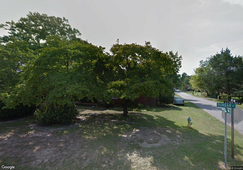
This home is located at 1611 Dunbar Rd, Cayce, SC 29033 and is currently estimated at $214,336, approximately $145 per square foot. 1611 Dunbar Rd is a home located in Lexington County with nearby schools including Cayce Elementary, Cyril B. Busbee Creative Arts Academy, and Brookland-Cayce High School.
Ownership History
Date
Name
Owned For
Owner Type
Purchase Details
Closed on
Aug 12, 2016
Sold by
Lancaster Robert A
Bought by
Fitts Devin Rae
Current Estimated Value
Home Financials for this Owner
Home Financials are based on the most recent Mortgage that was taken out on this home.
Original Mortgage
$8,000
Outstanding Balance
$852
Interest Rate
3.42%
Mortgage Type
Unknown
Estimated Equity
$213,484
Purchase Details
Closed on
Oct 10, 2003
Sold by
Kiesel Ray J
Bought by
Thrailkill Jim
Create a Home Valuation Report for This Property
The Home Valuation Report is an in-depth analysis detailing your home's value as well as a comparison with similar homes in the area
Home Values in the Area
Average Home Value in this Area
Purchase History
| Date | Buyer | Sale Price | Title Company |
|---|---|---|---|
| Fitts Devin Rae | $102,000 | None Available | |
| Thrailkill Jim | $116,000 | -- |
Source: Public Records
Mortgage History
| Date | Status | Borrower | Loan Amount |
|---|---|---|---|
| Open | Fitts Devin Rae | $8,000 | |
| Open | Fitts Devin Rae | $100,152 |
Source: Public Records
Tax History Compared to Growth
Tax History
| Year | Tax Paid | Tax Assessment Tax Assessment Total Assessment is a certain percentage of the fair market value that is determined by local assessors to be the total taxable value of land and additions on the property. | Land | Improvement |
|---|---|---|---|---|
| 2024 | $894 | $4,474 | $800 | $3,674 |
| 2023 | $808 | $4,474 | $800 | $3,674 |
| 2022 | $796 | $4,474 | $800 | $3,674 |
| 2020 | $778 | $4,474 | $800 | $3,674 |
| 2019 | $724 | $4,080 | $800 | $3,280 |
| 2018 | $715 | $4,080 | $800 | $3,280 |
| 2017 | $690 | $4,080 | $800 | $3,280 |
| 2016 | $1,818 | $5,407 | $1,200 | $4,207 |
| 2014 | $502 | $3,988 | $800 | $3,188 |
| 2013 | -- | $3,990 | $800 | $3,190 |
Source: Public Records
Map
Nearby Homes
- 1409 Hazel St
- 1414 Hazel St
- 1519 Benedict St
- 1515 Benedict St
- 000 Frink St
- 1832 Wadsworth Dr
- Dunbar II Plan at Dunbar Village
- 113 Odell Dr
- 109 Odell Dr
- 105 Odell Dr
- 117 Odell Dr
- 121 Odell Dr
- 133 Odell Dr
- 125 Odell Dr
- 129 Odell Dr
- 141 Odell Dr
- 2326 Baxter St
- 1818 Sunnyside Dr
- 2335 Laurie St
- 0 Highway 302 Hwy Unit 589442
- 1616 Abbott Rd
- 1609 Dunbar Rd
- 1701 Dunbar Rd
- 1612 Abbott Rd
- 1605 Dunbar Rd
- 1620 Dunbar Rd
- 2108 Middleton St
- 1705 Dunbar Rd
- 1912 Middleton St
- 1702 Dunbar Rd
- 2111 Middleton St
- 1603 Dunbar Rd
- 1610 Abbott Rd
- 1328 Glenn St
- 1909 Middleton St
- 2112 Middleton St
- 1908 Middleton St
- 1905 Middleton St
- 1616 Dunbar Rd
- 1707 Dunbar Rd