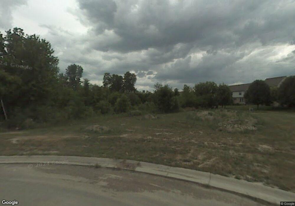
1611 Iman Rd Unit 7 Canton, MI 48188
Estimated Value: $465,000 - $1,133,000
Studio
1
Bath
4,623
Sq Ft
$165/Sq Ft
Est. Value
About This Home
This home is located at 1611 Iman Rd Unit 7, Canton, MI 48188 and is currently estimated at $762,946, approximately $165 per square foot. 1611 Iman Rd Unit 7 is a home located in Wayne County with nearby schools including Canton High School, Salem High School, and Plymouth High School.
Ownership History
Date
Name
Owned For
Owner Type
Purchase Details
Closed on
Feb 18, 2013
Sold by
Rab Zia
Bought by
Ahmad Tasadaq Ali and Ahmad Mayyera
Current Estimated Value
Purchase Details
Closed on
Jun 4, 2012
Sold by
Rab Zia
Bought by
Ahmad Tasadaq Ali and Ahmad Nayyera
Home Financials for this Owner
Home Financials are based on the most recent Mortgage that was taken out on this home.
Original Mortgage
$30,000
Interest Rate
3.92%
Mortgage Type
Seller Take Back
Purchase Details
Closed on
May 26, 2009
Sold by
Multi Tech Resources Inc
Bought by
Rab Zia
Purchase Details
Closed on
Jan 22, 2003
Sold by
Boykins Larry and Boykins Diane
Bought by
Multi Tech Resources Inc
Create a Home Valuation Report for This Property
The Home Valuation Report is an in-depth analysis detailing your home's value as well as a comparison with similar homes in the area
Home Values in the Area
Average Home Value in this Area
Purchase History
| Date | Buyer | Sale Price | Title Company |
|---|---|---|---|
| Ahmad Tasadaq Ali | $60,000 | None Available | |
| Ahmad Tasadaq Ali | $60,000 | None Available | |
| Rab Zia | $15,000 | None Available | |
| Multi Tech Resources Inc | $92,500 | North Oakland Title Company |
Source: Public Records
Mortgage History
| Date | Status | Borrower | Loan Amount |
|---|---|---|---|
| Previous Owner | Ahmad Tasadaq Ali | $30,000 |
Source: Public Records
Tax History
| Year | Tax Paid | Tax Assessment Tax Assessment Total Assessment is a certain percentage of the fair market value that is determined by local assessors to be the total taxable value of land and additions on the property. | Land | Improvement |
|---|---|---|---|---|
| 2025 | $7,286 | $439,200 | $0 | $0 |
| 2024 | $7,079 | $426,900 | $0 | $0 |
| 2023 | $6,749 | $404,000 | $0 | $0 |
| 2022 | $14,409 | $373,900 | $0 | $0 |
| 2021 | $13,983 | $362,700 | $0 | $0 |
| 2020 | $13,817 | $355,600 | $0 | $0 |
| 2019 | $13,560 | $347,740 | $0 | $0 |
| 2018 | $5,736 | $339,030 | $0 | $0 |
| 2017 | $13,499 | $342,600 | $0 | $0 |
| 2016 | $16,912 | $324,000 | $0 | $0 |
| 2015 | $18,729 | $249,110 | $0 | $0 |
| 2013 | $3,121 | $31,210 | $0 | $0 |
| 2010 | -- | $29,720 | $0 | $0 |
Source: Public Records
Map
Nearby Homes
- 1829 Pebble Creek Dr Unit 6
- 40049 Rolling Green Ct
- 43149 Wilderness Dr
- 2087 Fairway Cir Unit 63
- 2393 Arcadia Dr
- 709 Foothill Dr
- 2087 Arcadia Dr Unit 65
- 1890 Cedar Valley Dr Unit 38
- 1803 Pinecroft Dr Unit 171
- 2463 Arcadia Dr
- 1786 Daisey Ln Unit 32
- 1040 Wildwood Ln
- 1639 Tulip Ln
- 39258 Avondale St
- 2610 Hannan Rd
- 2618 Hannan Rd
- 39288 Nottingham St
- 000 S Lotz Rd
- 39234 Gloucester St
- 00000 Avondale St
- 1634 Dunston Rd
- 1618 Dunston Rd
- 1648 Dunston Rd
- 1600 Dunston Rd
- 1662 Dunston Rd
- 1665 Iman Rd Unit 7
- 1588 Dunston Rd
- 1680 Dunston Rd
- 1572 Dunston Rd
- 1641 Dunston Rd
- 1691 Iman Road Marvin St
- 1694 Dunston Rd
- 1614 Crestview Dr
- 1691 Iman Rd Unit 4
- 1653 Dunston Rd
- 1675 Dunston Rd
- 1556 Dunston Rd Unit Bldg-Unit
- 1556 Dunston Rd
- 1689 Dunston Rd
- 1710 Dunston Rd
