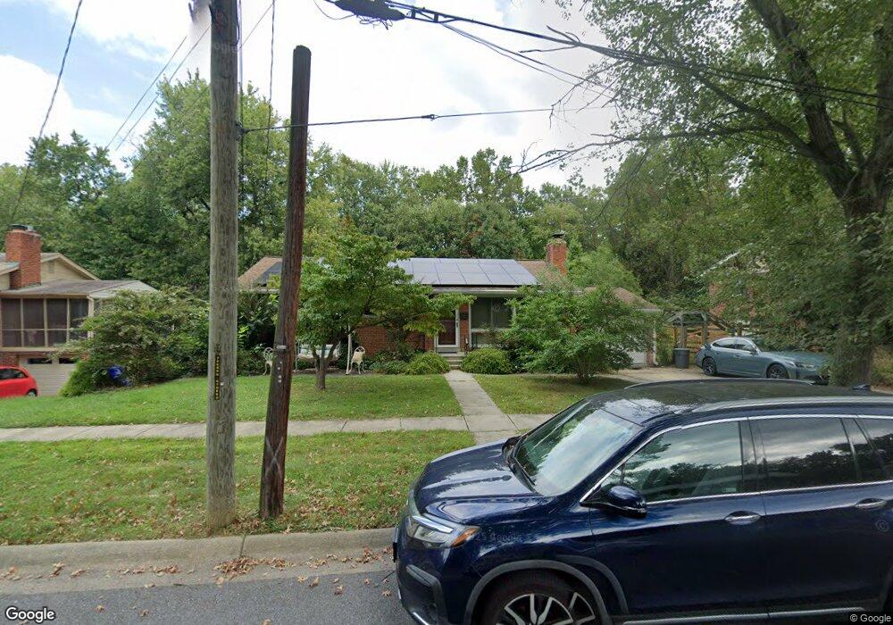
1611 Ladd St Silver Spring, MD 20902
Estimated Value: $529,000 - $617,000
Studio
3
Baths
1,232
Sq Ft
$472/Sq Ft
Est. Value
About This Home
This home is located at 1611 Ladd St, Silver Spring, MD 20902 and is currently estimated at $580,915, approximately $471 per square foot. 1611 Ladd St is a home located in Montgomery County with nearby schools including Arcola Elementary School, Odessa Shannon Middle School, and Northwood High School.
Ownership History
Date
Name
Owned For
Owner Type
Purchase Details
Closed on
Mar 13, 2025
Sold by
Mullen Phillip A and Mullen Elizabeth A
Bought by
Mullen Phillip A and Mullen Elizabeth A
Current Estimated Value
Purchase Details
Closed on
Jan 8, 2002
Sold by
Dejongh Oscar H and Dejongh L M
Bought by
Mullen Phillip A and Mullen Elizabeth A
Purchase Details
Closed on
Jun 23, 2000
Sold by
Loring Stanley and Loring R B
Bought by
Dejongh Oscar H and Dejongh L M
Create a Home Valuation Report for This Property
The Home Valuation Report is an in-depth analysis detailing your home's value as well as a comparison with similar homes in the area
Home Values in the Area
Average Home Value in this Area
Purchase History
| Date | Buyer | Sale Price | Title Company |
|---|---|---|---|
| Mullen Phillip A | -- | None Listed On Document | |
| Mullen Phillip A | -- | None Listed On Document | |
| Mullen Phillip A | $249,900 | -- | |
| Dejongh Oscar H | $220,000 | -- |
Source: Public Records
Tax History
| Year | Tax Paid | Tax Assessment Tax Assessment Total Assessment is a certain percentage of the fair market value that is determined by local assessors to be the total taxable value of land and additions on the property. | Land | Improvement |
|---|---|---|---|---|
| 2025 | $6,634 | $554,400 | $202,600 | $351,800 |
| 2024 | $6,634 | $512,767 | -- | -- |
| 2023 | $5,439 | $471,133 | $0 | $0 |
| 2022 | $4,701 | $429,500 | $202,600 | $226,900 |
| 2021 | $4,354 | $418,367 | $0 | $0 |
| 2020 | $4,354 | $407,233 | $0 | $0 |
| 2019 | $4,196 | $396,100 | $192,700 | $203,400 |
| 2018 | $4,085 | $388,167 | $0 | $0 |
| 2017 | $4,063 | $380,233 | $0 | $0 |
| 2016 | -- | $372,300 | $0 | $0 |
| 2015 | $3,699 | $371,067 | $0 | $0 |
| 2014 | $3,699 | $369,833 | $0 | $0 |
Source: Public Records
Map
Nearby Homes
- 1512 Vivian Ct
- 11515 Orebaugh Ave
- 11505 Monticello Ave
- 1121 University Blvd W
- 1121 University Blvd W Unit 1407B
- 1111 University Blvd W Unit 511
- 1111 University Blvd W
- 1111 University Blvd W Unit 919A
- 1111 University Blvd W Unit 1406
- 1401 Jasper St
- 11514 Bucknell Dr Unit 102
- 907 N Belgrade Rd
- 11013 Amherst Ave
- 10829 Bucknell Dr
- 11000 Conti Place
- 10851 Amherst Ave Unit 102
- 11612 Leesborough Cir
- 1910 Plyers Mill Rd
- 1518 Gridley Ln
- 2207 Leesborough Dr
- 1609 Ladd St
- 1613 Ladd St
- 1607 Ladd St
- 1612 Ladd St
- 1615 Ladd St
- 11127 Easecrest Dr
- 1608 Ladd St
- 11125 Easecrest Dr
- 1605 Ladd St
- 1604 Ladd St
- 1617 Ladd St
- 11123 Easecrest Dr
- 1603 Ladd St
- 11120 Nicholas Dr
- 11122 Nicholas Dr
- 11124 Nicholas Dr
- 11126 Easecrest Dr
- 11124 Easecrest Dr
- 1701 Ladd St
- 11121 Easecrest Dr
Your Personal Tour Guide
Ask me questions while you tour the home.