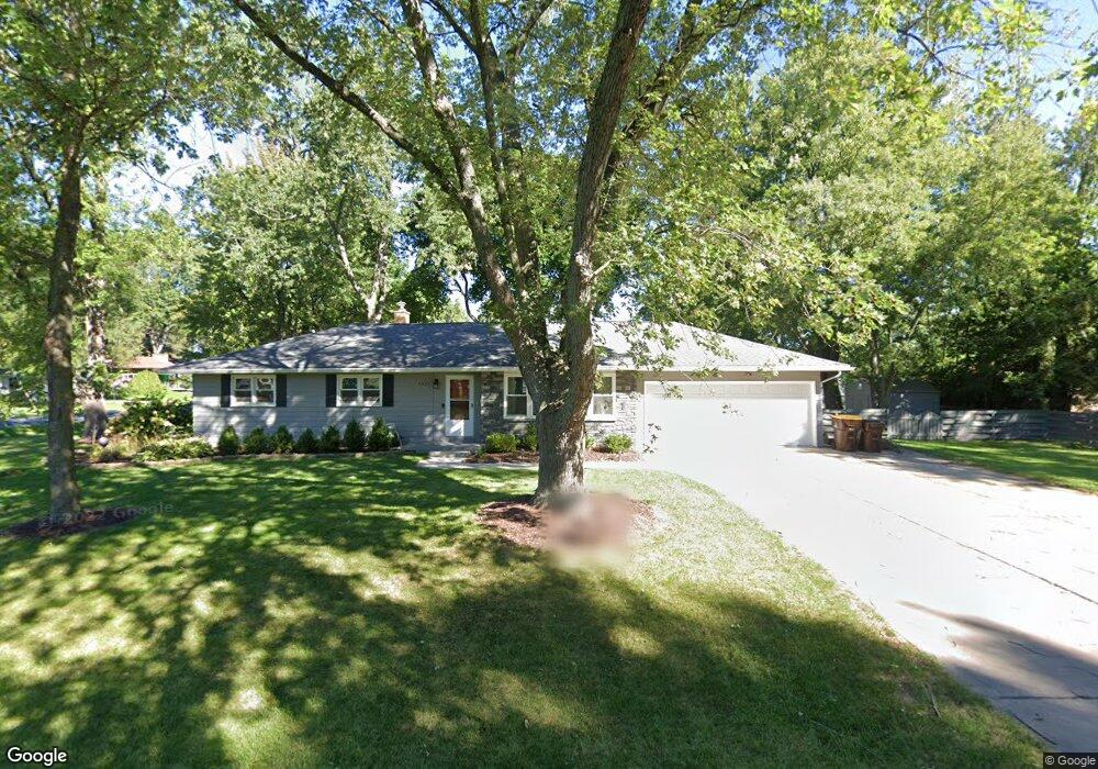
1611 Sherbrook Rd Lansing, MI 48906
Estimated Value: $184,000 - $241,000
3
Beds
1
Bath
1,314
Sq Ft
$162/Sq Ft
Est. Value
About This Home
This home is located at 1611 Sherbrook Rd, Lansing, MI 48906 and is currently estimated at $212,789, approximately $161 per square foot. 1611 Sherbrook Rd is a home located in Clinton County with nearby schools including Gier Park School, Pattengill Academy, and Eastern High School.
Ownership History
Date
Name
Owned For
Owner Type
Purchase Details
Closed on
Nov 26, 2018
Sold by
Bannasch Nicholas A
Bought by
Bannasch Nicholas A and Bannasch Brahmlin K
Current Estimated Value
Purchase Details
Closed on
Apr 8, 2013
Sold by
Secretary Of Housing & Urban Development
Bought by
Bannasch Nicholas A
Purchase Details
Closed on
Mar 21, 2012
Sold by
Everbank
Bought by
The Secretary Of Housing & Urban Develop
Purchase Details
Closed on
Aug 24, 2011
Sold by
Silvey Dian L
Bought by
Everbank
Create a Home Valuation Report for This Property
The Home Valuation Report is an in-depth analysis detailing your home's value as well as a comparison with similar homes in the area
Home Values in the Area
Average Home Value in this Area
Purchase History
| Date | Buyer | Sale Price | Title Company |
|---|---|---|---|
| Bannasch Nicholas A | -- | None Available | |
| Bannasch Nicholas A | $37,406 | None Available | |
| The Secretary Of Housing & Urban Develop | -- | None Available | |
| Everbank | $113,326 | None Available |
Source: Public Records
Tax History
| Year | Tax Paid | Tax Assessment Tax Assessment Total Assessment is a certain percentage of the fair market value that is determined by local assessors to be the total taxable value of land and additions on the property. | Land | Improvement |
|---|---|---|---|---|
| 2025 | $1,613 | $79,000 | $22,000 | $57,000 |
| 2024 | $11 | $73,500 | $20,600 | $52,900 |
| 2023 | $997 | $65,200 | $0 | $0 |
| 2022 | $1,585 | $57,200 | $18,300 | $38,900 |
| 2021 | $1,413 | $54,100 | $17,400 | $36,700 |
| 2020 | $1,400 | $50,700 | $16,400 | $34,300 |
| 2019 | $1,340 | $47,100 | $15,400 | $31,700 |
| 2018 | $1,173 | $45,100 | $15,000 | $30,100 |
| 2017 | $1,158 | $43,200 | $14,300 | $28,900 |
| 2016 | $1,152 | $40,900 | $13,500 | $27,400 |
| 2015 | $1,118 | $38,500 | $0 | $0 |
| 2011 | -- | $52,100 | $0 | $0 |
Source: Public Records
Map
Nearby Homes
- 15378 Chetwyn Dr
- 1901 E Stoll Rd
- 605 Galahad Dr Unit 374
- 15710 Oak Lane Dr
- 606 Eastgate Dr Unit 384
- 15860 Brook Rd
- 107 Normandy Dr Unit 100
- 108 Normandy Dr Unit 77
- 1015 Pearl St
- E State Rd
- 15897 Elmira St
- 210 Saint Ives N
- 220 Saint Ives N
- 14150 Wood Rd
- 1230 W Wieland Rd
- 1401 Bennett Rd
- 16550 S Us 27
- 420 Blenheim Place
- 14103 Ambrosia Ave
- 1694 W Solon Rd
- 15329 Chetwyn Dr
- 1643 Sherbrook Rd
- 1610 Sherbrook Rd
- 15330 Pinehurst Dr
- 15311 Chetwyn Dr
- 1581 Sherbrook Rd
- 15328 Chetwyn Dr
- 15312 Pinehurst Dr
- 15397 Chetwyn Dr
- 15312 Chetwyn Dr
- 15291 Chetwyn Dr
- 15398 Pinehurst Dr
- 15398 Chetwyn Dr
- 15292 Pinehurst Dr
- 1691 Sherbrook Rd
- 1551 Sherbrook Rd
- 15329 Pinehurst Dr
- 15294 Chetwyn Dr
- 15325 Boichot Rd
- 15418 Pinehurst Dr
Your Personal Tour Guide
Ask me questions while you tour the home.