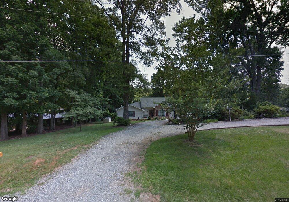
1611 Warf Rd Unit 13-12A Lexington, NC 27292
Estimated Value: $719,000 - $740,000
3
Beds
6
Baths
7,156
Sq Ft
$102/Sq Ft
Est. Value
About This Home
This home is located at 1611 Warf Rd Unit 13-12A, Lexington, NC 27292 and is currently estimated at $730,030, approximately $102 per square foot. 1611 Warf Rd Unit 13-12A is a home located in Davidson County with nearby schools including Southwood Elementary School, Central Davidson Middle School, and Central Davidson High School.
Ownership History
Date
Name
Owned For
Owner Type
Purchase Details
Closed on
Jun 16, 2023
Sold by
Edwards Gary W and Edwards Gail M
Bought by
Maginnis Stephen K and Maginnis Ritamarie
Current Estimated Value
Home Financials for this Owner
Home Financials are based on the most recent Mortgage that was taken out on this home.
Original Mortgage
$554,850
Outstanding Balance
$532,303
Interest Rate
4%
Mortgage Type
VA
Estimated Equity
$197,727
Purchase Details
Closed on
May 6, 2008
Sold by
Edwards William W and Edwards Retta
Bought by
Edwards Gary W and Edwards Gail M
Home Financials for this Owner
Home Financials are based on the most recent Mortgage that was taken out on this home.
Original Mortgage
$217,236
Interest Rate
4.79%
Mortgage Type
FHA
Purchase Details
Closed on
Sep 1, 1991
Create a Home Valuation Report for This Property
The Home Valuation Report is an in-depth analysis detailing your home's value as well as a comparison with similar homes in the area
Home Values in the Area
Average Home Value in this Area
Purchase History
| Date | Buyer | Sale Price | Title Company |
|---|---|---|---|
| Maginnis Stephen K | $685,000 | None Listed On Document | |
| Edwards Gary W | $176,000 | None Available | |
| -- | -- | -- |
Source: Public Records
Mortgage History
| Date | Status | Borrower | Loan Amount |
|---|---|---|---|
| Open | Maginnis Stephen K | $554,850 | |
| Previous Owner | Edwards Gary W | $217,236 |
Source: Public Records
Tax History Compared to Growth
Tax History
| Year | Tax Paid | Tax Assessment Tax Assessment Total Assessment is a certain percentage of the fair market value that is determined by local assessors to be the total taxable value of land and additions on the property. | Land | Improvement |
|---|---|---|---|---|
| 2025 | $4,182 | $633,710 | $0 | $0 |
| 2024 | $2,726 | $413,090 | $0 | $0 |
| 2023 | $2,225 | $332,020 | $0 | $0 |
| 2022 | $2,191 | $332,020 | $0 | $0 |
| 2021 | $2,093 | $332,020 | $0 | $0 |
| 2020 | $2,075 | $329,140 | $0 | $0 |
| 2019 | $2,107 | $329,140 | $0 | $0 |
| 2018 | $2,057 | $329,140 | $0 | $0 |
| 2017 | $2,057 | $329,140 | $0 | $0 |
| 2016 | $2,057 | $329,140 | $0 | $0 |
| 2015 | $2,057 | $329,140 | $0 | $0 |
| 2014 | $1,734 | $277,460 | $0 | $0 |
Source: Public Records
Map
Nearby Homes
- 1760 Warf Rd
- 1901 Warf Rd
- 1230 Lake Drive 9
- 718 Lake Drive 9
- 122 Mountain Harbor Dr
- 3422 Old Mountain Rd
- 1101 Warf Rd
- 133 Lake Drive 9
- 1026 Young Mill Rd
- 207 Haven Hill Rd
- 255-257 Pinehaven Dr
- 307 Pinehaven Dr
- 211 Lake Drive 8
- 0 Old Mountain Rd
- 255 Oriole Dr
- 4274 Old Mountain Rd
- 795 Lake Shore Ave
- 310 Lake Shore Ave
- 643 Lake Dr
- 643 Lake Dr Unit 10