Estimated Value: $55,139 - $79,000
--
Bed
--
Bath
--
Sq Ft
9.9
Acres
About This Home
This home is located at 16110 Buffalo Rd Unit CPM 811, Reno, NV 89508 and is currently estimated at $70,713. 16110 Buffalo Rd Unit CPM 811 is a home located in Washoe County with nearby schools including Desert Heights Elementary School, Cold Springs Middle Schools, and North Valleys High School.
Ownership History
Date
Name
Owned For
Owner Type
Purchase Details
Closed on
May 14, 2020
Sold by
Western Highland Mortgage Fund I Llc
Bought by
Mikesell Paul A and Mikesell Joyce L
Current Estimated Value
Home Financials for this Owner
Home Financials are based on the most recent Mortgage that was taken out on this home.
Original Mortgage
$12,000
Outstanding Balance
$10,634
Interest Rate
3.3%
Mortgage Type
Commercial
Estimated Equity
$60,079
Purchase Details
Closed on
May 9, 2007
Sold by
Lingle Devie
Bought by
Lingle Donald G
Create a Home Valuation Report for This Property
The Home Valuation Report is an in-depth analysis detailing your home's value as well as a comparison with similar homes in the area
Home Values in the Area
Average Home Value in this Area
Purchase History
| Date | Buyer | Sale Price | Title Company |
|---|---|---|---|
| Mikesell Paul A | $39,000 | First Centennial Reno | |
| Lingle Donald G | -- | Stewart Title Of Northern Nv |
Source: Public Records
Mortgage History
| Date | Status | Borrower | Loan Amount |
|---|---|---|---|
| Open | Mikesell Paul A | $12,000 |
Source: Public Records
Tax History Compared to Growth
Tax History
| Year | Tax Paid | Tax Assessment Tax Assessment Total Assessment is a certain percentage of the fair market value that is determined by local assessors to be the total taxable value of land and additions on the property. | Land | Improvement |
|---|---|---|---|---|
| 2025 | $231 | $16,625 | $16,625 | -- |
| 2024 | $214 | $14,350 | $14,350 | -- |
| 2023 | $214 | $10,850 | $10,850 | $0 |
| 2022 | $198 | $8,750 | $8,750 | $0 |
| 2021 | $183 | $8,750 | $8,750 | $0 |
| 2020 | $172 | $8,750 | $8,750 | $0 |
| 2019 | $164 | $8,750 | $8,750 | $0 |
| 2018 | $157 | $8,750 | $8,750 | $0 |
| 2017 | $150 | $8,750 | $8,750 | $0 |
| 2016 | $147 | $10,500 | $10,500 | $0 |
| 2015 | $146 | $10,500 | $10,500 | $0 |
| 2014 | $142 | $5,250 | $5,250 | $0 |
| 2013 | -- | $5,250 | $5,250 | $0 |
Source: Public Records
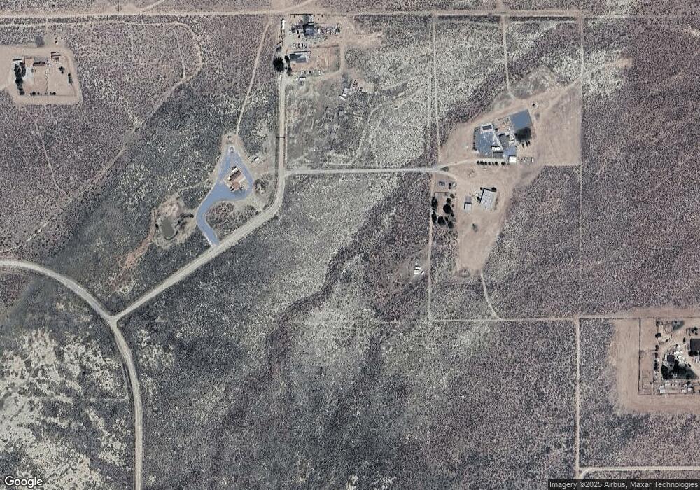
Map
Nearby Homes
- 450 Marshal Rd
- 115 Buckboard Cir
- 0 Chokecherry Unit 250005662
- 405 Branding Iron Rd
- 195 Muletail Cir
- 500 Clydesdale Dr
- 22905 Fetlock Dr
- 40 Cowhide Cir
- 16100 N Red Rock Rd
- 15955 N Red Rock Rd
- 16555 N Red Rock Rd
- 15710 Rancho Dr
- 45 Arabian Way
- 22085 N Red Rock Rd
- 160 Shetland Cir
- 550 Appaloosa Cir
- 110 Arabian Way
- 105 Arabian Way
- 15205 N Red Rock Rd
- 14590 Rancho Dr
- 16110 Buffalo Rd
- 16105 Buffalo Rd
- 16120 Buffalo Rd
- 16125 Buffalo Rd
- 16115 Buffalo Rd
- 16820 Shotgun Rd
- 16250 Roundup Rd
- 15905 Roundup Rd
- 16005 Roundup Rd
- 16105 Roundup Rd
- 15999 Roundup Rd
- 16455 Dry Valley Rd
- 170 Marshall Rd
- 170 Marshal Rd Unit 33
- 170 Marshal Rd
- 162 Marshal Rd
- 130 Lonestar Cir
- 130 Lonestar Cir Unit 27
- 16350 Roundup Rd
- 16355 Roundup Rd