1612 Atlanta Hwy NW Auburn, GA 30011
Estimated Value: $647,910
--
Bed
--
Bath
3,067
Sq Ft
$211/Sq Ft
Est. Value
About This Home
This home is located at 1612 Atlanta Hwy NW, Auburn, GA 30011 and is currently estimated at $647,910, approximately $211 per square foot. 1612 Atlanta Hwy NW is a home located in Barrow County with nearby schools including Auburn Elementary School, Westside Middle School, and Apalachee High School.
Ownership History
Date
Name
Owned For
Owner Type
Purchase Details
Closed on
May 10, 2017
Sold by
Patel Parimal
Bought by
Sant Sairam Llc
Current Estimated Value
Purchase Details
Closed on
Nov 5, 2016
Sold by
Liberty Land Corp
Bought by
Patel Patel V and Patel Rupal P
Purchase Details
Closed on
Nov 1, 2016
Sold by
Myrson Corp
Bought by
Liberty Land Corp
Purchase Details
Closed on
Jun 25, 2015
Sold by
Myrson Corp
Bought by
Patel Parimal and Patel Rupal P
Home Financials for this Owner
Home Financials are based on the most recent Mortgage that was taken out on this home.
Original Mortgage
$192,500
Interest Rate
3.93%
Mortgage Type
Commercial
Purchase Details
Closed on
Nov 21, 2012
Sold by
Hsey Holdings Llc
Bought by
Myrson Corp
Purchase Details
Closed on
Nov 6, 2012
Sold by
Keb Ny Financial Corp
Bought by
Hsey Holdings Llc
Create a Home Valuation Report for This Property
The Home Valuation Report is an in-depth analysis detailing your home's value as well as a comparison with similar homes in the area
Home Values in the Area
Average Home Value in this Area
Purchase History
| Date | Buyer | Sale Price | Title Company |
|---|---|---|---|
| Sant Sairam Llc | $317,000 | -- | |
| Patel Patel V | $106,654 | -- | |
| Liberty Land Corp | $85,000 | -- | |
| Patel Parimal | $300,000 | -- | |
| Myrson Corp | $206,000 | -- | |
| Hsey Holdings Llc | -- | -- |
Source: Public Records
Mortgage History
| Date | Status | Borrower | Loan Amount |
|---|---|---|---|
| Previous Owner | Patel Parimal | $192,500 |
Source: Public Records
Tax History Compared to Growth
Tax History
| Year | Tax Paid | Tax Assessment Tax Assessment Total Assessment is a certain percentage of the fair market value that is determined by local assessors to be the total taxable value of land and additions on the property. | Land | Improvement |
|---|---|---|---|---|
| 2024 | $5,428 | $176,790 | $132,000 | $44,790 |
| 2023 | $4,540 | $176,790 | $132,000 | $44,790 |
| 2022 | $5,228 | $176,790 | $132,000 | $44,790 |
| 2021 | $4,263 | $158,324 | $85,800 | $72,524 |
| 2020 | $5,524 | $173,344 | $85,800 | $87,544 |
| 2019 | $5,608 | $173,344 | $85,800 | $87,544 |
| 2018 | $5,560 | $172,325 | $85,800 | $86,525 |
| 2017 | $1,188 | $159,727 | $85,800 | $73,927 |
| 2016 | $3,878 | $197,036 | $128,700 | $68,336 |
| 2015 | $6,387 | $197,376 | $128,700 | $68,676 |
| 2014 | $4,429 | $141,259 | $72,072 | $69,187 |
| 2013 | -- | $131,878 | $63,063 | $68,815 |
Source: Public Records
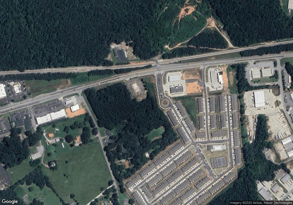
Map
Nearby Homes
- 162 Auburn Run Ln
- 114 Auburn Valley Way
- 34 Auburn Woods Dr
- 124 Auburn Woods Dr
- 32 N Auburn Landing Place
- 36 S Auburn Landing Place
- 15 N Auburn Landing Place
- 350 Auburn Valley Way
- 1689 Mccully Dr
- 86 Appalachee Church Rd
- 402 Auburn Valley Way
- 94 Appalachee Church Rd
- 116 Appalachee Church Rd
- 39 Station Overlook Dr
- Cosmos Plan at Kingston Cove
- 11 Depot Landing Way Unit 68A
- 15 Depot Landing Way Unit 70A
- 17 Depot Landing Way Unit 71A
- 17 Depot Landing Way
- 19 Depot Landing Way Unit 72A
- 105 Auburn Gate Ln Unit 17
- 109 Auburn Gate Ln
- 113 Auburn Gate Ln Unit 15
- 117 Auburn Gate Ln
- 117 Auburn Gate Ln Unit 14
- 96 Auburn Gate Ln
- 121 Auburn Gate Ln
- 100 Auburn Gate Ln Unit 20
- 104 Auburn Gate Ln Unit 21
- 125 Auburn Gate Ln Unit 12
- 129 Auburn Gate Ln
- 108 Auburn Gate Ln
- 22 Appalachee Church Rd
- 112 Auburn Gate Ln Unit 23
- 112 Auburn Gate Ln
- 116 Auburn Gate Ln
- 116 Auburn Gate Ln
- 116 Auburn Gate Ln Unit 24
- 120 Auburn Gate Ln Unit 25
- 25 Appalachee Church Rd Unit 1