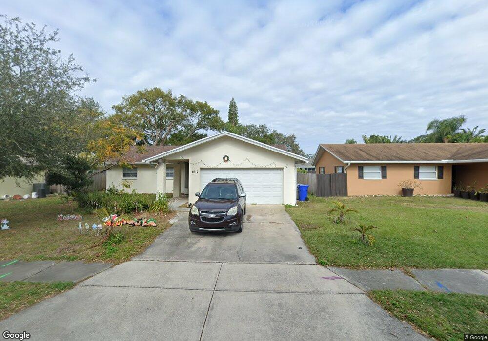
1612 Dale Cir S Unit 2 Dunedin, FL 34698
Estimated Value: $427,644 - $529,000
4
Beds
2
Baths
2,381
Sq Ft
$205/Sq Ft
Est. Value
About This Home
This home is located at 1612 Dale Cir S Unit 2, Dunedin, FL 34698 and is currently estimated at $487,411, approximately $204 per square foot. 1612 Dale Cir S Unit 2 is a home located in Pinellas County with nearby schools including Garrison-Jones Elementary School, Dunedin Highland Middle School, and Dunedin High School.
Ownership History
Date
Name
Owned For
Owner Type
Purchase Details
Closed on
Dec 9, 2013
Sold by
Oyster Jason D and Oyster Daisy
Bought by
Bacaner Tobias and Bacaner Jill
Current Estimated Value
Home Financials for this Owner
Home Financials are based on the most recent Mortgage that was taken out on this home.
Original Mortgage
$120,000
Outstanding Balance
$89,408
Interest Rate
4.13%
Mortgage Type
New Conventional
Estimated Equity
$398,003
Purchase Details
Closed on
Nov 12, 2010
Sold by
Ball Richard J and Ball Judy M
Bought by
Oyster Jason D and Oyster Daisy
Home Financials for this Owner
Home Financials are based on the most recent Mortgage that was taken out on this home.
Original Mortgage
$175,437
Interest Rate
4.87%
Mortgage Type
FHA
Create a Home Valuation Report for This Property
The Home Valuation Report is an in-depth analysis detailing your home's value as well as a comparison with similar homes in the area
Home Values in the Area
Average Home Value in this Area
Purchase History
| Date | Buyer | Sale Price | Title Company |
|---|---|---|---|
| Bacaner Tobias | $160,000 | Total Title Solutions Clw | |
| Oyster Jason D | $180,000 | None Available |
Source: Public Records
Mortgage History
| Date | Status | Borrower | Loan Amount |
|---|---|---|---|
| Open | Bacaner Tobias | $120,000 | |
| Previous Owner | Oyster Jason D | $175,437 |
Source: Public Records
Tax History Compared to Growth
Tax History
| Year | Tax Paid | Tax Assessment Tax Assessment Total Assessment is a certain percentage of the fair market value that is determined by local assessors to be the total taxable value of land and additions on the property. | Land | Improvement |
|---|---|---|---|---|
| 2024 | $4,671 | $318,502 | $187,504 | $130,998 |
| 2023 | $4,671 | $325,879 | $200,837 | $125,042 |
| 2022 | $4,118 | $270,268 | $178,028 | $92,240 |
| 2021 | $3,610 | $195,117 | $0 | $0 |
| 2020 | $3,677 | $195,916 | $0 | $0 |
| 2019 | $3,462 | $187,255 | $87,314 | $99,941 |
| 2018 | $3,261 | $183,131 | $0 | $0 |
| 2017 | $2,982 | $161,821 | $0 | $0 |
| 2016 | $2,671 | $135,593 | $0 | $0 |
| 2015 | $2,635 | $130,759 | $0 | $0 |
| 2014 | $2,452 | $123,604 | $0 | $0 |
Source: Public Records
Map
Nearby Homes
- 1609 Summit Way
- 1600 Dale Cir W
- 1725 Hitching Post Ln
- 1052 Concord Dr W
- 1765 Hitching Post Ln
- 1600 Amberlea Dr N
- 1311 Powderpuff Dr Unit 1009
- 1311 Powderpuff Dr Unit 4
- 1393 Chesterfield Dr
- 1007 Vineyard Ct
- 1980 Tahitian Place Unit 13
- 1341 Azalea Dr Unit 1906
- 1137 King Arthur Ct Unit 503
- 1291 Stony Brook Ln
- 1127 King Arthur Ct Unit 308
- 1127 King Arthur Ct Unit 314
- 1457 Heather Dr
- 1146 King Arthur Ct Unit 114
- 1421 Heather Dr
- 1415 Doolittle Ln Unit 104
- 1614 Dale Cir S
- 1610 Dale Cir S Unit 2
- 1159 Brook Dr W
- 1615 Dale Cir N
- 1616 Dale Cir S
- 1615 Dale Cir S
- 1619 Dale Cir N
- 1617 Dale Cir S
- 1163 Brook Dr W
- 1613 Dale Cir S
- 1618 Dale Cir S
- 1166 Brook Dr W
- 1623 Dale Cir N
- 1162 Brook Dr W
- 1170 Brook Dr W
- 1158 Brook Dr W
- 1621 Dale Cir S
- 1174 Brook Dr W
- 1620 Dale Cir S
- 1618 Brook Dr