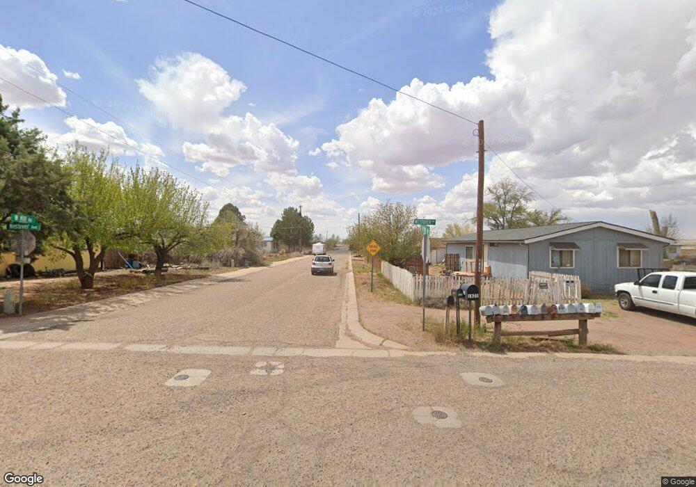
1612 Hill Rd Holbrook, AZ 86025
Estimated Value: $199,000 - $338,000
--
Bed
--
Bath
2,414
Sq Ft
$115/Sq Ft
Est. Value
About This Home
This home is located at 1612 Hill Rd, Holbrook, AZ 86025 and is currently estimated at $277,149, approximately $114 per square foot. 1612 Hill Rd is a home located in Navajo County with nearby schools including Holbrook High School, Living Word Christian School, and Holbrook Seventh-day Adventist Indian School.
Ownership History
Date
Name
Owned For
Owner Type
Purchase Details
Closed on
Apr 14, 2025
Sold by
Scott Beverly Kay and Scott Patricia B
Bought by
Scott Living Trust and Scott
Current Estimated Value
Purchase Details
Closed on
Nov 27, 2017
Sold by
Scott Beverly Kay and Scott Patricia B
Bought by
Scott April Nicole and Scott Beverly Kay
Purchase Details
Closed on
Nov 25, 2011
Sold by
Scott Leroy and Scott Patricia B
Bought by
Scott Beverly Kay
Purchase Details
Closed on
May 9, 2008
Sold by
Scott Leroy and Scott Patricia B
Bought by
Scott Leroy and Scott Patricia B
Create a Home Valuation Report for This Property
The Home Valuation Report is an in-depth analysis detailing your home's value as well as a comparison with similar homes in the area
Home Values in the Area
Average Home Value in this Area
Purchase History
| Date | Buyer | Sale Price | Title Company |
|---|---|---|---|
| Scott Living Trust | -- | None Listed On Document | |
| Scott April Nicole | -- | None Available | |
| Scott Beverly Kay | -- | None Available | |
| Scott Leroy | -- | None Available |
Source: Public Records
Tax History Compared to Growth
Tax History
| Year | Tax Paid | Tax Assessment Tax Assessment Total Assessment is a certain percentage of the fair market value that is determined by local assessors to be the total taxable value of land and additions on the property. | Land | Improvement |
|---|---|---|---|---|
| 2026 | $1,272 | -- | -- | -- |
| 2025 | $1,203 | $22,706 | $802 | $21,904 |
| 2024 | $1,139 | $22,115 | $1,022 | $21,093 |
| 2023 | $1,203 | $16,913 | $1,022 | $15,891 |
| 2022 | $1,139 | $0 | $0 | $0 |
| 2021 | $1,146 | $0 | $0 | $0 |
| 2020 | $1,104 | $0 | $0 | $0 |
| 2019 | $1,046 | $0 | $0 | $0 |
| 2018 | $943 | $0 | $0 | $0 |
| 2017 | $832 | $0 | $0 | $0 |
| 2016 | $880 | $0 | $0 | $0 |
| 2015 | $847 | $8,620 | $1,022 | $7,598 |
Source: Public Records
Map
Nearby Homes
- 1710 Hill Rd
- 1203 Heywood Ave
- 0 W Arizona St Unit 6909715
- 147-US U S 180
- 1219 W Florida St
- 0 105-60-382 Az Rancho 102 Unit 254692
- 0 Ariz Rancho #85 Lots 005 & 024 Unit 258777
- 0 105-61-405 Az Rancho 106 Unit 254845
- 311 W Hopi Dr
- 362 N 5th Ave
- TBD Bucket of Blood St Unit 8
- 0 Bucket of Blood St
- 404 Navajo Blvd
- 1505 Hunsaker Rd
- 1210 W Greer Ave
- 192 N 7th St
- 109 Encanto Dr
- 113 Encanto Dr
- 0 Navajo Blvd Unit 255061
- 406 Encanto Dr
- 1620 Hill Rd
- 1306 Shreeve Ave
- 1611 Hill Rd
- 1310 Shreeve Ave
- 1707 Hill Rd
- 1305 Shreeve Ave
- 1312 Shreeve Ave
- 1709 Hill Rd
- 1610 Randall Rd
- 1308 Westover Ave
- 1308 Westover Ave
- 1616 Mclaws Rd
- 1714 Hill Rd
- 1210 Westover Ave
- 1216 Hill Rd
- 1702 Mclaws Rd
- 1202 Westover Ave
- 1202 Westover Ave
- 1202 Westover Ave
- 1208 Westover Ave