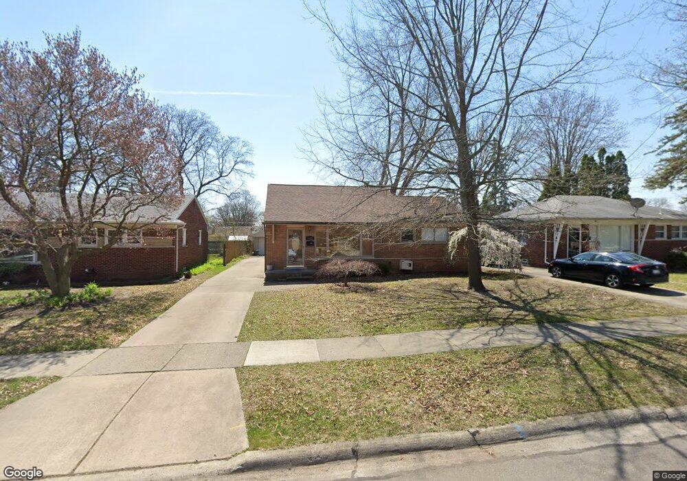
1612 Huron Ave Unit Bldg-Unit Royal Oak, MI 48073
Estimated Value: $380,000 - $414,000
3
Beds
2
Baths
1,464
Sq Ft
$271/Sq Ft
Est. Value
About This Home
This home is located at 1612 Huron Ave Unit Bldg-Unit, Royal Oak, MI 48073 and is currently estimated at $397,324, approximately $271 per square foot. 1612 Huron Ave Unit Bldg-Unit is a home located in Oakland County with nearby schools including Oak Ridge Elementary School, Royal Oak Middle School, and Royal Oak High School.
Ownership History
Date
Name
Owned For
Owner Type
Purchase Details
Closed on
Sep 1, 2015
Sold by
Kennedy John M and Kennedy Eliza J
Bought by
Al Janabie Nafa and Al Ameer Maha
Current Estimated Value
Purchase Details
Closed on
Oct 31, 2003
Sold by
Savage Patrick J and Savage June M
Bought by
Kennedy John M
Purchase Details
Closed on
Mar 13, 1998
Sold by
Khalaf Nafa
Bought by
Savage Patrick J
Home Financials for this Owner
Home Financials are based on the most recent Mortgage that was taken out on this home.
Original Mortgage
$169,435
Interest Rate
7.18%
Create a Home Valuation Report for This Property
The Home Valuation Report is an in-depth analysis detailing your home's value as well as a comparison with similar homes in the area
Home Values in the Area
Average Home Value in this Area
Purchase History
| Date | Buyer | Sale Price | Title Company |
|---|---|---|---|
| Al Janabie Nafa | $215,000 | Liberty | |
| Kennedy John M | $220,000 | Philip R Seaver Title Co Inc | |
| Savage Patrick J | $164,500 | -- |
Source: Public Records
Mortgage History
| Date | Status | Borrower | Loan Amount |
|---|---|---|---|
| Previous Owner | Savage Patrick J | $169,435 |
Source: Public Records
Tax History Compared to Growth
Tax History
| Year | Tax Paid | Tax Assessment Tax Assessment Total Assessment is a certain percentage of the fair market value that is determined by local assessors to be the total taxable value of land and additions on the property. | Land | Improvement |
|---|---|---|---|---|
| 2024 | $6,528 | $153,820 | $0 | $0 |
| 2022 | $7,119 | $139,080 | $0 | $0 |
| 2020 | $6,296 | $128,550 | $0 | $0 |
| 2018 | $7,119 | $114,880 | $0 | $0 |
| 2017 | $6,500 | $114,880 | $0 | $0 |
| 2015 | -- | $87,550 | $0 | $0 |
| 2014 | -- | $85,410 | $0 | $0 |
| 2011 | -- | $67,970 | $0 | $0 |
Source: Public Records
Map
Nearby Homes
- 1612 Genesee Ave
- 25 Lyons Dr
- 1600 Whitcomb Ave
- 1101 Donald Ave
- 925 E 14 Mile Rd
- 940 Coolidge Ave
- 1569 W Whitcomb Ave
- 325 Lyons Dr
- 359 Sheffield Dr
- 769 Coolidge Ave
- 1023 Amelia Ave
- 625 Whitcomb Ave
- 927 Goodale Ave
- 1613 Englewood Ave
- 31430 Meadows Ave
- 1711 Englewood Ave
- 928 Montrose Ave
- 31284 Edgeworth Dr
- 1393 Key West Dr
- 501 E Sunnybrook Dr