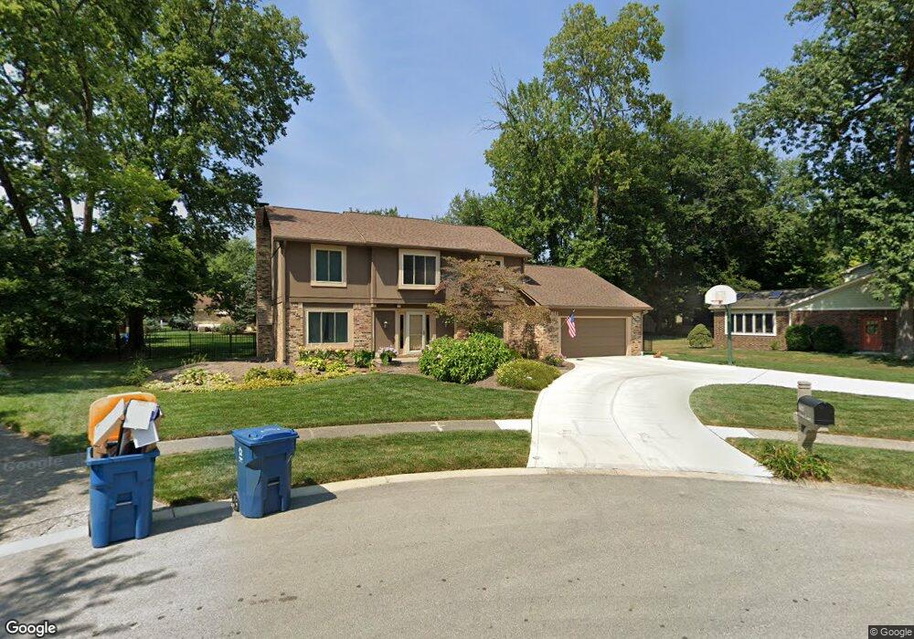
1612 O'Bara Ct Carmel, IN 46033
East Carmel NeighborhoodEstimated Value: $455,000 - $519,802
4
Beds
3
Baths
3,160
Sq Ft
$153/Sq Ft
Est. Value
About This Home
This home is located at 1612 O'Bara Ct, Carmel, IN 46033 and is currently estimated at $484,951, approximately $153 per square foot. 1612 O'Bara Ct is a home located in Hamilton County with nearby schools including Cherry Tree Elementary School, Clay Middle School, and Carmel High School.
Ownership History
Date
Name
Owned For
Owner Type
Purchase Details
Closed on
Apr 25, 2003
Sold by
Sirva Relocation Llc
Bought by
Delaney Michael and Delaney Brenda
Current Estimated Value
Home Financials for this Owner
Home Financials are based on the most recent Mortgage that was taken out on this home.
Original Mortgage
$217,450
Outstanding Balance
$94,169
Interest Rate
5.86%
Mortgage Type
Purchase Money Mortgage
Estimated Equity
$390,782
Purchase Details
Closed on
Apr 4, 2003
Sold by
Madinger Brian C and Madinger Jill J
Bought by
Sirva Relocation Llc
Home Financials for this Owner
Home Financials are based on the most recent Mortgage that was taken out on this home.
Original Mortgage
$217,450
Outstanding Balance
$94,169
Interest Rate
5.86%
Mortgage Type
Purchase Money Mortgage
Estimated Equity
$390,782
Create a Home Valuation Report for This Property
The Home Valuation Report is an in-depth analysis detailing your home's value as well as a comparison with similar homes in the area
Home Values in the Area
Average Home Value in this Area
Purchase History
| Date | Buyer | Sale Price | Title Company |
|---|---|---|---|
| Delaney Michael | $228,900 | -- | |
| Sirva Relocation Llc | $228,900 | -- |
Source: Public Records
Mortgage History
| Date | Status | Borrower | Loan Amount |
|---|---|---|---|
| Open | Delaney Michael | $217,450 |
Source: Public Records
Tax History Compared to Growth
Tax History
| Year | Tax Paid | Tax Assessment Tax Assessment Total Assessment is a certain percentage of the fair market value that is determined by local assessors to be the total taxable value of land and additions on the property. | Land | Improvement |
|---|---|---|---|---|
| 2024 | $3,845 | $365,900 | $100,900 | $265,000 |
| 2023 | $3,845 | $365,900 | $100,900 | $265,000 |
| 2022 | $3,441 | $306,300 | $87,100 | $219,200 |
| 2021 | $3,213 | $288,100 | $87,100 | $201,000 |
| 2020 | $2,827 | $258,300 | $87,100 | $171,200 |
| 2019 | $2,814 | $260,300 | $54,000 | $206,300 |
| 2018 | $2,643 | $249,400 | $54,000 | $195,400 |
| 2017 | $2,604 | $247,100 | $54,000 | $193,100 |
| 2016 | $2,470 | $235,100 | $54,000 | $181,100 |
| 2014 | $2,228 | $224,800 | $45,300 | $179,500 |
| 2013 | $2,228 | $219,000 | $45,300 | $173,700 |
Source: Public Records
Map
Nearby Homes
- 781 Dayton Dr
- 4655 Allen Dr
- 1346 Smokey Row Ln
- 1816 Spruce Dr
- 1483 Spruce Dr
- 1910 Spruce Dr
- 1983 Woodbine Ct
- 128 1st Ct
- 1504 Dorchester Place
- 4443 E Main St
- 13082 Andover Dr
- 13615 Smokey Hollow Place
- 3172 Smokey Ridge Ln
- 14340 Sydney Ln
- 14011 Grisham Dr
- 4950 Tudor Place
- 2913 Twain Dr
- 4952 Jennings Dr
- 4966 Riley Mews
- 2945 Millgate Dr
- 1612 Obara Ct
- 1606 Obara Ct
- 1618 Obara Ct
- 1517 White Ash Dr
- 1603 Obara Ct
- 1531 White Ash Dr
- 1511 White Ash Dr
- 1630 Obara Ct
- 1615 Obara Ct
- 1609 Obara Ct
- 1627 Obara Ct
- 1545 White Ash Dr
- 1514 White Ash Dr
- 1642 O'Bara Ct
- 1642 Obara Ct
- 1503 White Ash Dr
- 1633 Obara Ct
- 680 Carson Ct
- 1540 White Ash Dr
- 653 Ironwood Dr