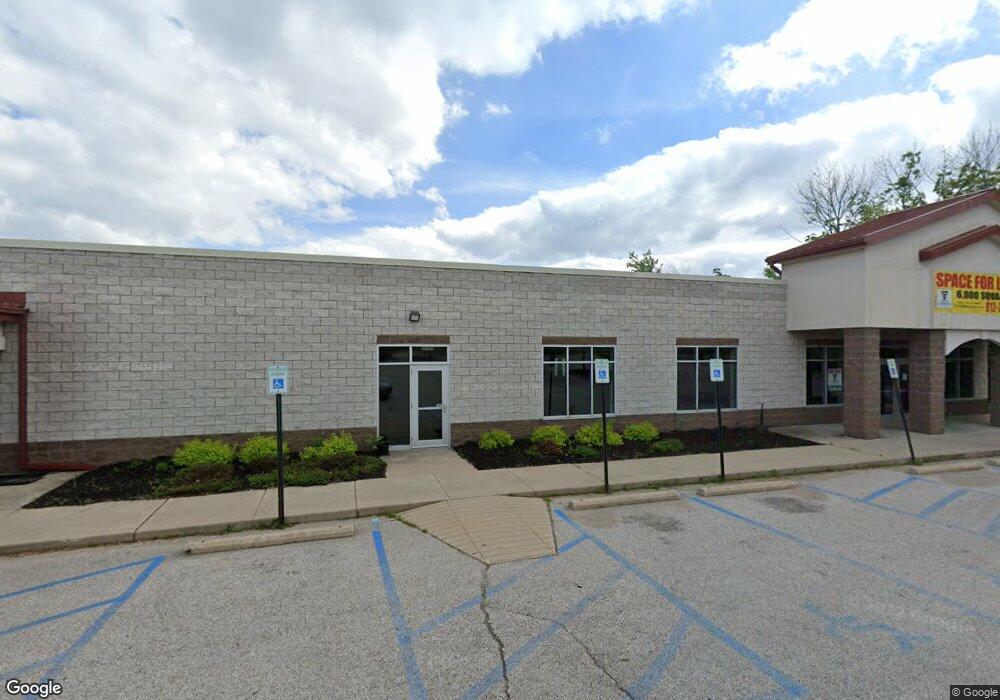
1612 S Liberty Dr Unit Suite B Bloomington, IN 47403
Estimated Value: $1,238,808
--
Bed
--
Bath
5,350
Sq Ft
$232/Sq Ft
Est. Value
About This Home
This home is located at 1612 S Liberty Dr Unit Suite B, Bloomington, IN 47403 and is currently estimated at $1,238,808, approximately $231 per square foot. 1612 S Liberty Dr Unit Suite B is a home located in Monroe County with nearby schools including Highland Park Elementary School, Lora L. Batchelor Middle School, and Bloomington High School North.
Ownership History
Date
Name
Owned For
Owner Type
Purchase Details
Closed on
Apr 10, 2020
Sold by
Woodson Michael D and Woodson Terri L
Bought by
Bland Properties Llc
Current Estimated Value
Home Financials for this Owner
Home Financials are based on the most recent Mortgage that was taken out on this home.
Original Mortgage
$643,109
Outstanding Balance
$447,585
Interest Rate
3.4%
Mortgage Type
Commercial
Estimated Equity
$791,223
Purchase Details
Closed on
Dec 20, 2011
Sold by
Woodson Michael D
Bought by
Woodson Michael D and Woodson Terri L
Home Financials for this Owner
Home Financials are based on the most recent Mortgage that was taken out on this home.
Original Mortgage
$849,286
Interest Rate
3.99%
Mortgage Type
Commercial
Create a Home Valuation Report for This Property
The Home Valuation Report is an in-depth analysis detailing your home's value as well as a comparison with similar homes in the area
Home Values in the Area
Average Home Value in this Area
Purchase History
| Date | Buyer | Sale Price | Title Company |
|---|---|---|---|
| Bland Properties Llc | $825,000 | Capstone Title Partners | |
| Woodson Michael D | -- | None Available |
Source: Public Records
Mortgage History
| Date | Status | Borrower | Loan Amount |
|---|---|---|---|
| Open | Bland Properties Llc | $643,109 | |
| Previous Owner | Woodson Michael D | $849,286 |
Source: Public Records
Tax History Compared to Growth
Tax History
| Year | Tax Paid | Tax Assessment Tax Assessment Total Assessment is a certain percentage of the fair market value that is determined by local assessors to be the total taxable value of land and additions on the property. | Land | Improvement |
|---|---|---|---|---|
| 2024 | $13,632 | $885,900 | $183,200 | $702,700 |
| 2023 | $7,088 | $883,000 | $183,200 | $699,800 |
| 2022 | $12,643 | $853,500 | $183,200 | $670,300 |
| 2021 | $12,410 | $785,300 | $183,200 | $602,100 |
| 2020 | $12,248 | $736,000 | $183,200 | $552,800 |
| 2019 | $9,786 | $647,300 | $183,200 | $464,100 |
| 2018 | $1,634 | $647,300 | $183,200 | $464,100 |
| 2017 | $1,697 | $674,100 | $183,200 | $490,900 |
| 2016 | $1,672 | $674,100 | $183,200 | $490,900 |
| 2014 | -- | $668,200 | $183,200 | $485,000 |
Source: Public Records
Map
Nearby Homes
- 1444 S Liberty Dr Unit 14A
- 2120 S Curry Pike
- 0 W Gifford Rd
- 3808 W Gifford Rd
- 4241 W Doyle Ave
- 770 S Curry Pike
- 824 S Hickory Dr
- 4160 W Middle Ct
- 1101 S Rogers St
- 737 S Western Dr
- 3945 W Walnut Leaf Dr
- 750 S Parkway Dr
- 4044 W State Road 45
- 404 S Hickory Dr
- 1210 S Tall Oaks Dr
- 1341 S Cory Ln
- 2081 W Arbor Ridge Way
- 2011 W Cory Dr
- 5342 W Stonewood Dr
- 5347 W Stonewood Dr
- 1612 S Liberty Dr
- 1751 Liberty Dr
- 1663 S Liberty Dr
- 1400 S Liberty Dr
- 1456 S Liberty Dr
- 1359 Liberty Dr
- 1444 S Liberty Dr
- 1520 S Liberty Dr
- 1900 S Liberty Dr
- 1801 S Liberty Dr
- 1903 S Liberty Dr
- 1907 S Liberty
- 3905 W Farmer Ave
- 1915 Liberty Dr Unit 1915
- 1901 S Liberty Dr
- 1625 S Curry Pike
- 2000 S Liberty Dr Unit 2
- 2000 S Liberty Dr Unit 3
- 2000 S Liberty Dr
- 2000 S Liberty Dr Unit B