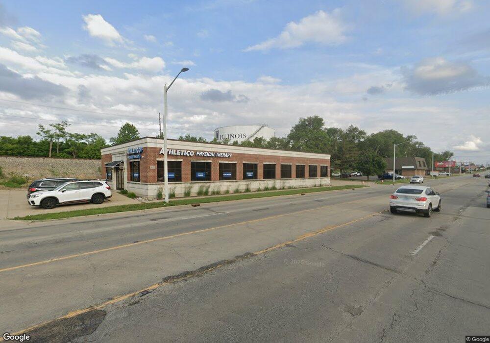
1612 S Neil St Champaign, IL 61820
Estimated Value: $1,014,926
--
Bed
--
Bath
--
Sq Ft
0.38
Acres
About This Home
This home is located at 1612 S Neil St, Champaign, IL 61820 and is currently estimated at $1,014,926. 1612 S Neil St is a home located in Champaign County with nearby schools including Central High School, Montessori Habitat School, and Devonshire KinderCare.
Ownership History
Date
Name
Owned For
Owner Type
Purchase Details
Closed on
Jul 20, 2010
Sold by
Boodram Ramlakhan and Boodram Alcarcilus
Bought by
Jts Properties Llc
Current Estimated Value
Home Financials for this Owner
Home Financials are based on the most recent Mortgage that was taken out on this home.
Original Mortgage
$600,000
Interest Rate
6.25%
Mortgage Type
Commercial
Purchase Details
Closed on
Jul 29, 2005
Sold by
Boodram Ramlakhan
Bought by
Boodram Ramlakhan and Boodram Alcarcilus
Home Financials for this Owner
Home Financials are based on the most recent Mortgage that was taken out on this home.
Original Mortgage
$904,500
Interest Rate
5.8%
Mortgage Type
Commercial
Purchase Details
Closed on
Apr 1, 2004
Sold by
Janitor Supplies Inc
Bought by
Boodram Ramlakhan
Home Financials for this Owner
Home Financials are based on the most recent Mortgage that was taken out on this home.
Original Mortgage
$210,000
Interest Rate
5.65%
Mortgage Type
Commercial
Create a Home Valuation Report for This Property
The Home Valuation Report is an in-depth analysis detailing your home's value as well as a comparison with similar homes in the area
Home Values in the Area
Average Home Value in this Area
Purchase History
| Date | Buyer | Sale Price | Title Company |
|---|---|---|---|
| Jts Properties Llc | $610,000 | None Available | |
| Boodram Ramlakhan | -- | -- | |
| Boodram Ramlakhan | $207,000 | -- |
Source: Public Records
Mortgage History
| Date | Status | Borrower | Loan Amount |
|---|---|---|---|
| Closed | Jts Properties Llc | $600,000 | |
| Previous Owner | Boodram Ramlakhan | $904,500 | |
| Previous Owner | Boodram Ramlakhan | $210,000 |
Source: Public Records
Tax History Compared to Growth
Tax History
| Year | Tax Paid | Tax Assessment Tax Assessment Total Assessment is a certain percentage of the fair market value that is determined by local assessors to be the total taxable value of land and additions on the property. | Land | Improvement |
|---|---|---|---|---|
| 2024 | $19,491 | $237,320 | $72,650 | $164,670 |
| 2023 | $19,491 | $216,140 | $66,170 | $149,970 |
| 2022 | $18,336 | $199,390 | $61,040 | $138,350 |
| 2021 | $16,882 | $184,410 | $56,450 | $127,960 |
| 2020 | $16,908 | $184,410 | $56,450 | $127,960 |
| 2019 | $16,365 | $180,620 | $55,290 | $125,330 |
| 2018 | $15,998 | $177,780 | $54,420 | $123,360 |
| 2017 | $16,064 | $177,780 | $54,420 | $123,360 |
| 2016 | $14,403 | $174,120 | $53,300 | $120,820 |
| 2015 | $14,513 | $171,040 | $52,360 | $118,680 |
| 2014 | $14,389 | $171,040 | $52,360 | $118,680 |
| 2013 | $14,259 | $171,040 | $52,360 | $118,680 |
Source: Public Records
Map
Nearby Homes
- 1601 Coronado Dr
- 312 Avondale Ave
- 812 Dodds Dr
- 508 Haines Blvd
- 904 S Elm Blvd
- 810 Breen Dr
- 1007 S Locust St
- 811 Hamilton Dr
- 32 Greencroft Dr
- 21 Greencroft Dr
- 1919 Melrose Dr Unit 1919B
- 703 S Randolph St
- 207 W John St
- 2007 S Prospect Ave
- 807 Haines Blvd
- 7 Greencroft Dr
- 7 McDonald Ct
- 1106 W Kirby Ave
- 22 Colony Dr W
- 1202 Foothill Dr
- 1704 S Neil St Unit D
- 100 Trade Centre Dr Unit 304
- 100 Trade Centre Dr Unit 102
- 100 Trade Centre Dr Unit 101
- 100 Trade Centre Dr
- 103 W Kirby Ave
- 1707 S Neil St Unit 1
- 1706 S State St
- 1710 S Neil St
- 1605 S State St
- 1605 S State St Unit 1
- 1605 S State St Unit 5
- 1605 S State St Unit 3
- 303 W Kirby Ave
- 1711 S Neil St
- 302 W Kirby Ave
- 1422 S Neil St
- 305 Cedar St
- 303 Cedar St
- 1804 S Neil St