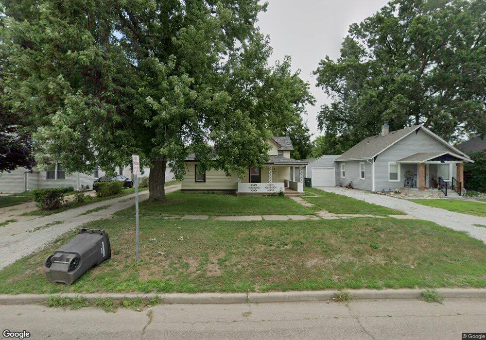
1612 W 4th St Hastings, NE 68901
Estimated Value: $126,000 - $151,000
3
Beds
1
Bath
1,060
Sq Ft
$131/Sq Ft
Est. Value
About This Home
This home is located at 1612 W 4th St, Hastings, NE 68901 and is currently estimated at $139,248, approximately $131 per square foot. 1612 W 4th St is a home located in Adams County with nearby schools including Hastings Senior High School, St. Michael's Preschool & Elementary School, and Zion Lutheran School.
Ownership History
Date
Name
Owned For
Owner Type
Purchase Details
Closed on
Jan 15, 2021
Sold by
Mccoy Richard L and Mccoy Karen M
Bought by
Mccoy Brandon R
Current Estimated Value
Purchase Details
Closed on
Dec 7, 2020
Sold by
Mccoy Richard L and Mccoy Karen M
Bought by
Mccoy Brandon R
Purchase Details
Closed on
Jun 17, 2008
Sold by
Anstine Marietta M
Bought by
Mccoy Richard L and Mccoy Karen M
Home Financials for this Owner
Home Financials are based on the most recent Mortgage that was taken out on this home.
Original Mortgage
$35,000
Interest Rate
6.07%
Mortgage Type
Future Advance Clause Open End Mortgage
Create a Home Valuation Report for This Property
The Home Valuation Report is an in-depth analysis detailing your home's value as well as a comparison with similar homes in the area
Home Values in the Area
Average Home Value in this Area
Purchase History
| Date | Buyer | Sale Price | Title Company |
|---|---|---|---|
| Mccoy Brandon R | -- | None Available | |
| Mccoy Brandon R | -- | None Available | |
| Mccoy Richard L | $20,000 | None Available |
Source: Public Records
Mortgage History
| Date | Status | Borrower | Loan Amount |
|---|---|---|---|
| Closed | Mccoy Richard L | $35,000 |
Source: Public Records
Tax History Compared to Growth
Tax History
| Year | Tax Paid | Tax Assessment Tax Assessment Total Assessment is a certain percentage of the fair market value that is determined by local assessors to be the total taxable value of land and additions on the property. | Land | Improvement |
|---|---|---|---|---|
| 2024 | $1,705 | $106,668 | $18,583 | $88,085 |
| 2023 | $2,075 | $100,541 | $18,583 | $81,958 |
| 2022 | $1,335 | $59,251 | $18,583 | $40,668 |
| 2021 | $1,152 | $52,523 | $14,867 | $37,656 |
| 2020 | $1,094 | $50,730 | $14,867 | $35,863 |
| 2019 | $1,046 | $49,022 | $14,867 | $34,155 |
| 2018 | $885 | $41,250 | $7,095 | $34,155 |
| 2017 | $884 | $41,250 | $0 | $0 |
| 2016 | $824 | $38,430 | $7,095 | $31,335 |
| 2011 | -- | $0 | $0 | $0 |
Source: Public Records
Map
Nearby Homes
- 313 Jefferson Ave
- 1615 W 7th St
- 514 Oswego Ave
- 1734 W 2nd St
- 1801 W 7th St
- 714 N Baltimore Ave
- 1911 W 5th St
- 1918 W 3rd St
- 619 N Briggs Ave
- 310 N Saunders Ave
- 618 N Saunders Ave
- 1814 Boyce St
- 904 N Washington Ave
- 1114-1116 W 6th St
- 711 Crane Ave
- 727 N Williams Ave
- 1011 W 4th St
- 736 N Barnes Ave
- 1423 W B St
- 1001 N Webster Ave