1613 20th Trail Unit 115 Cotopaxi, CO 81223
Estimated Value: $36,000 - $38,000
--
Bed
--
Bath
--
Sq Ft
2.72
Acres
About This Home
This home is located at 1613 20th Trail Unit 115, Cotopaxi, CO 81223 and is currently estimated at $37,179. 1613 20th Trail Unit 115 is a home located in Fremont County with nearby schools including Cotopaxi Elementary School and Cotopaxi Junior/Senior High School.
Ownership History
Date
Name
Owned For
Owner Type
Purchase Details
Closed on
Nov 13, 2023
Sold by
Wilson Delois Wayne and Carlisle Taylor Wynne
Bought by
Rincon Robert Allen and Rincon Barbara Angalique
Current Estimated Value
Purchase Details
Closed on
Jan 11, 2022
Sold by
Lytton John E and Lytton Leigh Ann
Bought by
Wilson Delois Wayne and Carlisle Taylor Wynne
Purchase Details
Closed on
Apr 30, 2021
Sold by
Fowler Robert C
Bought by
Lyton John E and Lyton Leigh Ann
Purchase Details
Closed on
Sep 18, 2018
Sold by
Hardy Evelyn Fay
Bought by
Fowler Robert C
Create a Home Valuation Report for This Property
The Home Valuation Report is an in-depth analysis detailing your home's value as well as a comparison with similar homes in the area
Home Values in the Area
Average Home Value in this Area
Purchase History
| Date | Buyer | Sale Price | Title Company |
|---|---|---|---|
| Rincon Robert Allen | $36,000 | Fidelity National Title | |
| Wilson Delois Wayne | $29,500 | Fidelity National Title | |
| Lyton John E | $28,000 | Fidelity National Title | |
| Fowler Robert C | $10,000 | Fidelity National Title |
Source: Public Records
Tax History Compared to Growth
Tax History
| Year | Tax Paid | Tax Assessment Tax Assessment Total Assessment is a certain percentage of the fair market value that is determined by local assessors to be the total taxable value of land and additions on the property. | Land | Improvement |
|---|---|---|---|---|
| 2024 | $257 | $7,209 | $7,209 | $0 |
| 2023 | $257 | $5,312 | $5,312 | $0 |
| 2022 | $139 | $2,997 | $2,997 | $0 |
| 2021 | $136 | $2,997 | $2,997 | $0 |
| 2020 | $33 | $739 | $0 | $0 |
| 2019 | $33 | $739 | $0 | $0 |
| 2018 | $30 | $666 | $0 | $0 |
| 2017 | $15 | $666 | $0 | $0 |
| 2016 | $14 | $640 | $0 | $0 |
| 2015 | $28 | $640 | $0 | $0 |
| 2012 | $33 | $796 | $796 | $0 |
Source: Public Records
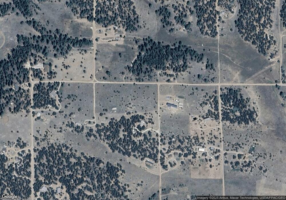
Map
Nearby Homes
- TBD 20th Trail
- 1839 19th Trail
- 1888 19th Trail
- 1263 23rd Trail
- TR-36 23rd Trail
- 1838 17th Trail
- 1812 17th Trail
- TBD 21st Trail
- 876 Q Path
- 0 Trail
- 1204 Hitching Post Rd
- 2225 P Path
- 1204 Hitching Post Rd
- 99 Bradburn Rd
- 1739 17th Trail
- 177 County Road 27a
- 1712 9th Trail
- Lot 90 7th Trail
- 0 Q Path Unit REC8928071
- 0 Q Path Unit 7992612
- 1613 20th Trail Unit lght
- 1613 20th Trail
- TBD L MB 20th Trail
- 1863 20th Trail
- 1862 19th Trail
- 1812 20th Trail
- TBD 19th Trail
- 1163 R Path
- 1562 R Path
- 0 R Path Unit 4907534
- 2076 R Path
- 1863 19th Trail
- 1887 21st Trail Unit 67
- 1887 21st Trail
- 1813 19th Trail
- 00 19th Trail
- 1865 19th Trail
- 000 19th Trail
- 3185 County Road 29 Unit FRE
- TBD F Path & 21st Trail