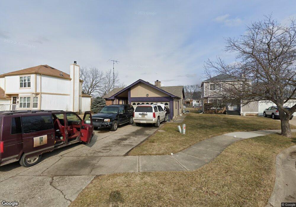
1613 Broad Ct Flint, MI 48503
South Parks NeighborhoodEstimated Value: $82,000 - $100,000
3
Beds
2
Baths
1,123
Sq Ft
$81/Sq Ft
Est. Value
About This Home
This home is located at 1613 Broad Ct, Flint, MI 48503 and is currently estimated at $90,538, approximately $80 per square foot. 1613 Broad Ct is a home located in Genesee County with nearby schools including Freeman Elementary School, Flint Southwestern Classical Academy, and International Academy of Flint (K-12).
Ownership History
Date
Name
Owned For
Owner Type
Purchase Details
Closed on
Jun 18, 2021
Sold by
Perry Diane Marie and Melton Nigel Hakeem
Bought by
Croom Kevin D
Current Estimated Value
Home Financials for this Owner
Home Financials are based on the most recent Mortgage that was taken out on this home.
Original Mortgage
$57,288
Outstanding Balance
$51,867
Interest Rate
2.9%
Mortgage Type
VA
Estimated Equity
$38,671
Purchase Details
Closed on
Nov 13, 2015
Sold by
Perry Diane Marie
Bought by
Perry Diane Marie and Melton Nigel Hakeem
Create a Home Valuation Report for This Property
The Home Valuation Report is an in-depth analysis detailing your home's value as well as a comparison with similar homes in the area
Home Values in the Area
Average Home Value in this Area
Purchase History
| Date | Buyer | Sale Price | Title Company |
|---|---|---|---|
| Croom Kevin D | $56,000 | None Available | |
| Perry Diane Marie | -- | None Available |
Source: Public Records
Mortgage History
| Date | Status | Borrower | Loan Amount |
|---|---|---|---|
| Open | Croom Kevin D | $57,288 |
Source: Public Records
Tax History Compared to Growth
Tax History
| Year | Tax Paid | Tax Assessment Tax Assessment Total Assessment is a certain percentage of the fair market value that is determined by local assessors to be the total taxable value of land and additions on the property. | Land | Improvement |
|---|---|---|---|---|
| 2025 | $1,644 | $27,600 | $0 | $0 |
| 2024 | $1,512 | $23,200 | $0 | $0 |
| 2023 | $1,468 | $19,900 | $0 | $0 |
| 2022 | $0 | $17,500 | $0 | $0 |
| 2021 | $1,255 | $15,300 | $0 | $0 |
| 2020 | $1,149 | $15,000 | $0 | $0 |
| 2019 | $1,119 | $13,200 | $0 | $0 |
| 2018 | $1,621 | $22,000 | $0 | $0 |
| 2017 | $1,574 | $0 | $0 | $0 |
| 2016 | $1,562 | $0 | $0 | $0 |
| 2015 | -- | $0 | $0 | $0 |
| 2014 | -- | $0 | $0 | $0 |
| 2012 | -- | $26,300 | $0 | $0 |
Source: Public Records
Map
Nearby Homes
- 1628 Broad Ct
- 930 Belmont Ave
- 1506 Ridgelawn Ave
- 841 E 8th St
- 2010 Crocker Ave
- 2050 Ferris Ave
- 1106 Maxine St
- 1510 S Franklin Ave
- 2121 Dwight Ave
- 1409 S Franklin Ave
- 915 E Court St
- 915 E Court #206 St Unit 206
- 1129 S Franklin Ave
- 2224 Crocker Ave
- 410 E 4th St
- 1851 Seymour Ave
- 715 Avon St
- 1018 Lafayette St
- 607 East St
- 620 E 2nd St
- 1607 Broad Ct
- 1619 Broad Ct
- 1601 Broad Ct
- 729 Evergreen Ave
- 1623 Broad Ct
- 725 Evergreen Ave
- 731 Evergreen Ave
- 1620 Broad Ct
- 1614 Broad Ct
- 1624 Broad Ct
- 715 Evergreen Ave
- 1627 Broad Ct
- 709 Evergreen Ave
- 705 Evergreen Ave
- 1602 Broad Ct
- 537 E 12th St
- 1621 Park St
- 1701 Park St
- 1617 Park St
- 545 E 12th St