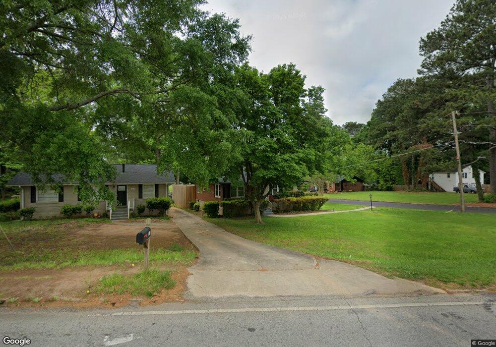
1613 Columbia Dr Decatur, GA 30032
Estimated Value: $200,157 - $229,000
3
Beds
1
Bath
1,125
Sq Ft
$192/Sq Ft
Est. Value
About This Home
This home is located at 1613 Columbia Dr, Decatur, GA 30032 and is currently estimated at $215,789, approximately $191 per square foot. 1613 Columbia Dr is a home located in DeKalb County with nearby schools including Peachcrest Elementary School, Mary McLeod Bethune Middle School, and Towers High School.
Ownership History
Date
Name
Owned For
Owner Type
Purchase Details
Closed on
Oct 24, 2006
Sold by
Walker Joseph N
Bought by
Walker Joseph N and Walker Hollis
Current Estimated Value
Purchase Details
Closed on
Aug 3, 2000
Sold by
Lay Richard C
Bought by
Jennings Daymon
Home Financials for this Owner
Home Financials are based on the most recent Mortgage that was taken out on this home.
Original Mortgage
$86,955
Interest Rate
8.12%
Mortgage Type
FHA
Create a Home Valuation Report for This Property
The Home Valuation Report is an in-depth analysis detailing your home's value as well as a comparison with similar homes in the area
Home Values in the Area
Average Home Value in this Area
Purchase History
| Date | Buyer | Sale Price | Title Company |
|---|---|---|---|
| Walker Joseph N | -- | -- | |
| Jennings Daymon | $88,500 | -- |
Source: Public Records
Mortgage History
| Date | Status | Borrower | Loan Amount |
|---|---|---|---|
| Previous Owner | Jennings Daymon | $86,955 |
Source: Public Records
Tax History Compared to Growth
Tax History
| Year | Tax Paid | Tax Assessment Tax Assessment Total Assessment is a certain percentage of the fair market value that is determined by local assessors to be the total taxable value of land and additions on the property. | Land | Improvement |
|---|---|---|---|---|
| 2025 | $2,784 | $82,600 | $27,920 | $54,680 |
| 2024 | $2,895 | $82,400 | $27,920 | $54,480 |
| 2023 | $2,895 | $75,480 | $27,920 | $47,560 |
| 2022 | $2,098 | $60,880 | $19,040 | $41,840 |
| 2021 | $1,554 | $45,080 | $11,520 | $33,560 |
| 2020 | $1,568 | $45,360 | $11,520 | $33,840 |
| 2019 | $1,209 | $35,240 | $11,520 | $23,720 |
| 2018 | $852 | $28,320 | $11,520 | $16,800 |
| 2017 | $870 | $24,720 | $3,800 | $20,920 |
| 2016 | $548 | $15,880 | $3,800 | $12,080 |
| 2014 | $412 | $7,160 | $3,800 | $3,360 |
Source: Public Records
Map
Nearby Homes
- 1737 Mckenzie Dr
- 1542 Columbia Dr
- 1743 Thomas Terrace
- 1761 Derrill Dr
- 1529 N Columbia Place
- 1520 Columbia Dr
- 1764 Thomas Terrace
- 1609 Tanager Cir
- 3351 Phillip Cir
- 2361 Lynn Lris Dr
- 3367 Misty Valley Rd
- 1560 N Columbia Place
- 1546 Alverado Way
- 1846 Shamrock Dr
- 3089 Del Monico Dr
- 3409 Glensford Dr
- 1853 Pinedale Place
- 3408 Phillips Cir
- 1870 S Columbia Place
- 3247 Bluebird Ln
- 1619 Columbia Dr
- 1623 Columbia Dr
- 1617 Columbia Dr
- 1700 Mckenzie Dr
- 1629 Columbia Dr
- 1697 Mckenzie Dr
- 1601 Columbia Dr
- 1706 Mckenzie Dr
- 1701 Mckenzie Dr
- 1637 Columbia Dr
- 1616 Columbia Dr
- 0 Mckenzie Dr Unit 3166900
- 0 Mckenzie Dr Unit 8646192
- 1707 Mckenzie Dr
- 1608 Columbia Dr
- 1710 Mckenzie Dr
- 1624 Columbia Dr
- 1711 Mckenzie Dr
- 1714 Mckenzie Dr
- 1686 Derrill Dr