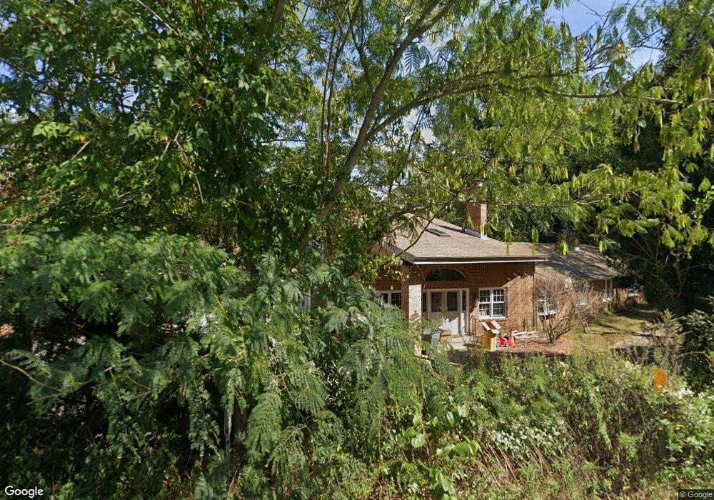
1613 Crownsville Rd Crownsville, MD 21032
Estimated Value: $801,000 - $1,280,000
--
Bed
4
Baths
5,788
Sq Ft
$185/Sq Ft
Est. Value
About This Home
This home is located at 1613 Crownsville Rd, Crownsville, MD 21032 and is currently estimated at $1,071,358, approximately $185 per square foot. 1613 Crownsville Rd is a home located in Anne Arundel County with nearby schools including South Shore Elementary School, Old Mill High School, and Indian Creek School.
Ownership History
Date
Name
Owned For
Owner Type
Purchase Details
Closed on
May 24, 2018
Sold by
Silbert Jeffrey S
Bought by
Silbert Jeffrey S and Silbert Wichawon Vanadit
Current Estimated Value
Home Financials for this Owner
Home Financials are based on the most recent Mortgage that was taken out on this home.
Original Mortgage
$320,000
Outstanding Balance
$233,579
Interest Rate
4.4%
Mortgage Type
Credit Line Revolving
Estimated Equity
$837,779
Purchase Details
Closed on
Oct 5, 2000
Sold by
Silbert Craig S
Bought by
Silbert Jeffrey S
Create a Home Valuation Report for This Property
The Home Valuation Report is an in-depth analysis detailing your home's value as well as a comparison with similar homes in the area
Home Values in the Area
Average Home Value in this Area
Purchase History
| Date | Buyer | Sale Price | Title Company |
|---|---|---|---|
| Silbert Jeffrey S | -- | Freestate Title Services Of | |
| Silbert Jeffrey S | -- | -- |
Source: Public Records
Mortgage History
| Date | Status | Borrower | Loan Amount |
|---|---|---|---|
| Open | Silbert Jeffrey S | $320,000 |
Source: Public Records
Tax History Compared to Growth
Tax History
| Year | Tax Paid | Tax Assessment Tax Assessment Total Assessment is a certain percentage of the fair market value that is determined by local assessors to be the total taxable value of land and additions on the property. | Land | Improvement |
|---|---|---|---|---|
| 2025 | $8,849 | $967,433 | -- | -- |
| 2024 | $8,849 | $891,067 | $0 | $0 |
| 2023 | $8,302 | $814,700 | $214,500 | $600,200 |
| 2022 | $7,722 | $802,267 | $0 | $0 |
| 2021 | $15,153 | $789,833 | $0 | $0 |
| 2020 | $7,266 | $777,400 | $209,500 | $567,900 |
| 2019 | $119 | $777,400 | $209,500 | $567,900 |
| 2018 | $7,883 | $777,400 | $209,500 | $567,900 |
| 2017 | $6,211 | $813,300 | $0 | $0 |
| 2016 | -- | $741,267 | $0 | $0 |
| 2015 | -- | $669,267 | $0 | $0 |
| 2014 | -- | $597,200 | $0 | $0 |
Source: Public Records
Map
Nearby Homes
- 0 Generals Hwy
- 1603 Upton Scott Way
- 1634 Old Generals Hwy
- 1496 River Rd
- 934 Chesterfield Rd
- 1101 Opaca Ct
- 1907 Mackiebeth Ct
- 1909 Eleanor Ct
- 1002 Covington Way
- 1500 Cheltenham Ct E
- 1404 Cotton Ct
- 551 Defense Hwy
- 1676 Saint Albans Square
- 1458 Wilderness Ridge Trail
- 1809 Labrott Ln
- 602 Wayward Dr
- 975 Diggs Rd
- 0 Yew Trail Unit MDAA2121932
- 1909 Marconi Cir
- 938 Diggs Rd
- 1612 Crownsville Rd
- 1606 Crownsville Rd
- 1615 Crownsville Rd
- 1609 Crownsville Rd
- 1604 Crownsville Rd
- 1630 Crownsville Rd
- 1644 Crownsville Rd
- 1650 Crownsville Rd
- 1672 Crownsville Rd
- 1672 Crownsville Rd Unit A
- 1672 Crownsville Rd Unit B
- 1620 Crownsville Rd
- 1589 Crownsville Rd
- 1583 Crownsville Rd
- 1616 Crownsville Rd
- 1588 Crownsville Rd
- 1584 Crownsville Rd
- 1600 Hawkins Rd
- 1591 Crownsville Rd
- 1610 Hawkins Rd