Estimated Value: $219,237 - $242,000
1
Bed
2
Baths
768
Sq Ft
$297/Sq Ft
Est. Value
About This Home
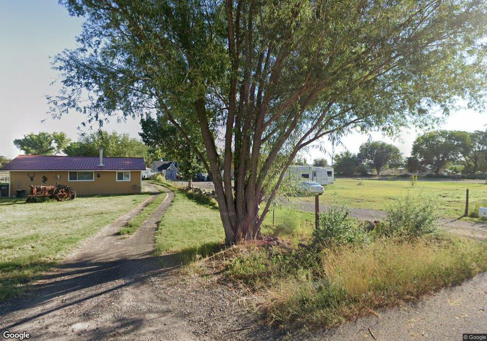
This home is located at 1613 H 38 Rd, Delta, CO 81416 and is currently estimated at $228,309, approximately $297 per square foot. 1613 H 38 Rd is a home located in Delta County with nearby schools including Garnet Mesa Elementary School, Lincoln Elementary School, and Delta Middle School.
Ownership History
Date
Name
Owned For
Owner Type
Purchase Details
Closed on
Jun 21, 2021
Sold by
Black Jim and Black Sharon
Bought by
Easter Matthew and Castor Trystynn
Current Estimated Value
Home Financials for this Owner
Home Financials are based on the most recent Mortgage that was taken out on this home.
Original Mortgage
$164,900
Outstanding Balance
$149,296
Interest Rate
2.9%
Mortgage Type
New Conventional
Estimated Equity
$79,013
Purchase Details
Closed on
Sep 15, 2017
Sold by
Atchley Shane A and Atchley Pamela D
Bought by
Black Jim and Black Sharon
Purchase Details
Closed on
Mar 27, 2015
Sold by
Greenhalgh Mike and Greenhalgh Maureen N
Bought by
Atchley Shane A and Atchley Pamela S
Purchase Details
Closed on
Sep 19, 2002
Sold by
Elliott Janis L
Bought by
Black Jim and Greenhaigh Michael
Create a Home Valuation Report for This Property
The Home Valuation Report is an in-depth analysis detailing your home's value as well as a comparison with similar homes in the area
Purchase History
| Date | Buyer | Sale Price | Title Company |
|---|---|---|---|
| Easter Matthew | $170,000 | Land Title Guarantee | |
| Black Jim | $35,000 | Land Title Guarantee Co | |
| Atchley Shane A | $20,000 | Land Title Guarantee Company | |
| Black Jim | $139,500 | -- |
Source: Public Records
Mortgage History
| Date | Status | Borrower | Loan Amount |
|---|---|---|---|
| Open | Easter Matthew | $164,900 |
Source: Public Records
Tax History
| Year | Tax Paid | Tax Assessment Tax Assessment Total Assessment is a certain percentage of the fair market value that is determined by local assessors to be the total taxable value of land and additions on the property. | Land | Improvement |
|---|---|---|---|---|
| 2023 | $616 | $9,563 | $3,144 | $6,419 |
| 2022 | $794 | $12,689 | $3,823 | $8,866 |
| 2021 | $802 | $13,054 | $3,933 | $9,121 |
| 2020 | $592 | $9,496 | $2,860 | $6,636 |
| 2019 | $586 | $9,496 | $2,860 | $6,636 |
| 2018 | $584 | $9,135 | $9,135 | $0 |
| 2017 | $568 | $9,135 | $9,135 | $0 |
| 2016 | $544 | $9,614 | $9,614 | $0 |
| 2014 | -- | $10,440 | $10,440 | $0 |
Source: Public Records
Map
Nearby Homes
- Parcel 4 H75 Rd
- Parcel 5 H75 Rd
- 778 1575 Rd
- 701 U S 50
- 701 Highway 50
- 1532 U S 50
- 783 1550 Rd
- 676 Highway 50 Unit 44
- 65 Circle Dr
- 1520 Highway 92
- 167 Gunnison River Dr
- TBD 1500 Ct
- 114 Cedar St
- 15083 Silver Belle St
- 15069 Silver Belle St
- 1491 Highway 50 Unit 64
- 188 Bert St
- 216 Meeker St
- TBD 3rd Common
- 309 E 3rd St
Your Personal Tour Guide
Ask me questions while you tour the home.