16130 S Highway 71 West Fork, AR 72774
Estimated Value: $230,267 - $279,000
--
Bed
2
Baths
1,862
Sq Ft
$138/Sq Ft
Est. Value
About This Home
This home is located at 16130 S Highway 71, West Fork, AR 72774 and is currently estimated at $256,567, approximately $137 per square foot. 16130 S Highway 71 is a home located in Washington County with nearby schools including West Fork Elementary School, West Fork Middle School, and West Fork High School.
Ownership History
Date
Name
Owned For
Owner Type
Purchase Details
Closed on
Dec 27, 2005
Sold by
Blankenship George Thomas and Blankenship Grace Ann
Bought by
Blankenship George T and Blankenship Reba D
Current Estimated Value
Home Financials for this Owner
Home Financials are based on the most recent Mortgage that was taken out on this home.
Original Mortgage
$160,000
Outstanding Balance
$105,744
Interest Rate
9.55%
Mortgage Type
Fannie Mae Freddie Mac
Estimated Equity
$150,823
Purchase Details
Closed on
Apr 26, 1991
Bought by
Blankenship George and Blankenship Grace
Create a Home Valuation Report for This Property
The Home Valuation Report is an in-depth analysis detailing your home's value as well as a comparison with similar homes in the area
Home Values in the Area
Average Home Value in this Area
Purchase History
| Date | Buyer | Sale Price | Title Company |
|---|---|---|---|
| Blankenship George T | -- | Elite Title Company Inc | |
| Blankenship George | $70,000 | -- |
Source: Public Records
Mortgage History
| Date | Status | Borrower | Loan Amount |
|---|---|---|---|
| Open | Blankenship George T | $160,000 |
Source: Public Records
Tax History Compared to Growth
Tax History
| Year | Tax Paid | Tax Assessment Tax Assessment Total Assessment is a certain percentage of the fair market value that is determined by local assessors to be the total taxable value of land and additions on the property. | Land | Improvement |
|---|---|---|---|---|
| 2025 | $529 | $42,890 | $9,050 | $33,840 |
| 2024 | $629 | $42,890 | $9,050 | $33,840 |
| 2023 | $877 | $42,890 | $9,050 | $33,840 |
| 2022 | $915 | $33,090 | $6,890 | $26,200 |
| 2021 | $862 | $33,090 | $6,890 | $26,200 |
| 2020 | $808 | $33,090 | $6,890 | $26,200 |
| 2019 | $742 | $22,190 | $3,740 | $18,450 |
| 2018 | $767 | $22,190 | $3,740 | $18,450 |
| 2017 | $684 | $22,190 | $3,740 | $18,450 |
| 2016 | $734 | $22,190 | $3,740 | $18,450 |
| 2015 | $680 | $22,190 | $3,740 | $18,450 |
| 2014 | $610 | $20,610 | $3,540 | $17,070 |
Source: Public Records
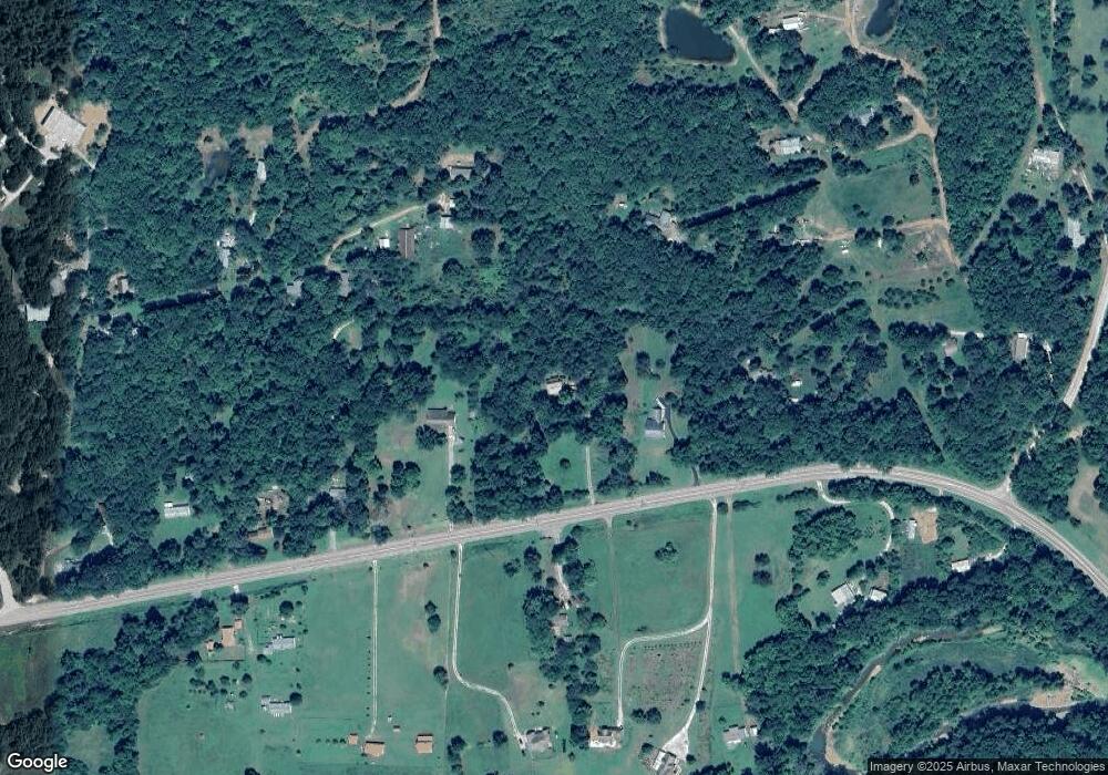
Map
Nearby Homes
- 13829 French Rd
- 14416 & 14425 Truelove Rd
- TBD Truelove Rd
- 14642 Truelove Rd
- 16925 Carpenter Rd
- 14211 Sugar Mountain Rd
- 16618 S Highway 71
- 16712 S Highway 71
- 13590 Sugar Mountain Rd
- 16801 S Highway 71
- TBD Brentwood Mountain Rd
- 13608 Sugar Mountain Rd
- 15731 Parker Branch Rd
- 15558 S Highway 71
- 15459 Whitehouse Rd
- 14161 Low Gap Rd
- 163 Acres Low Gap Rd
- 14710 Summer Shade Rd
- 15500 Low Gap Rd
- 18708 S Highway 71
- 16134 S Highway 71
- 16134 U S 71
- 16120 S Highway 71
- 16138 S Highway 71
- 16028 Gateway Rd
- 16129 Hwy 71 S Tract B
- 16000 Gateway Rd
- 16129 S Highway 71
- 15996 Gateway Rd
- 16106 S Highway 71
- 16137 U S Highway 71
- 16012 Gateway Rd
- 16145 S Highway 71
- 16080 S Highway 71
- 16133 S Highway 71
- 16086 S Highway 71
- 16123 S Highway 71
- 16139 S Highway 71
- 16135 S Highway 71
- 15987 Truelove Rd