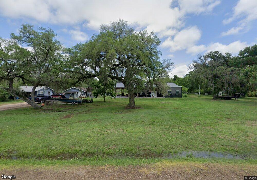
16134 County Road 489 Brazoria, TX 77422
Estimated Value: $288,000 - $537,000
--
Bed
1
Bath
3,275
Sq Ft
$117/Sq Ft
Est. Value
About This Home
This home is located at 16134 County Road 489, Brazoria, TX 77422 and is currently estimated at $384,576, approximately $117 per square foot. 16134 County Road 489 is a home located in Brazoria County with nearby schools including Sweeny Elementary School, Sweeny Junior High School, and Sweeny High School.
Ownership History
Date
Name
Owned For
Owner Type
Purchase Details
Closed on
Apr 3, 2003
Sold by
Cross Hershel and Cross Ladonna
Bought by
Means Monroe L and Means Shannon
Current Estimated Value
Home Financials for this Owner
Home Financials are based on the most recent Mortgage that was taken out on this home.
Original Mortgage
$39,922
Outstanding Balance
$17,100
Interest Rate
5.71%
Estimated Equity
$367,476
Create a Home Valuation Report for This Property
The Home Valuation Report is an in-depth analysis detailing your home's value as well as a comparison with similar homes in the area
Home Values in the Area
Average Home Value in this Area
Purchase History
| Date | Buyer | Sale Price | Title Company |
|---|---|---|---|
| Means Monroe L | -- | Alamo Title 03 |
Source: Public Records
Mortgage History
| Date | Status | Borrower | Loan Amount |
|---|---|---|---|
| Open | Means Monroe L | $39,922 |
Source: Public Records
Tax History Compared to Growth
Tax History
| Year | Tax Paid | Tax Assessment Tax Assessment Total Assessment is a certain percentage of the fair market value that is determined by local assessors to be the total taxable value of land and additions on the property. | Land | Improvement |
|---|---|---|---|---|
| 2025 | $2,356 | $268,701 | $150,000 | $253,320 |
| 2023 | $2,356 | $124,185 | $130,000 | $172,130 |
| 2022 | $2,175 | $112,895 | $119,000 | $47,610 |
| 2021 | $2,158 | $135,070 | $102,000 | $33,070 |
| 2020 | $2,087 | $138,070 | $102,000 | $36,070 |
| 2019 | $1,979 | $84,820 | $48,000 | $36,820 |
| 2018 | $3,573 | $162,520 | $56,000 | $106,520 |
| 2017 | $3,269 | $150,980 | $52,000 | $98,980 |
| 2016 | $2,971 | $139,950 | $48,000 | $91,950 |
| 2015 | $1,892 | $116,530 | $40,000 | $76,530 |
| 2014 | $1,892 | $116,130 | $40,000 | $76,130 |
Source: Public Records
Map
Nearby Homes
- 16227 County Road 489
- 17251 County Road 945d
- 5205 County Road 803
- 5431 County Road 506
- 4799 County Road 652
- 4261 County Road 506
- 4799 Cr 652
- 4701 County Road 747a
- 4 County Road 344
- 0 Cr-506 Unit 88472236
- 4306 County Road 244
- 3992 County Road 244
- 5463 County Road 961
- 0000 County Road 802
- 6018 County Road 802
- 5401 County Road 334 Unit 10
- 0 County Road 506 Unit 90697040
- 5096 Buck Rd
- 6853 Fite Ln Unit FM
- 10392 Fm 524 Rd
- 16134 County Road 489
- 16683 County Road 489
- 16442 County Road 489
- 16272 County Road 489
- 16692 County Road 489
- 16838 County Road 489
- 16945 County Road 489
- 17015 County Road 489
- 4151 County Road 244
- 3420 County Road 803
- 3390 County Road 489
- 17236 County Road 489
- 17283 County Road 489
- 17400 County Road 489
- 17433 County Road 489
- 17419 County Road 489
- 17419 County Road 489
- 4587 County Road 803
- 4587 County Road 803
- 17471 County Road 489