16134 Union Star Rd Winslow, AR 72959
Estimated Value: $374,417 - $566,000
--
Bed
3
Baths
2,160
Sq Ft
$222/Sq Ft
Est. Value
About This Home
This home is located at 16134 Union Star Rd, Winslow, AR 72959 and is currently estimated at $479,806, approximately $222 per square foot. 16134 Union Star Rd is a home located in Washington County with nearby schools including West Fork Elementary School, West Fork Middle School, and West Fork High School.
Ownership History
Date
Name
Owned For
Owner Type
Purchase Details
Closed on
Jun 26, 2019
Sold by
Matlock Leland S and Matlock Frances J
Bought by
Ward Jay Dean
Current Estimated Value
Home Financials for this Owner
Home Financials are based on the most recent Mortgage that was taken out on this home.
Original Mortgage
$38,000
Outstanding Balance
$24,539
Interest Rate
3.5%
Mortgage Type
Commercial
Estimated Equity
$455,267
Purchase Details
Closed on
Oct 27, 2006
Sold by
Matlock Leland and Matlock Frances J
Bought by
Rural Development Authority Of Wa Cnty
Purchase Details
Closed on
Jul 20, 1989
Bought by
Matlock Leland S and Matlock Frances J
Purchase Details
Closed on
Mar 3, 1986
Bought by
Hurt Randall R and Hurt Debra
Purchase Details
Closed on
Jan 1, 1985
Bought by
Demarco Theresa M
Create a Home Valuation Report for This Property
The Home Valuation Report is an in-depth analysis detailing your home's value as well as a comparison with similar homes in the area
Home Values in the Area
Average Home Value in this Area
Purchase History
| Date | Buyer | Sale Price | Title Company |
|---|---|---|---|
| Ward Jay Dean | $50,000 | Waco Title Company | |
| Rural Development Authority Of Wa Cnty | -- | None Available | |
| Matlock Leland S | $60,000 | -- | |
| Hurt Randall R | $55,000 | -- | |
| Demarco Theresa M | -- | -- |
Source: Public Records
Mortgage History
| Date | Status | Borrower | Loan Amount |
|---|---|---|---|
| Open | Ward Jay Dean | $38,000 |
Source: Public Records
Tax History Compared to Growth
Tax History
| Year | Tax Paid | Tax Assessment Tax Assessment Total Assessment is a certain percentage of the fair market value that is determined by local assessors to be the total taxable value of land and additions on the property. | Land | Improvement |
|---|---|---|---|---|
| 2025 | $981 | $63,450 | $4,640 | $58,810 |
| 2024 | $1,081 | $63,450 | $4,640 | $58,810 |
| 2023 | $1,162 | $63,450 | $4,640 | $58,810 |
| 2022 | $1,264 | $49,170 | $3,640 | $45,530 |
| 2021 | $1,264 | $49,170 | $3,640 | $45,530 |
| 2020 | $1,264 | $49,170 | $3,640 | $45,530 |
| 2019 | $1,264 | $36,290 | $2,250 | $34,040 |
| 2018 | $1,656 | $42,870 | $4,310 | $38,560 |
| 2017 | $1,495 | $42,870 | $4,310 | $38,560 |
| 2016 | $1,597 | $42,870 | $4,310 | $38,560 |
| 2015 | $1,497 | $42,870 | $4,310 | $38,560 |
| 2014 | $1,480 | $39,240 | $3,920 | $35,320 |
Source: Public Records
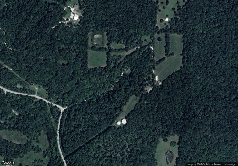
Map
Nearby Homes
- 17300 Bethlehem Rd
- TBD Wooten Rd Rd
- 14673 Union Star Rd
- 14516 Friendship Church Rd
- 15558 S Highway 71
- 17441 Winn Creek Rd
- 16891 Holcombe School Rd
- 16977 Holcombe School Rd
- 170 Arkansas 170
- 0000- Hwy 170 Devils Arkansas 170
- 696 E Thornstone Ave
- 260 Culp Trail
- 13582 S Highway 170
- 13653 W Mountain Rd
- 378 Hidden Creek Place
- 16186 Union Star Rd
- 16353 Union Star Rd
- 16347 Union Star Rd
- 16418 Union Star Rd
- 16020 Union Star Rd
- 16488 Union Star Rd
- 16002 Union Star Rd
- 16526 Union Star Rd
- 4 AC Union Star Rd
- 16971 Bethlehem Rd
- 240 AC Union Starr Rd
- 15684 Union Star Rd
- 16985 Bethlehem Rd
- 15812 Union Star Rd
- 16841 Bethlehem Rd
- 16948 Bethlehem Rd
- 16862 Bethlehem Rd
- 16884 Bethlehem Rd
- 16793 Bethlehem Rd
- 65