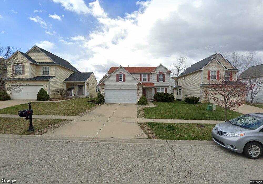
1614 Scio Ridge Rd Ann Arbor, MI 48103
Estimated Value: $485,916 - $539,000
3
Beds
4
Baths
2,041
Sq Ft
$256/Sq Ft
Est. Value
About This Home
This home is located at 1614 Scio Ridge Rd, Ann Arbor, MI 48103 and is currently estimated at $523,479, approximately $256 per square foot. 1614 Scio Ridge Rd is a home located in Washtenaw County with nearby schools including Dicken Elementary School, Slauson Middle School, and Pioneer High School.
Ownership History
Date
Name
Owned For
Owner Type
Purchase Details
Closed on
Dec 20, 2016
Sold by
Beata Edline and Beata Edline Teresa
Bought by
Fang Xiuhong
Current Estimated Value
Home Financials for this Owner
Home Financials are based on the most recent Mortgage that was taken out on this home.
Original Mortgage
$267,000
Outstanding Balance
$131,259
Interest Rate
4.08%
Mortgage Type
New Conventional
Estimated Equity
$392,220
Purchase Details
Closed on
Apr 3, 2014
Sold by
Edouard Edeline
Bought by
Edeline Beata and Edeline Beata Teresa
Create a Home Valuation Report for This Property
The Home Valuation Report is an in-depth analysis detailing your home's value as well as a comparison with similar homes in the area
Home Values in the Area
Average Home Value in this Area
Purchase History
| Date | Buyer | Sale Price | Title Company |
|---|---|---|---|
| Fang Xiuhong | $334,000 | None Available | |
| Edeline Beata | -- | None Available |
Source: Public Records
Mortgage History
| Date | Status | Borrower | Loan Amount |
|---|---|---|---|
| Open | Fang Xiuhong | $267,000 |
Source: Public Records
Tax History Compared to Growth
Tax History
| Year | Tax Paid | Tax Assessment Tax Assessment Total Assessment is a certain percentage of the fair market value that is determined by local assessors to be the total taxable value of land and additions on the property. | Land | Improvement |
|---|---|---|---|---|
| 2025 | -- | $221,100 | $0 | $0 |
| 2024 | $4,380 | $221,600 | $0 | $0 |
| 2023 | $4,208 | $174,600 | $0 | $0 |
| 2022 | $5,815 | $156,900 | $0 | $0 |
| 2021 | $5,526 | $153,800 | $0 | $0 |
| 2020 | $5,660 | $151,700 | $0 | $0 |
| 2019 | $5,223 | $145,100 | $145,100 | $0 |
| 2018 | $5,209 | $145,200 | $0 | $0 |
| 2017 | $5,106 | $144,700 | $0 | $0 |
| 2016 | $2,884 | $113,388 | $0 | $0 |
| 2015 | -- | $113,049 | $0 | $0 |
| 2014 | -- | $109,517 | $0 | $0 |
| 2013 | -- | $109,517 | $0 | $0 |
Source: Public Records
Map
Nearby Homes
- 1599 Scio Ridge Rd
- 1770 Harley Dr
- 2512 Jade Ct Unit 18
- 1740 S Maple Rd Unit 2
- 1929 Harley Dr
- 1419 N Bay Dr Unit 73
- 1366 N Bay Dr Unit 144
- 1860 Chicory Ridge
- 2126 Pauline Blvd Unit 104
- 1225 S Maple Rd Unit 307
- 1235 S Maple Rd Unit 202
- 2165 Pauline Ct Unit 14
- 2120 Pauline Blvd Unit 305
- 1265 S Maple Rd Unit 207
- 2147 Pauline Ct Unit 17
- 2104 Pauline Blvd Unit 305
- 2033 Pauline Ct
- 1021 Bluestem Ln Unit 29
- 813 E Summerfield Glen Cir
- 1720 Avondale Ave
- 1620 Scio Ridge Rd
- 1608 Scio Ridge Rd
- 1615 Abigail Way
- 1602 Scio Ridge Rd
- 1632 Scio Ridge Rd
- 1621 Abigail Way
- 1627 Abigail Way
- 1596 Scio Ridge Rd
- 1644 Scio Ridge Rd
- 1617 Scio Ridge Rd
- 1611 Scio Ridge Rd
- 1603 Abigail Way
- 1623 Scio Ridge Rd
- 1633 Abigail Way
- 1590 Scio Ridge Rd
- 1652 Scio Ridge Rd
- 1629 Scio Ridge Rd
- 1597 Abigail Way
- 1635 Scio Ridge Rd
- 1662 Scio Ridge Rd