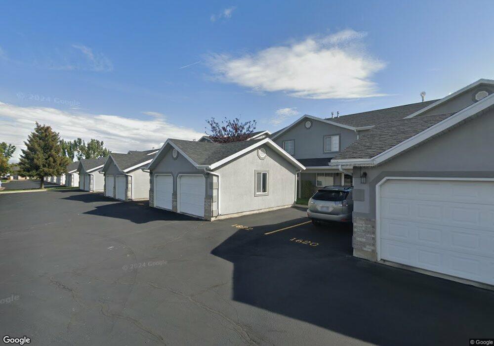
1614 Talon Dr Logan, UT 84321
Woodruff NeighborhoodEstimated Value: $252,000 - $262,341
2
Beds
2
Baths
1,220
Sq Ft
$210/Sq Ft
Est. Value
About This Home
This home is located at 1614 Talon Dr, Logan, UT 84321 and is currently estimated at $256,085, approximately $209 per square foot. 1614 Talon Dr is a home located in Cache County with nearby schools including Hillcrest Elementary School, Mount Logan Middle School, and Logan High School.
Ownership History
Date
Name
Owned For
Owner Type
Purchase Details
Closed on
Nov 17, 2010
Sold by
Black Loretta K
Bought by
Black Loretta Keller and The Loretta Keller Black Family Revocabl
Current Estimated Value
Purchase Details
Closed on
Nov 12, 2010
Sold by
The Secretary Of Housing & Urban Develop
Bought by
Black Loretta K
Purchase Details
Closed on
May 28, 2010
Sold by
Fairbanks Michael J and Fairbanks Rebecca
Bought by
The Secretary Of Housing & Urban Develop
Purchase Details
Closed on
Mar 27, 2007
Sold by
Maughan Brandy
Bought by
Fairbanks Michael J and Fairbanks Rebecca
Home Financials for this Owner
Home Financials are based on the most recent Mortgage that was taken out on this home.
Original Mortgage
$87,716
Interest Rate
6.29%
Mortgage Type
FHA
Purchase Details
Closed on
Apr 23, 2002
Sold by
Nish Paulette
Bought by
Maughan Brandy
Home Financials for this Owner
Home Financials are based on the most recent Mortgage that was taken out on this home.
Original Mortgage
$70,370
Interest Rate
7.08%
Mortgage Type
FHA
Create a Home Valuation Report for This Property
The Home Valuation Report is an in-depth analysis detailing your home's value as well as a comparison with similar homes in the area
Home Values in the Area
Average Home Value in this Area
Purchase History
| Date | Buyer | Sale Price | Title Company |
|---|---|---|---|
| Black Loretta Keller | -- | American Secure Title Logan | |
| Black Loretta K | -- | Monument Title Insurance Inc | |
| The Secretary Of Housing & Urban Develop | -- | Lincoln Title Ins Agency | |
| The Secretary Of Housing & Urban Develop | -- | Lincoln Title Ins Agency | |
| Fairbanks Michael J | -- | American Secure Title | |
| Maughan Brandy | -- | American Secure Title |
Source: Public Records
Mortgage History
| Date | Status | Borrower | Loan Amount |
|---|---|---|---|
| Previous Owner | Fairbanks Michael J | $87,716 | |
| Previous Owner | Maughan Brandy | $70,370 |
Source: Public Records
Tax History Compared to Growth
Tax History
| Year | Tax Paid | Tax Assessment Tax Assessment Total Assessment is a certain percentage of the fair market value that is determined by local assessors to be the total taxable value of land and additions on the property. | Land | Improvement |
|---|---|---|---|---|
| 2024 | $1,117 | $139,920 | $0 | $0 |
| 2023 | $1,232 | $147,180 | $0 | $0 |
| 2022 | $1,357 | $151,250 | $0 | $0 |
| 2021 | $1,155 | $198,890 | $50,000 | $148,890 |
| 2020 | $997 | $154,600 | $30,000 | $124,600 |
| 2019 | $925 | $137,272 | $30,000 | $107,272 |
| 2018 | $910 | $123,280 | $30,000 | $93,280 |
| 2017 | $805 | $57,640 | $0 | $0 |
| 2016 | $835 | $47,685 | $0 | $0 |
| 2015 | $692 | $47,745 | $0 | $0 |
| 2014 | $626 | $47,745 | $0 | $0 |
| 2013 | -- | $47,745 | $0 | $0 |
Source: Public Records
Map
Nearby Homes
- 1564 Talon Dr
- 1506 Talon Dr
- 162 W 1275 S Unit 162
- 130 W 1260 S
- 475 W 60 S Unit L304
- 475 W 60 S Unit 303
- 473 W 40 S Unit 204
- 460 W 15 S Unit G301
- 460 W 15 S Unit G202
- 460 W 15 S Unit G201
- 462 W 40 S Unit 202
- 439 Meadow Ln
- 427 W 65 S
- 426 W 15 S
- 287 S 375 W
- 600 W 300 S
- 273 W 1010 S
- 265 W 1010 S
- 233 W 1010 S
- 874 Riverwood Dr