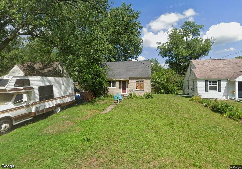
1614 Upland Dr Kalamazoo, MI 49048
Estimated Value: $159,000 - $182,000
3
Beds
1
Bath
1,276
Sq Ft
$132/Sq Ft
Est. Value
About This Home
This home is located at 1614 Upland Dr, Kalamazoo, MI 49048 and is currently estimated at $168,173, approximately $131 per square foot. 1614 Upland Dr is a home located in Kalamazoo County with nearby schools including Northeastern Elementary School, Linden Grove Middle School, and Kalamazoo Central High School.
Ownership History
Date
Name
Owned For
Owner Type
Purchase Details
Closed on
Aug 2, 2018
Sold by
Barker Joseph Stanley
Bought by
Robar Properties Llc
Current Estimated Value
Home Financials for this Owner
Home Financials are based on the most recent Mortgage that was taken out on this home.
Original Mortgage
$40,000
Outstanding Balance
$34,593
Interest Rate
4.5%
Mortgage Type
Commercial
Estimated Equity
$133,580
Purchase Details
Closed on
Jan 1, 2017
Sold by
Barker Jodi Lin and Lesterhouse Jodi Lin
Bought by
Barker Joseph Stanley
Home Financials for this Owner
Home Financials are based on the most recent Mortgage that was taken out on this home.
Original Mortgage
$35,000
Interest Rate
4.08%
Mortgage Type
New Conventional
Create a Home Valuation Report for This Property
The Home Valuation Report is an in-depth analysis detailing your home's value as well as a comparison with similar homes in the area
Home Values in the Area
Average Home Value in this Area
Purchase History
| Date | Buyer | Sale Price | Title Company |
|---|---|---|---|
| Robar Properties Llc | $65,000 | Devon Title Co | |
| Barker Joseph Stanley | -- | Attorney |
Source: Public Records
Mortgage History
| Date | Status | Borrower | Loan Amount |
|---|---|---|---|
| Open | Robar Properties Llc | $40,000 | |
| Previous Owner | Barker Joseph Stanley | $35,000 |
Source: Public Records
Tax History
| Year | Tax Paid | Tax Assessment Tax Assessment Total Assessment is a certain percentage of the fair market value that is determined by local assessors to be the total taxable value of land and additions on the property. | Land | Improvement |
|---|---|---|---|---|
| 2025 | $528 | $79,000 | $0 | $0 |
| 2024 | $512 | $67,000 | $0 | $0 |
| 2023 | $489 | $59,400 | $0 | $0 |
| 2022 | $3,190 | $55,000 | $0 | $0 |
| 2021 | $3,016 | $47,900 | $0 | $0 |
| 2020 | $2,970 | $44,000 | $0 | $0 |
| 2019 | $2,864 | $40,600 | $0 | $0 |
| 2018 | $2,024 | $34,800 | $0 | $0 |
| 2017 | $0 | $34,800 | $0 | $0 |
| 2016 | -- | $31,200 | $0 | $0 |
| 2015 | -- | $28,200 | $0 | $0 |
| 2014 | -- | $27,100 | $0 | $0 |
Source: Public Records
Map
Nearby Homes
- 1734 Texel Dr
- 3011 E Main St
- 2716 Gull Rd
- 3519 Oak Tree Dr
- 1020 Avondale Cir
- 2117 Lakewood Dr
- 2407 Fairfield Ave
- 926 Washburn Ave
- 705 Dayton Ave
- 708 Gayle Ave
- 2516 Fairfield Ave
- 561 Arthur Ave
- 1308 Colgrove Ave
- 905 Cooper Ave
- 2120 E Main St
- 557 Ira Ave
- 546 Washburn Ave
- 1824 Humphrey St
- 3039 Casper St
- 601 Chicago Ave
Your Personal Tour Guide
Ask me questions while you tour the home.