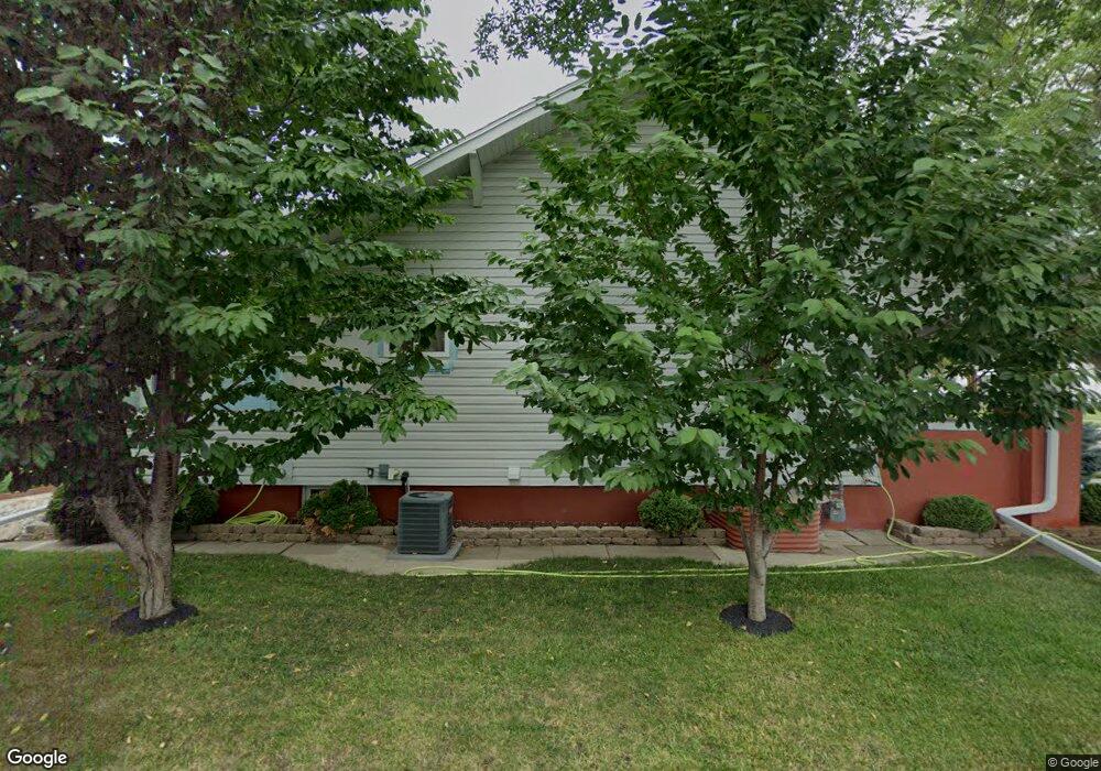
1614 W 5th St Hastings, NE 68901
Estimated Value: $176,000 - $200,244
3
Beds
2
Baths
1,254
Sq Ft
$148/Sq Ft
Est. Value
About This Home
This home is located at 1614 W 5th St, Hastings, NE 68901 and is currently estimated at $185,061, approximately $147 per square foot. 1614 W 5th St is a home located in Adams County with nearby schools including Hastings Senior High School, St. Michael's Preschool & Elementary School, and St. Cecilia High School.
Ownership History
Date
Name
Owned For
Owner Type
Purchase Details
Closed on
Aug 31, 2010
Sold by
Engelhardt Jon M
Bought by
Engelhardt Carmen L
Current Estimated Value
Purchase Details
Closed on
Jul 31, 2006
Sold by
Archity John P and Archity Diane M
Bought by
Engelhardt Jon M and Engelhardt Carmen L
Home Financials for this Owner
Home Financials are based on the most recent Mortgage that was taken out on this home.
Original Mortgage
$67,920
Outstanding Balance
$40,556
Interest Rate
6.66%
Mortgage Type
New Conventional
Estimated Equity
$144,505
Create a Home Valuation Report for This Property
The Home Valuation Report is an in-depth analysis detailing your home's value as well as a comparison with similar homes in the area
Home Values in the Area
Average Home Value in this Area
Purchase History
| Date | Buyer | Sale Price | Title Company |
|---|---|---|---|
| Engelhardt Carmen L | -- | None Available | |
| Engelhardt Jon M | $85,000 | None Available |
Source: Public Records
Mortgage History
| Date | Status | Borrower | Loan Amount |
|---|---|---|---|
| Open | Engelhardt Jon M | $67,920 |
Source: Public Records
Tax History Compared to Growth
Tax History
| Year | Tax Paid | Tax Assessment Tax Assessment Total Assessment is a certain percentage of the fair market value that is determined by local assessors to be the total taxable value of land and additions on the property. | Land | Improvement |
|---|---|---|---|---|
| 2024 | $2,638 | $163,331 | $17,188 | $146,143 |
| 2023 | $2,990 | $144,913 | $17,188 | $127,725 |
| 2022 | $2,492 | $110,616 | $17,188 | $93,428 |
| 2021 | $2,199 | $100,257 | $13,750 | $86,507 |
| 2020 | $2,073 | $96,138 | $13,750 | $82,388 |
| 2019 | $1,967 | $92,215 | $13,750 | $78,465 |
| 2018 | $1,824 | $85,030 | $6,565 | $78,465 |
| 2017 | $1,822 | $85,030 | $0 | $0 |
| 2016 | $1,685 | $78,550 | $6,565 | $71,985 |
| 2011 | -- | $0 | $0 | $0 |
Source: Public Records
Map
Nearby Homes
- 1615 W 7th St
- 1733 W 5th St
- 514 Oswego Ave
- 313 Jefferson Ave
- 1801 W 7th St
- 1734 W 2nd St
- 714 N Baltimore Ave
- 1911 W 5th St
- 1619 Boyce St
- 1918 W 3rd St
- 619 N Briggs Ave
- 1814 Boyce St
- 904 N Washington Ave
- 711 Crane Ave
- 618 N Saunders Ave
- 310 N Saunders Ave
- 736 N Barnes Ave
- 727 N Williams Ave
- 1114-1116 W 6th St
- 1001 N Webster Ave