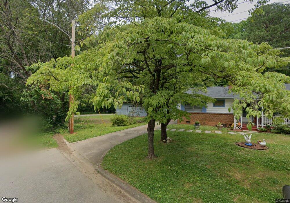
1615 Forrest St High Point, NC 27262
Greater High Point NeighborhoodEstimated Value: $180,000 - $216,000
2
Beds
2
Baths
1,386
Sq Ft
$145/Sq Ft
Est. Value
About This Home
This home is located at 1615 Forrest St, High Point, NC 27262 and is currently estimated at $201,000, approximately $145 per square foot. 1615 Forrest St is a home located in Guilford County with nearby schools including Oak View Elementary School, Welborn Academy of Science & Technology, and High Point Central High School.
Ownership History
Date
Name
Owned For
Owner Type
Purchase Details
Closed on
May 4, 2007
Sold by
Goldston J Grady and Goldston Josephine I
Bought by
Richardson Roger E and Richardson Kathy G
Current Estimated Value
Home Financials for this Owner
Home Financials are based on the most recent Mortgage that was taken out on this home.
Original Mortgage
$122,500
Interest Rate
6.1%
Mortgage Type
Purchase Money Mortgage
Create a Home Valuation Report for This Property
The Home Valuation Report is an in-depth analysis detailing your home's value as well as a comparison with similar homes in the area
Home Values in the Area
Average Home Value in this Area
Purchase History
| Date | Buyer | Sale Price | Title Company |
|---|---|---|---|
| Richardson Roger E | $122,500 | None Available |
Source: Public Records
Mortgage History
| Date | Status | Borrower | Loan Amount |
|---|---|---|---|
| Closed | Richardson Roger E | $122,500 |
Source: Public Records
Tax History
| Year | Tax Paid | Tax Assessment Tax Assessment Total Assessment is a certain percentage of the fair market value that is determined by local assessors to be the total taxable value of land and additions on the property. | Land | Improvement |
|---|---|---|---|---|
| 2025 | $1,575 | $114,300 | $15,000 | $99,300 |
| 2024 | $1,575 | $114,300 | $15,000 | $99,300 |
| 2023 | $1,575 | $114,300 | $15,000 | $99,300 |
| 2022 | $1,541 | $114,300 | $15,000 | $99,300 |
| 2021 | $1,197 | $86,900 | $15,000 | $71,900 |
| 2020 | $1,197 | $86,900 | $15,000 | $71,900 |
| 2019 | $1,197 | $86,900 | $0 | $0 |
| 2018 | $1,192 | $86,900 | $0 | $0 |
| 2017 | $1,197 | $86,900 | $0 | $0 |
| 2016 | $1,188 | $84,700 | $0 | $0 |
| 2015 | $1,194 | $84,700 | $0 | $0 |
| 2014 | $1,215 | $84,700 | $0 | $0 |
Source: Public Records
Map
Nearby Homes
- 613 Woodridge Ln
- 1110 Forrest St
- 1108 Forrest St
- 1406 Chatham Dr
- 910 E Dayton Ave
- 420 Chester Woods Ct
- 1526 Ann Arbor Ct
- 801 E Lexington Ave
- 1700 N Hamilton St Unit F
- 1740 N Hamilton St Unit H
- 916 Forrest St
- 1602 Larkin St
- 1607 Larkin St
- 242 Northpoint Ave Unit C
- 1604 E Lexington Ave
- 1507 Larkin St
- 1818 Guyer St Unit C
- 1603 Seven Oaks Place
- 702 E Farriss Ave
- 1310 Madison St
Your Personal Tour Guide
Ask me questions while you tour the home.