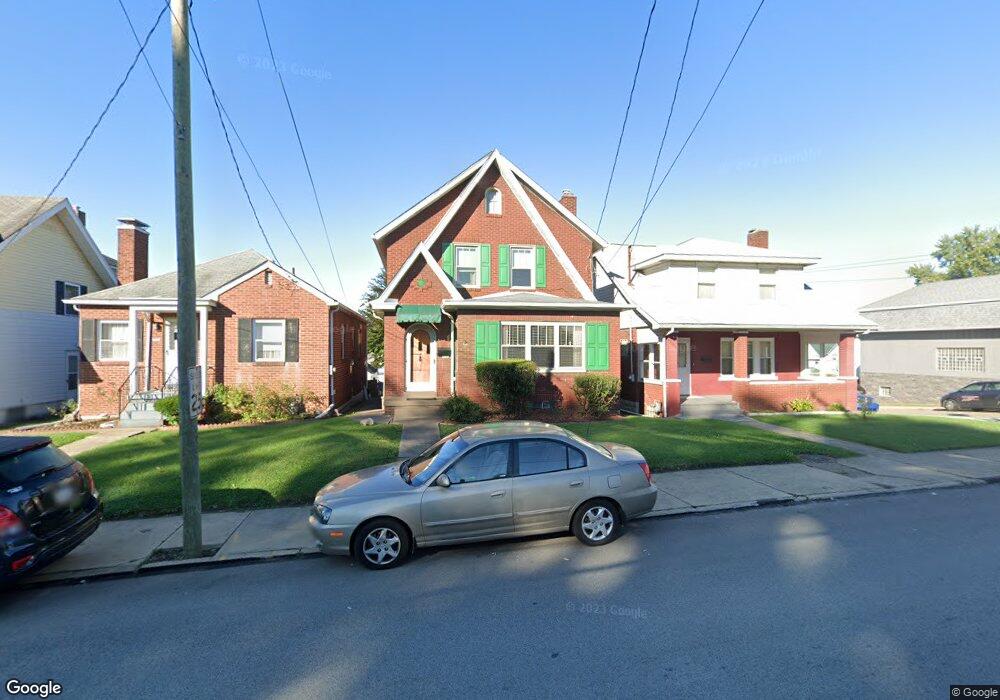
1615 Freeport Rd New Kensington, PA 15068
Estimated Value: $81,478 - $137,000
--
Bed
--
Bath
891
Sq Ft
$118/Sq Ft
Est. Value
About This Home
This home is located at 1615 Freeport Rd, New Kensington, PA 15068 and is currently estimated at $105,120, approximately $117 per square foot. 1615 Freeport Rd is a home located in Westmoreland County with nearby schools including Mary Queen of Apostles School.
Ownership History
Date
Name
Owned For
Owner Type
Purchase Details
Closed on
May 25, 2005
Sold by
Roney Dianna M
Bought by
Delverne Christopher M
Current Estimated Value
Home Financials for this Owner
Home Financials are based on the most recent Mortgage that was taken out on this home.
Original Mortgage
$60,000
Outstanding Balance
$31,485
Interest Rate
5.94%
Mortgage Type
Fannie Mae Freddie Mac
Estimated Equity
$73,635
Create a Home Valuation Report for This Property
The Home Valuation Report is an in-depth analysis detailing your home's value as well as a comparison with similar homes in the area
Home Values in the Area
Average Home Value in this Area
Purchase History
| Date | Buyer | Sale Price | Title Company |
|---|---|---|---|
| Delverne Christopher M | $75,000 | -- |
Source: Public Records
Mortgage History
| Date | Status | Borrower | Loan Amount |
|---|---|---|---|
| Open | Delverne Christopher M | $60,000 | |
| Closed | Delverne Christopher M | $11,250 |
Source: Public Records
Tax History Compared to Growth
Tax History
| Year | Tax Paid | Tax Assessment Tax Assessment Total Assessment is a certain percentage of the fair market value that is determined by local assessors to be the total taxable value of land and additions on the property. | Land | Improvement |
|---|---|---|---|---|
| 2025 | $1,518 | $8,870 | $2,180 | $6,690 |
| 2024 | $1,505 | $8,870 | $2,180 | $6,690 |
| 2023 | $1,429 | $8,870 | $2,180 | $6,690 |
| 2022 | $1,389 | $8,870 | $2,180 | $6,690 |
| 2021 | $1,359 | $8,870 | $2,180 | $6,690 |
| 2020 | $1,333 | $8,870 | $2,180 | $6,690 |
| 2019 | $1,328 | $8,870 | $2,180 | $6,690 |
| 2018 | $1,311 | $8,870 | $2,180 | $6,690 |
| 2017 | $1,311 | $8,870 | $2,180 | $6,690 |
| 2016 | $1,311 | $8,870 | $2,180 | $6,690 |
| 2015 | $1,311 | $8,870 | $2,180 | $6,690 |
| 2014 | $1,265 | $8,870 | $2,180 | $6,690 |
Source: Public Records
Map
Nearby Homes
- 1735 Kimball Ave
- 1717 Ridge Ave
- 1741 Freeport Rd Unit U
- 1400 Orchard Ave
- 1802 Kimball Ave
- 1809 Kimball Ave
- 1810 Ridge Ave
- 1038 Manor Rd
- 1802 Alcoa Dr
- 1520 Woodmont Ave
- 620 Ridge Ave
- 1627 Woodmont Ave
- 1407 Drey St Unit 29
- 1024 Knollwood Rd
- 1515 Woodmont Ave
- 1308 Taylor Ave
- 1506 Victoria Ave
- 1312 Woodmont Ave
- 1521 Victoria Ave
- 533 Freeport Rd
- 1613 Freeport Rd
- 1617 Freeport Rd
- 1611 Freeport Rd
- 1609 Freeport Rd
- 1607 Freeport Rd
- 1618 Kimball Ave
- 1620 Kimball Ave
- 1614 Kimball Ave Unit 1616
- 909 Freeport Rd
- 1612 Kimball Ave
- 807 Richmond St
- 1610 Kimball Ave
- 1700 Freeport Rd
- 905 Freeport Rd
- 1702 Kimball Ave
- 1608 Kimball Ave
- 1090 N Warren Ave
- 1708 Freeport Rd
- 1606 Kimball Ave
- 1704 Kimball Ave