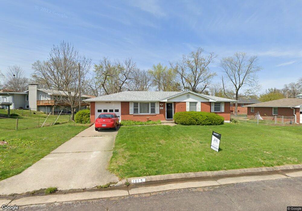
1615 Kathy Dr Unit 3 Columbia, MO 65202
Parkade NeighborhoodEstimated Value: $218,000 - $252,000
2
Beds
2
Baths
1,040
Sq Ft
$224/Sq Ft
Est. Value
About This Home
This home is located at 1615 Kathy Dr Unit 3, Columbia, MO 65202 and is currently estimated at $232,531, approximately $223 per square foot. 1615 Kathy Dr Unit 3 is a home located in Boone County with nearby schools including Parkade Elementary School, West Middle School, and David H. Hickman High School.
Ownership History
Date
Name
Owned For
Owner Type
Purchase Details
Closed on
Aug 16, 2024
Sold by
Birdsong Melissa
Bought by
Comber Andrew Michael and Regnerijita Erin Christine
Current Estimated Value
Home Financials for this Owner
Home Financials are based on the most recent Mortgage that was taken out on this home.
Original Mortgage
$188,000
Outstanding Balance
$185,905
Interest Rate
6.95%
Mortgage Type
New Conventional
Estimated Equity
$46,626
Purchase Details
Closed on
Mar 9, 2023
Sold by
Birdsong Melissa and Birdsong Melissa A
Bought by
Birdsong Melissa A and Birdsong Melissa
Purchase Details
Closed on
May 3, 2022
Sold by
Ann Wise Jo
Bought by
Birdsong Melissa
Home Financials for this Owner
Home Financials are based on the most recent Mortgage that was taken out on this home.
Original Mortgage
$75,000
Interest Rate
4.16%
Mortgage Type
New Conventional
Create a Home Valuation Report for This Property
The Home Valuation Report is an in-depth analysis detailing your home's value as well as a comparison with similar homes in the area
Home Values in the Area
Average Home Value in this Area
Purchase History
| Date | Buyer | Sale Price | Title Company |
|---|---|---|---|
| Comber Andrew Michael | -- | Boone Central Title | |
| Birdsong Melissa A | -- | None Listed On Document | |
| Birdsong Melissa A | -- | None Listed On Document | |
| Birdsong Melissa | -- | None Listed On Document |
Source: Public Records
Mortgage History
| Date | Status | Borrower | Loan Amount |
|---|---|---|---|
| Open | Comber Andrew Michael | $188,000 | |
| Previous Owner | Birdsong Melissa | $75,000 |
Source: Public Records
Tax History Compared to Growth
Tax History
| Year | Tax Paid | Tax Assessment Tax Assessment Total Assessment is a certain percentage of the fair market value that is determined by local assessors to be the total taxable value of land and additions on the property. | Land | Improvement |
|---|---|---|---|---|
| 2025 | $1,629 | $27,645 | $3,154 | $24,491 |
| 2024 | $1,629 | $24,149 | $3,154 | $20,995 |
| 2023 | $1,616 | $24,149 | $3,154 | $20,995 |
| 2022 | $1,495 | $22,363 | $3,154 | $19,209 |
| 2021 | $1,497 | $22,363 | $3,154 | $19,209 |
| 2020 | $1,475 | $20,704 | $3,154 | $17,550 |
| 2019 | $1,475 | $20,704 | $3,154 | $17,550 |
| 2018 | $1,376 | $0 | $0 | $0 |
| 2017 | $1,359 | $19,171 | $3,154 | $16,017 |
| 2016 | $1,395 | $19,171 | $3,154 | $16,017 |
| 2015 | $1,287 | $19,171 | $3,154 | $16,017 |
| 2014 | $1,294 | $19,171 | $3,154 | $16,017 |
Source: Public Records
Map
Nearby Homes
- 1912 N Creasy Springs Rd Unit A & B
- 1959 Jackson St
- 210 W Texas Ave
- 501 Parkade Blvd
- 2009 Winchester Dr
- 905 Remington Dr
- 200 Sondra Ave
- 701 703 & 707 Mikel Rd
- 1106 Jefferson St
- 506 Jackson St
- 709 Portsmouth Dr
- 2512 Emery Dr
- 105 W Sexton Rd
- 100 W Thurman St
- 403 W Worley St
- 407 Hardin St
- 809 King Ave
- 603 Pennant St
- 407 Auburn Ln
- 208 Whitetail Dr