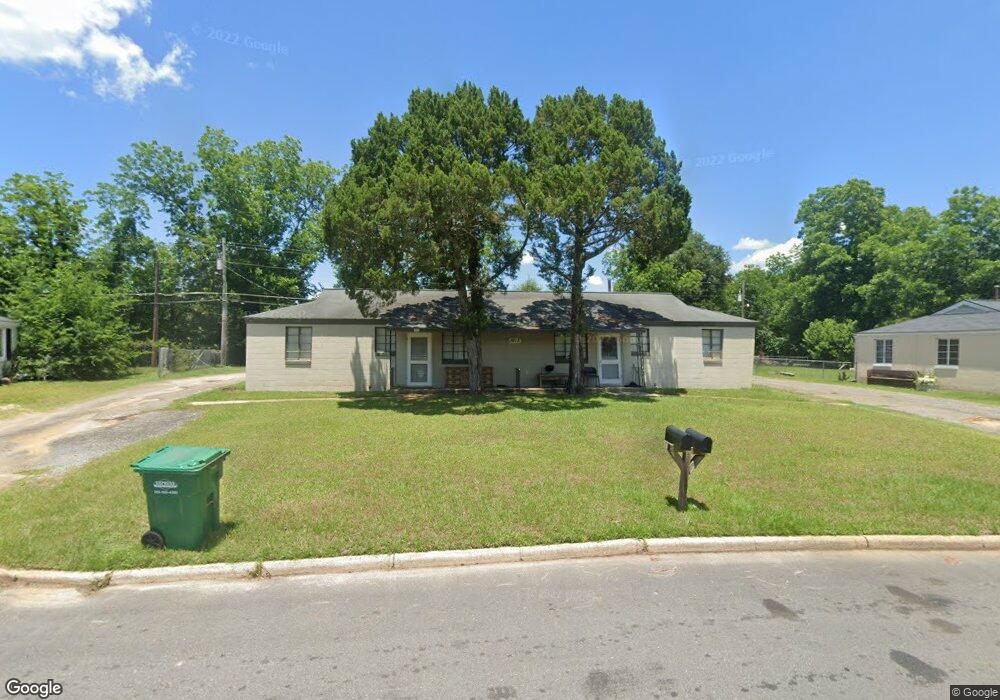
1615 Malone Dr Albany, GA 31705
Estimated Value: $59,000 - $76,000
4
Beds
2
Baths
1,776
Sq Ft
$38/Sq Ft
Est. Value
About This Home
This home is located at 1615 Malone Dr, Albany, GA 31705 and is currently estimated at $67,304, approximately $37 per square foot. 1615 Malone Dr is a home located in Dougherty County with nearby schools including Robert H. Harvey Elementary School, Albany Middle School, and Dougherty Comprehensive High School.
Ownership History
Date
Name
Owned For
Owner Type
Purchase Details
Closed on
Feb 1, 2008
Sold by
Anderson John L
Bought by
Ivey Jack William
Current Estimated Value
Home Financials for this Owner
Home Financials are based on the most recent Mortgage that was taken out on this home.
Original Mortgage
$33,122
Interest Rate
6.06%
Mortgage Type
New Conventional
Purchase Details
Closed on
Dec 14, 1977
Sold by
Zumwalt Ray and Zumwalt V
Bought by
Ivey Jack William
Create a Home Valuation Report for This Property
The Home Valuation Report is an in-depth analysis detailing your home's value as well as a comparison with similar homes in the area
Home Values in the Area
Average Home Value in this Area
Purchase History
| Date | Buyer | Sale Price | Title Company |
|---|---|---|---|
| Ivey Jack William | -- | -- | |
| Anderson John L | $32,500 | -- | |
| Ivey Jack William | -- | -- |
Source: Public Records
Mortgage History
| Date | Status | Borrower | Loan Amount |
|---|---|---|---|
| Closed | Anderson John L | $33,122 |
Source: Public Records
Tax History Compared to Growth
Tax History
| Year | Tax Paid | Tax Assessment Tax Assessment Total Assessment is a certain percentage of the fair market value that is determined by local assessors to be the total taxable value of land and additions on the property. | Land | Improvement |
|---|---|---|---|---|
| 2024 | $672 | $14,080 | $1,800 | $12,280 |
| 2023 | $656 | $14,080 | $1,800 | $12,280 |
| 2022 | $658 | $14,080 | $1,800 | $12,280 |
| 2021 | $610 | $14,080 | $1,800 | $12,280 |
| 2020 | $612 | $14,080 | $1,800 | $12,280 |
| 2019 | $614 | $14,080 | $1,800 | $12,280 |
| 2018 | $617 | $14,080 | $1,800 | $12,280 |
| 2017 | $575 | $14,080 | $1,800 | $12,280 |
| 2016 | $575 | $14,080 | $1,800 | $12,280 |
| 2015 | $576 | $14,080 | $1,800 | $12,280 |
| 2014 | $569 | $14,080 | $1,800 | $12,280 |
Source: Public Records
Map
Nearby Homes
- 1901 S Flintlock Dr
- 1978 S Riverview Cir
- 1980 S Riverview Cir
- 1982 S Riverview Cir
- 1604, 1606, 1607 Cromartie Beach Dr
- 2034 N Riverview Cir
- 1616 Cromartie Beach Dr
- 1618 Beverly Ave
- 1500 Evelyn Ave
- 1412 Westcliff Ct
- 1405 Westcliff Ct
- 1524 Grand Cypress Ln
- 1522 Grand Cypress Ln
- 1308 Congressional Ct
- 1302 Congressional Ct
- 1200 River Pointe Dr
- 1312 River Pointe Dr
- 1408 River Pointe Dr
- 1812 River Pointe Dr
- 1901 River Pointe Dr
- 1617 Malone Dr
- 1613 Malone Dr
- 1938 S Riverview Cir
- 1940 S Riverview Cir
- 1603 Worrell Ct
- 1934 S Riverview Cir
- 1942 S Riverview Cir
- 1611 Malone Dr
- 1932 S Riverview Cir
- 1612 Malone Dr
- 1614 Malone Dr
- 1944 S Riverview Cir
- 1610 Malone Dr
- 1935 S Riverview Cir
- 1937 S Riverview Cir
- 1930 S Riverview Cir
- 1616 Malone Dr
- 1939 S Riverview Cir
- 1946 S Riverview Cir
- 1609 Malone Dr