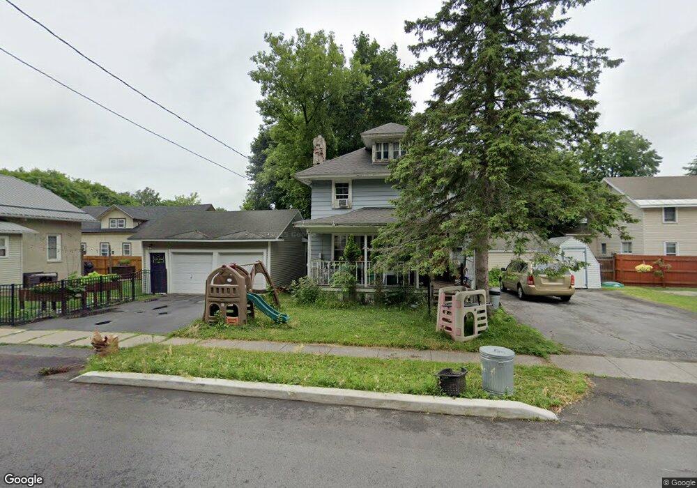
1615 Olmstead Dr Watertown, NY 13601
Estimated Value: $129,000 - $155,212
2
Beds
1
Bath
1,008
Sq Ft
$144/Sq Ft
Est. Value
About This Home
This home is located at 1615 Olmstead Dr, Watertown, NY 13601 and is currently estimated at $145,053, approximately $143 per square foot. 1615 Olmstead Dr is a home located in Jefferson County with nearby schools including Knickerbocker Elementary School, Case Middle School, and Harold T. Wiley School.
Ownership History
Date
Name
Owned For
Owner Type
Purchase Details
Closed on
Jun 19, 2009
Sold by
Parker Barry
Bought by
Sweet Philip
Current Estimated Value
Purchase Details
Closed on
Nov 19, 2008
Sold by
Crump Tonya
Bought by
Parker Barry
Purchase Details
Closed on
Nov 18, 2005
Sold by
Caughey Michael R
Bought by
Crump Tonya
Purchase Details
Closed on
Jun 15, 2000
Purchase Details
Closed on
Oct 13, 1999
Sold by
Fayette Susan J
Bought by
Fed Carthage
Purchase Details
Closed on
Dec 10, 1997
Purchase Details
Closed on
Aug 13, 1997
Create a Home Valuation Report for This Property
The Home Valuation Report is an in-depth analysis detailing your home's value as well as a comparison with similar homes in the area
Home Values in the Area
Average Home Value in this Area
Purchase History
| Date | Buyer | Sale Price | Title Company |
|---|---|---|---|
| Sweet Philip | $92,000 | -- | |
| Parker Barry | $86,400 | James Mcclusky | |
| Crump Tonya | $57,000 | -- | |
| -- | $35,000 | -- | |
| Fed Carthage | -- | -- | |
| -- | -- | -- | |
| -- | -- | -- |
Source: Public Records
Tax History Compared to Growth
Tax History
| Year | Tax Paid | Tax Assessment Tax Assessment Total Assessment is a certain percentage of the fair market value that is determined by local assessors to be the total taxable value of land and additions on the property. | Land | Improvement |
|---|---|---|---|---|
| 2024 | $1,307 | $86,400 | $7,300 | $79,100 |
| 2023 | $637 | $86,400 | $7,300 | $79,100 |
| 2022 | $697 | $86,400 | $7,300 | $79,100 |
| 2021 | $697 | $86,400 | $7,300 | $79,100 |
| 2020 | $2,001 | $86,400 | $7,300 | $79,100 |
| 2019 | $658 | $86,400 | $7,300 | $79,100 |
| 2018 | $757 | $86,400 | $7,300 | $79,100 |
| 2017 | $2,001 | $86,400 | $7,300 | $79,100 |
| 2016 | $2,001 | $86,400 | $7,300 | $79,100 |
| 2015 | -- | $86,400 | $7,300 | $79,100 |
| 2014 | -- | $86,400 | $7,300 | $79,100 |
Source: Public Records
Map
Nearby Homes
- 131 Girard Ave
- 1526 State St
- 134 N Pearl Ave
- 124 Monroe Ave
- 127 Wyoming Ave
- 207 Wyoming Ave
- 114 Michigan Ave
- 1230 Madison Ave
- 220 Wyoming Ave
- 1209 Boyd St
- 220 Monroe Ave
- 1214 Academy St
- 202 Michigan Ave
- 115 California Ave
- 1149 Temple St
- 1127 Academy St
- 211 S Pleasant St
- 1021 Boyd St
- 1200 Bronson St
- 1105 Salina St
- 128 Fairmont Ave
- 132 Fairmont Ave
- 135 S Pearl Ave
- 131 S Pearl Ave
- 124 Fairmont Ave
- 127 S Pearl Ave
- 120 Fairmont Ave
- 123 S Pearl Ave
- 119 S Pearl Ave
- 131 Fairmont Ave
- 127 Fairmont Ave
- 112 Fairmont Ave
- 136 S Pearl Ave
- 115 S Pearl Ave
- 128 S Pearl Ave
- 124 S Pearl Ave
- 120 S Pearl Ave
- 111 S Pearl Ave
- 108 Fairmont Ave
- 121 Fairmont Ave