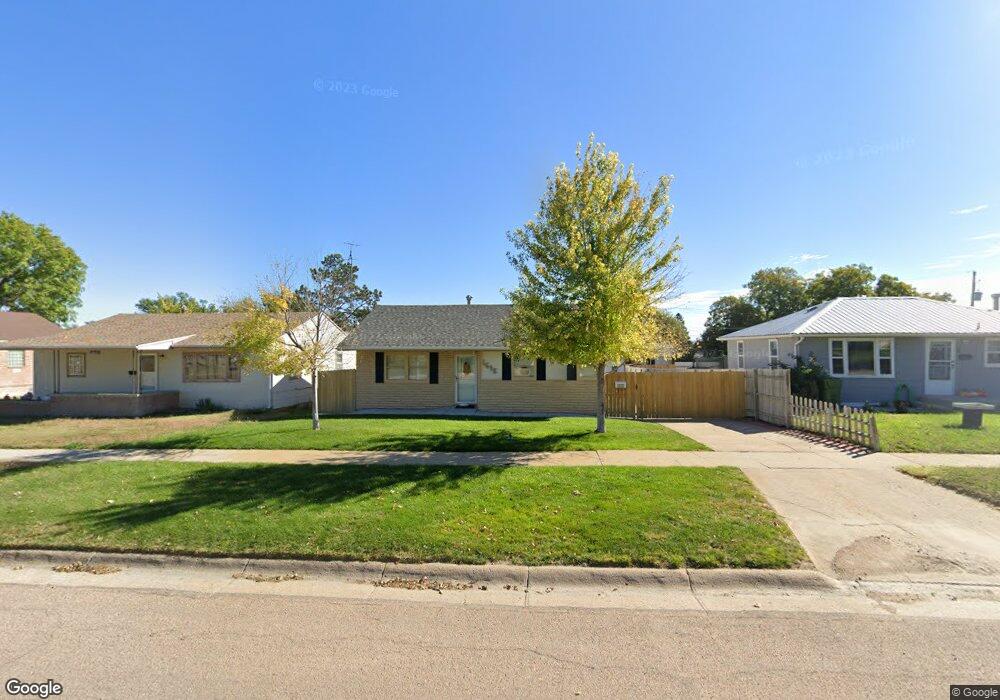
1615 W 3rd St Mc Cook, NE 69001
Estimated Value: $179,000 - $210,000
2
Beds
2
Baths
918
Sq Ft
$218/Sq Ft
Est. Value
About This Home
This home is located at 1615 W 3rd St, Mc Cook, NE 69001 and is currently estimated at $200,274, approximately $218 per square foot. 1615 W 3rd St is a home located in Red Willow County with nearby schools including McCook Elementary School, Central Elementary School, and McCook Junior High School.
Ownership History
Date
Name
Owned For
Owner Type
Purchase Details
Closed on
Feb 24, 2020
Sold by
Means Brian D and Means Roberta Patti
Bought by
Larington Dane Michael and Johnson Abby Mae
Current Estimated Value
Home Financials for this Owner
Home Financials are based on the most recent Mortgage that was taken out on this home.
Original Mortgage
$130,303
Outstanding Balance
$115,620
Interest Rate
3.6%
Mortgage Type
USDA
Estimated Equity
$84,654
Purchase Details
Closed on
Feb 11, 2015
Sold by
Poulsom Stephanie and Poulsom Lamon
Bought by
Means Brian D and Means Roberta Patti
Home Financials for this Owner
Home Financials are based on the most recent Mortgage that was taken out on this home.
Original Mortgage
$121,000
Interest Rate
3.92%
Mortgage Type
New Conventional
Create a Home Valuation Report for This Property
The Home Valuation Report is an in-depth analysis detailing your home's value as well as a comparison with similar homes in the area
Home Values in the Area
Average Home Value in this Area
Purchase History
| Date | Buyer | Sale Price | Title Company |
|---|---|---|---|
| Larington Dane Michael | $129,000 | Mccook Abstract Company | |
| Means Brian D | $121,000 | None Available |
Source: Public Records
Mortgage History
| Date | Status | Borrower | Loan Amount |
|---|---|---|---|
| Open | Larington Dane Michael | $130,303 | |
| Previous Owner | Means Brian D | $121,000 |
Source: Public Records
Tax History Compared to Growth
Tax History
| Year | Tax Paid | Tax Assessment Tax Assessment Total Assessment is a certain percentage of the fair market value that is determined by local assessors to be the total taxable value of land and additions on the property. | Land | Improvement |
|---|---|---|---|---|
| 2024 | $2,366 | $179,519 | $13,965 | $165,554 |
| 2023 | $2,706 | $164,332 | $13,965 | $150,367 |
| 2022 | $2,643 | $151,193 | $11,970 | $139,223 |
| 2021 | $2,491 | $136,704 | $11,970 | $124,734 |
| 2020 | $1,864 | $102,409 | $5,985 | $96,424 |
| 2019 | $1,851 | $102,409 | $5,985 | $96,424 |
| 2018 | $1,827 | $102,409 | $5,985 | $96,424 |
| 2017 | $1,771 | $102,409 | $5,985 | $96,424 |
| 2016 | $1,615 | $93,643 | $5,985 | $87,658 |
| 2015 | $1,572 | $93,643 | $5,985 | $87,658 |
| 2014 | $1,583 | $89,881 | $5,985 | $83,896 |
Source: Public Records
Map
Nearby Homes
- 0 Spruce Rd
- 0 Club House Dr
- 405 E 5th St
- 71763 Road 386
- 71653 Road 383
- Tbd Drive 388
- Indianol Unit a NE 69034
- 0 Indianola Grass Dryland and Acreage Unit 11587615
- 312 Tate Ave
- 424 N 6th St
- 33-3-32 Rd 369
- 102 W Decatur
- 0 Road 401
- 0 Tbd County Road 367
- 71437 Ridnour Dr
- 36311 Old Highway 34
- Unnamed Rd
- 0 Road 378
- 445 Palermo Ave
- 40798 U S 6