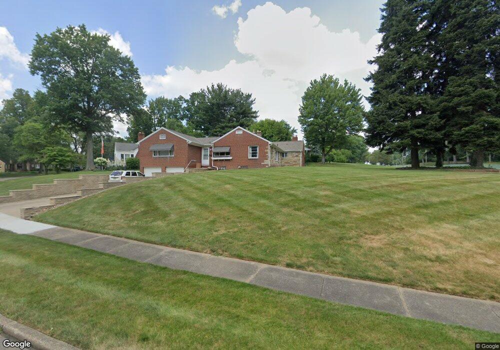
1615 Wales Rd NE Massillon, OH 44646
Amherst Heights-Clearview NeighborhoodEstimated Value: $245,388 - $290,000
3
Beds
3
Baths
1,943
Sq Ft
$138/Sq Ft
Est. Value
About This Home
This home is located at 1615 Wales Rd NE, Massillon, OH 44646 and is currently estimated at $268,597, approximately $138 per square foot. 1615 Wales Rd NE is a home located in Stark County with nearby schools including Massillon Intermediate School, Massillon Junior High School, and Washington High School.
Ownership History
Date
Name
Owned For
Owner Type
Purchase Details
Closed on
Jan 24, 2020
Sold by
Blankenhorn Glenn D and Blankenhorn Patricia L
Bought by
Thomas Catherine L
Current Estimated Value
Purchase Details
Closed on
Jan 21, 2020
Sold by
Thomas Catherine L
Bought by
Thomas John C and Thomas Catherine L
Purchase Details
Closed on
Mar 10, 2011
Sold by
James Michael P
Bought by
Blankenhorn Glenn D and Blankenhorn Patricia L
Home Financials for this Owner
Home Financials are based on the most recent Mortgage that was taken out on this home.
Original Mortgage
$95,445
Interest Rate
4.85%
Mortgage Type
FHA
Purchase Details
Closed on
May 1, 2002
Sold by
James Thomas L and James Thomas L
Bought by
James Thomas L and Thomas L James Revocable Living Trust
Create a Home Valuation Report for This Property
The Home Valuation Report is an in-depth analysis detailing your home's value as well as a comparison with similar homes in the area
Home Values in the Area
Average Home Value in this Area
Purchase History
| Date | Buyer | Sale Price | Title Company |
|---|---|---|---|
| Thomas Catherine L | $111,600 | None Available | |
| Thomas John C | -- | None Available | |
| Blankenhorn Glenn D | $105,000 | Attorney | |
| James Thomas L | -- | -- |
Source: Public Records
Mortgage History
| Date | Status | Borrower | Loan Amount |
|---|---|---|---|
| Previous Owner | Blankenhorn Glenn D | $95,445 |
Source: Public Records
Tax History Compared to Growth
Tax History
| Year | Tax Paid | Tax Assessment Tax Assessment Total Assessment is a certain percentage of the fair market value that is determined by local assessors to be the total taxable value of land and additions on the property. | Land | Improvement |
|---|---|---|---|---|
| 2025 | -- | $70,460 | $31,920 | $38,540 |
| 2024 | -- | $70,460 | $31,920 | $38,540 |
| 2023 | $3,296 | $64,470 | $25,200 | $39,270 |
| 2022 | $3,298 | $64,470 | $25,200 | $39,270 |
| 2021 | $3,352 | $64,470 | $25,200 | $39,270 |
| 2020 | $3,325 | $58,590 | $23,100 | $35,490 |
| 2019 | $3,279 | $58,590 | $23,100 | $35,490 |
| 2018 | $3,260 | $58,590 | $23,100 | $35,490 |
| 2017 | $3,243 | $54,440 | $20,730 | $33,710 |
| 2016 | $3,172 | $52,370 | $20,730 | $31,640 |
| 2015 | $3,135 | $52,370 | $20,730 | $31,640 |
| 2014 | $1,169 | $51,180 | $20,270 | $30,910 |
| 2013 | $1,590 | $51,180 | $20,270 | $30,910 |
Source: Public Records
Map
Nearby Homes
- 1717 Chittenden Cir NE
- 1209 Providence Rd NE
- 1659 Dexter Rd NE
- 1312 Lennox Ave NE
- 742 Sheffield Ave NE
- 932 Wales Rd NE
- 819 Irvington Ave NE
- 739 Vogel Ave NE
- 888 Seneca St NE
- 1635 Jolynn St NE
- 365 Hamilton Ave NE
- 1744 Oak Trail St NE
- 418 Korman Ave NE
- 811 Sandy Ave NE
- 906 17th St NE
- 1023 Roosevelt St NE
- 1204 Taggart St NW
- 1056 Taggart St NW
- 210 Mccadden Ave NE
- 1112 State Ave NE
- 1634 Coventry Rd NE
- 1625 Wales Rd NE
- 1615 Coventry Rd NE
- 1644 Coventry Rd NE
- 1623 Coventry Rd NE
- 1635 Wales Rd NE
- 1629 Coventry Rd NE
- 1624 Wales Rd NE
- 1633 Coventry Rd NE
- 1654 Coventry Rd NE
- 1600 Wales Rd NE
- 1639 Coventry Rd NE
- 1638 Wales Rd NE
- 1651 Coventry Rd NE
- 1507 Wales Rd NE
- 1670 Coventry Rd NE
- 1506 11th St NE
- 1308 Wales Rd NE
- 1308 Wales Rd NE
- 1604 11th St NE