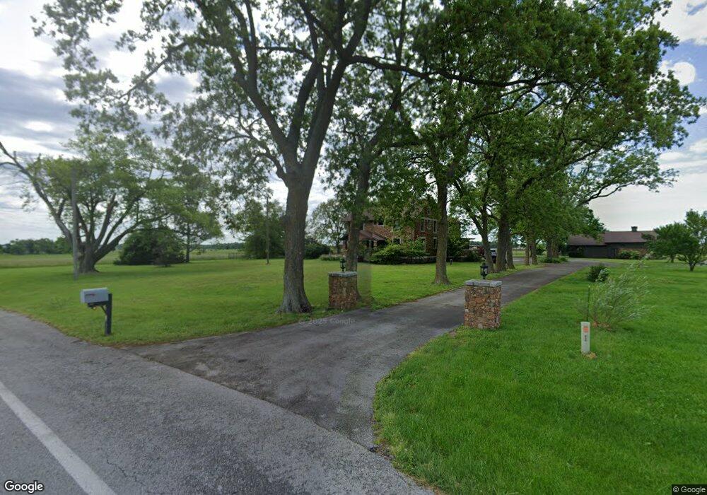
16150 Fir Rd Carthage, MO 64836
Estimated Value: $437,000
6
Beds
3
Baths
3,800
Sq Ft
$115/Sq Ft
Est. Value
About This Home
This home is located at 16150 Fir Rd, Carthage, MO 64836 and is currently estimated at $437,000, approximately $115 per square foot. 16150 Fir Rd is a home located in Jasper County with nearby schools including Carthage High School and St. Ann's Catholic School.
Ownership History
Date
Name
Owned For
Owner Type
Purchase Details
Closed on
Sep 14, 2017
Sold by
Grandanette Ross and Grandanette Lori
Bought by
Butcher Deborah
Current Estimated Value
Purchase Details
Closed on
Jun 25, 2010
Sold by
Huke Grady S and Huke Kristin L
Bought by
Grandanette Ross and Grandanette Lori
Purchase Details
Closed on
Mar 16, 2006
Sold by
Cafourek Ron and Cafourek Karen
Bought by
Huke Grady S and Huke Kristin L
Home Financials for this Owner
Home Financials are based on the most recent Mortgage that was taken out on this home.
Original Mortgage
$237,600
Interest Rate
6.19%
Mortgage Type
Fannie Mae Freddie Mac
Create a Home Valuation Report for This Property
The Home Valuation Report is an in-depth analysis detailing your home's value as well as a comparison with similar homes in the area
Home Values in the Area
Average Home Value in this Area
Purchase History
| Date | Buyer | Sale Price | Title Company |
|---|---|---|---|
| Butcher Deborah | -- | None Available | |
| Grandanette Ross | -- | Abbey | |
| Huke Grady S | -- | Abbey |
Source: Public Records
Mortgage History
| Date | Status | Borrower | Loan Amount |
|---|---|---|---|
| Previous Owner | Huke Grady S | $237,600 |
Source: Public Records
Tax History Compared to Growth
Tax History
| Year | Tax Paid | Tax Assessment Tax Assessment Total Assessment is a certain percentage of the fair market value that is determined by local assessors to be the total taxable value of land and additions on the property. | Land | Improvement |
|---|---|---|---|---|
| 2024 | $3,388 | $72,430 | $9,740 | $62,690 |
| 2023 | $3,388 | $72,430 | $9,740 | $62,690 |
| 2022 | $3,121 | $66,970 | $9,740 | $57,230 |
| 2021 | $3,084 | $66,970 | $9,740 | $57,230 |
| 2020 | $2,978 | $62,120 | $9,740 | $52,380 |
| 2019 | $2,984 | $62,120 | $9,740 | $52,380 |
| 2018 | $2,834 | $59,090 | $0 | $0 |
| 2017 | $2,202 | $45,770 | $0 | $0 |
| 2016 | $2,273 | $47,410 | $0 | $0 |
| 2015 | $2,083 | $47,410 | $0 | $0 |
| 2014 | $2,083 | $47,410 | $0 | $0 |
Source: Public Records
Map
Nearby Homes
- 16575 Fir Rd
- 16340 Elm Rd
- 3375 S Chapel Rd
- TBD S Chapel Rd
- Tbd W Fir Rd
- 1310 W Fir Rd
- SWC Fir Rd & I-49 Unit 1
- 2004 Lakeview St
- Tbd Corner of S Chapel &S Oak Hill
- 20+/- S Oak Hill Chapel Tract D
- 20+/- S Oak Hill Chapel
- 10+/- S Oak Hill Chapel Tract 2
- 10+/- S Oak Hill Chapel Tract 1
- 10+/- S Oak Hill Chapel Tract A
- 10+/- Acre S
- TBD Corner of S Chapel & S Oak Hil Rd
- 2038 W Trolley Car Ln
- SWC Fir Rd & I-49 Parcel 2
- 1704 Liam St
- 1373 W Fairview Ave
- Xxx Fir
- 16236 Fir Rd
- 16236 Fir Rd
- 16236 Fir Rd
- 16236 Fir Rd
- 16236 Fir Rd
- 16236 Fir Rd
- 16015 Fir Rd
- 340.97m/l Acres 5854 County Ln 164
- 220m/l Acres 5854 County Ln 164
- 640m/l Acres 5854 County Ln 164
- 15921 Fir Rd
- 16715 Fir Rd
- 16236 Fir Road 640 M L Acres Ln
- 15801 Fir Rd
- 15740 Fir Rd
- XXX County Lane 156
- 6174 County Lane 156
- XXX County Lane 156
- 16734 Fir Rd