16150 State Route 39 Loudonville, OH 44842
Estimated Value: $306,000 - $841,251
--
Bed
1
Bath
1,984
Sq Ft
$299/Sq Ft
Est. Value
About This Home
This home is located at 16150 State Route 39, Loudonville, OH 44842 and is currently estimated at $594,084, approximately $299 per square foot. 16150 State Route 39 is a home located in Holmes County with nearby schools including McMullen Elementary School, Budd Elementary School, and Loudonville High School.
Ownership History
Date
Name
Owned For
Owner Type
Purchase Details
Closed on
Sep 14, 2016
Sold by
Bender Farms Inc
Bought by
Brightbill & Gem Hill Farm Llc
Current Estimated Value
Purchase Details
Closed on
Jan 1, 1990
Bought by
Bender Farms Inc
Create a Home Valuation Report for This Property
The Home Valuation Report is an in-depth analysis detailing your home's value as well as a comparison with similar homes in the area
Home Values in the Area
Average Home Value in this Area
Purchase History
| Date | Buyer | Sale Price | Title Company |
|---|---|---|---|
| Brightbill & Gem Hill Farm Llc | $1,038,703 | Attorney | |
| Bender Farms Inc | -- | -- |
Source: Public Records
Tax History Compared to Growth
Tax History
| Year | Tax Paid | Tax Assessment Tax Assessment Total Assessment is a certain percentage of the fair market value that is determined by local assessors to be the total taxable value of land and additions on the property. | Land | Improvement |
|---|---|---|---|---|
| 2024 | $3,711 | $262,680 | $238,770 | $23,910 |
| 2023 | $3,711 | $262,680 | $238,770 | $23,910 |
| 2022 | $3,950 | $262,680 | $238,770 | $23,910 |
| 2021 | $3,453 | $190,540 | $172,550 | $17,990 |
| 2020 | $3,166 | $190,540 | $172,550 | $17,990 |
| 2019 | $3,058 | $190,540 | $172,550 | $17,990 |
| 2018 | $4,236 | $154,800 | $138,660 | $16,140 |
| 2017 | $4,241 | $154,800 | $138,660 | $16,140 |
| 2016 | $4,183 | $156,060 | $138,660 | $17,400 |
| 2015 | $4,160 | $135,360 | $116,630 | $18,730 |
| 2014 | $4,140 | $135,180 | $116,630 | $18,550 |
| 2013 | $1,390 | $135,180 | $116,630 | $18,550 |
Source: Public Records
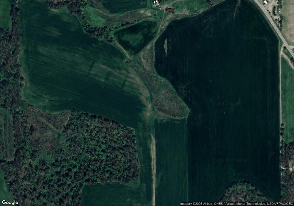
Map
Nearby Homes
- 526 E Campbell St
- 518 Snyder Dr
- 333 E Campbell St
- 316 E Campbell St
- 524 N Union St
- 500 Stone Meadow Cir
- 2818 Township Road 2812
- 6620 Township Road 451
- 723 Pearl Dr
- 513 N Mount Vernon Ave
- 1406 Pearl Dr
- 6913 County Road 22
- 3183 County Road 3175
- 14602 Township Road 469
- 14355 Township Road 467
- 7129 Township Road 466
- 3317 Township Road 539
- 13636 Township Road 471
- 0 County Road 917
- 121 E Marion St
- 16159 Ohio 39
- 16115 Ohio 39
- 16163 Ohio 39
- 16163 State Route 39
- 16213 State Route 39
- 16213 State Route 39 Unit 60
- 16274 Ohio 39
- 16274 State Route 39
- 16115 State Route 39
- 16135 State Route 39
- 16286 State Route 39 Unit 60
- 16119 Ohio 39
- 16300 State Route 39
- 16344 State Route 39
- 16085 State Route 39
- 16201 Township Road 463
- 0 Township Road 456
- Lot #9 Township Road 456
- 0 Township Road 463
- 16104 State Route 39