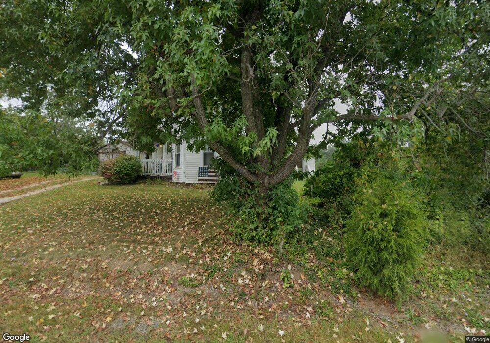
16151 State Route 555 Cutler, OH 45724
Estimated Value: $136,360 - $224,000
3
Beds
2
Baths
1,988
Sq Ft
$98/Sq Ft
Est. Value
About This Home
This home is located at 16151 State Route 555, Cutler, OH 45724 and is currently estimated at $193,840, approximately $97 per square foot. 16151 State Route 555 is a home with nearby schools including Warren High School.
Ownership History
Date
Name
Owned For
Owner Type
Purchase Details
Closed on
Nov 6, 2020
Bought by
Fouss Daniel A Trustee
Current Estimated Value
Purchase Details
Closed on
Nov 23, 2010
Sold by
King Taiana A and King William J
Bought by
King William J and King Taina A
Home Financials for this Owner
Home Financials are based on the most recent Mortgage that was taken out on this home.
Original Mortgage
$8,000
Interest Rate
4.19%
Mortgage Type
Stand Alone Refi Refinance Of Original Loan
Purchase Details
Closed on
May 9, 2001
Bought by
Boggs Taina Ann
Create a Home Valuation Report for This Property
The Home Valuation Report is an in-depth analysis detailing your home's value as well as a comparison with similar homes in the area
Home Values in the Area
Average Home Value in this Area
Purchase History
| Date | Buyer | Sale Price | Title Company |
|---|---|---|---|
| Fouss Daniel A Trustee | -- | -- | |
| King William J | -- | Attorney | |
| Boggs Taina Ann | $39,500 | -- |
Source: Public Records
Mortgage History
| Date | Status | Borrower | Loan Amount |
|---|---|---|---|
| Previous Owner | King William J | $8,000 |
Source: Public Records
Tax History Compared to Growth
Tax History
| Year | Tax Paid | Tax Assessment Tax Assessment Total Assessment is a certain percentage of the fair market value that is determined by local assessors to be the total taxable value of land and additions on the property. | Land | Improvement |
|---|---|---|---|---|
| 2024 | $1,374 | $33,650 | $1,130 | $32,520 |
| 2023 | $1,374 | $33,650 | $1,130 | $32,520 |
| 2022 | $1,369 | $33,650 | $1,130 | $32,520 |
| 2021 | $994 | $23,100 | $3,630 | $19,470 |
| 2020 | $992 | $23,100 | $3,630 | $19,470 |
| 2019 | $980 | $23,100 | $3,630 | $19,470 |
| 2018 | $894 | $20,470 | $3,160 | $17,310 |
| 2017 | $889 | $20,470 | $3,160 | $17,310 |
| 2016 | $1,093 | $20,470 | $3,160 | $17,310 |
| 2015 | $610 | $15,940 | $3,190 | $12,750 |
| 2014 | $860 | $15,940 | $3,190 | $12,750 |
| 2013 | $593 | $15,940 | $3,190 | $12,750 |
Source: Public Records
Map
Nearby Homes
- 2187 State Route 550
- 1022 Tullis Rd
- 22775 Mayle Ridge Rd
- Lot 2 Shinn Rd
- Lot 2 Shinn Rd
- 4000 C206
- Lot 1 Shinn Rd
- 15901 Lathrop Rd
- 7600 Marion St
- 0 Ohio 555 Unit 5146049
- State Route 550
- 5174 Lightner Ridge Rd
- 2109 Bell Rd
- 2500 Robert Kelly Rd
- 2207 Veto Rd
- 0 Ohio 550
- 4660 E J Ross Ln
- 0 Kosky Dr
- 3291 Kosky Dr
- 10270 Ohio 550
- 16173 State Route 555
- 16156 State Rt 555
- 1809 State Rt 550
- 88 Roberts Rd
- 47 Hocking St
- 16245 State Rt 555
- 1875 State Route 550
- 1767 State Route 550
- 1850 State Route 550
- 1804 State Route 550 St
- 1780 State Route 550
- 1917 Ohio 550
- 0 Yeager Ln Unit 3954703
- 0 Yeager Ln Unit M223032
- 0 Yeager Ln Unit M229334
- 0 Yeager Ln Unit M241140
- 0 Yeager Ln Unit 3813319
- 0 Yeager Ln Unit 3888087
- 1917 Main St
- 1770 State Route 550