1616 Carnoustie Rd Davidsonville, MD 21035
Davidsonville NeighborhoodEstimated Value: $1,615,998 - $1,930,000
--
Bed
1
Bath
5,255
Sq Ft
$334/Sq Ft
Est. Value
About This Home
This home is located at 1616 Carnoustie Rd, Davidsonville, MD 21035 and is currently estimated at $1,757,750, approximately $334 per square foot. 1616 Carnoustie Rd is a home with nearby schools including Davidsonville Elementary School, Central Middle School, and South River High School.
Ownership History
Date
Name
Owned For
Owner Type
Purchase Details
Closed on
Jan 21, 2021
Sold by
Caruso Builder Southern Hills Llc
Bought by
Crosby Daniel T and Crosby April R
Current Estimated Value
Home Financials for this Owner
Home Financials are based on the most recent Mortgage that was taken out on this home.
Original Mortgage
$1,130,495
Outstanding Balance
$1,007,009
Interest Rate
2.6%
Mortgage Type
New Conventional
Estimated Equity
$750,741
Purchase Details
Closed on
Aug 4, 2020
Sold by
Southstar Limited Partnership
Bought by
Caruso Builder Southern Hills Llc
Create a Home Valuation Report for This Property
The Home Valuation Report is an in-depth analysis detailing your home's value as well as a comparison with similar homes in the area
Home Values in the Area
Average Home Value in this Area
Purchase History
| Date | Buyer | Sale Price | Title Company |
|---|---|---|---|
| Crosby Daniel T | $1,413,119 | Capitol Title Group | |
| Caruso Builder Southern Hills Llc | $300,000 | Capitol Title Group |
Source: Public Records
Mortgage History
| Date | Status | Borrower | Loan Amount |
|---|---|---|---|
| Open | Crosby Daniel T | $1,130,495 |
Source: Public Records
Tax History Compared to Growth
Tax History
| Year | Tax Paid | Tax Assessment Tax Assessment Total Assessment is a certain percentage of the fair market value that is determined by local assessors to be the total taxable value of land and additions on the property. | Land | Improvement |
|---|---|---|---|---|
| 2025 | $13,502 | $1,303,400 | -- | -- |
| 2024 | $13,502 | $1,227,500 | $0 | $0 |
| 2023 | $13,123 | $1,151,600 | $239,400 | $912,200 |
| 2022 | $12,297 | $1,127,000 | $0 | $0 |
| 2021 | $1,824 | $1,102,400 | $0 | $0 |
| 2020 | $1,824 | $174,400 | $174,400 | $0 |
| 2019 | $1,363 | $154,400 | $0 | $0 |
| 2018 | $1,363 | $134,400 | $0 | $0 |
Source: Public Records
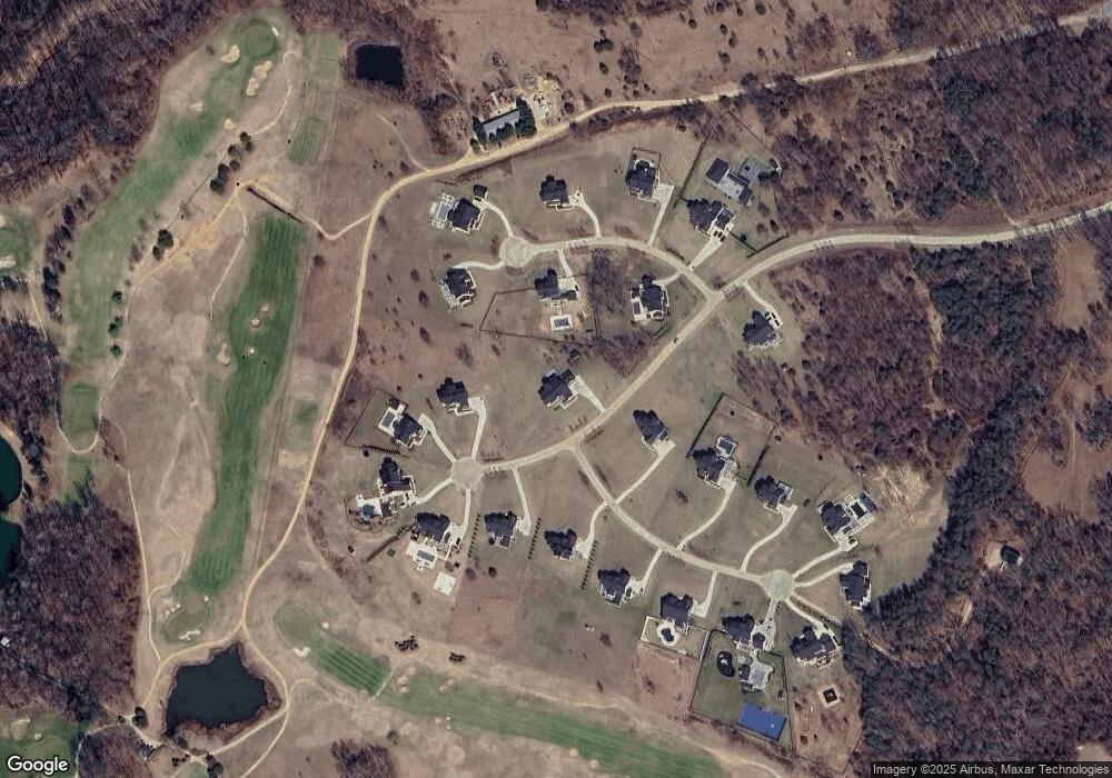
Map
Nearby Homes
- 3692 Nile Rd
- 1575 Alcova Dr
- 619 Glen Lake Dr
- 1544 Manor View Rd
- 1502 Manor View Rd
- 1509 Manor View Rd
- 1527 Patuxent Manor Rd
- 1203 Double Gate Rd
- 1080 Mount Airy Rd
- 17439 Mill Branch Place
- 965 Mount Airy Rd
- 17308 Queen Anne Bridge Rd
- 1500, 1501, 1504 Cogar Rd
- 1008 W Central Ave
- 18106 B Central Ave
- 3409 Saint Robin Ln
- 16838 Saint Ridgely Blvd
- 3413 Saint Robin Ln
- 2901 George Howard Way
- 3402 Saint Edward Ave
- 3607 Merion Ct
- 3703 Birkdale Ct
- 3605 Merion Ct
- 1620 Carnoustie Rd
- 3702 Birkdale Ct
- 1619 Carnoustie Rd
- 3602 Merion Ct
- 3606 Merion Ct
- 3705 Birkdale Ct
- 3608 Merion Ct
- 1622 Carnoustie Rd
- 1611 Carnoustie Rd
- 3704 Birkdale Ct
- 1621 Carnoustie Rd
- 3604 Merion Ct
- 3707 Birkdale Ct
- 3706 Birkdale Ct
- 3709 Birkdale Ct
- 3708 Birkdale Ct
- 3711 Birkdale Ct