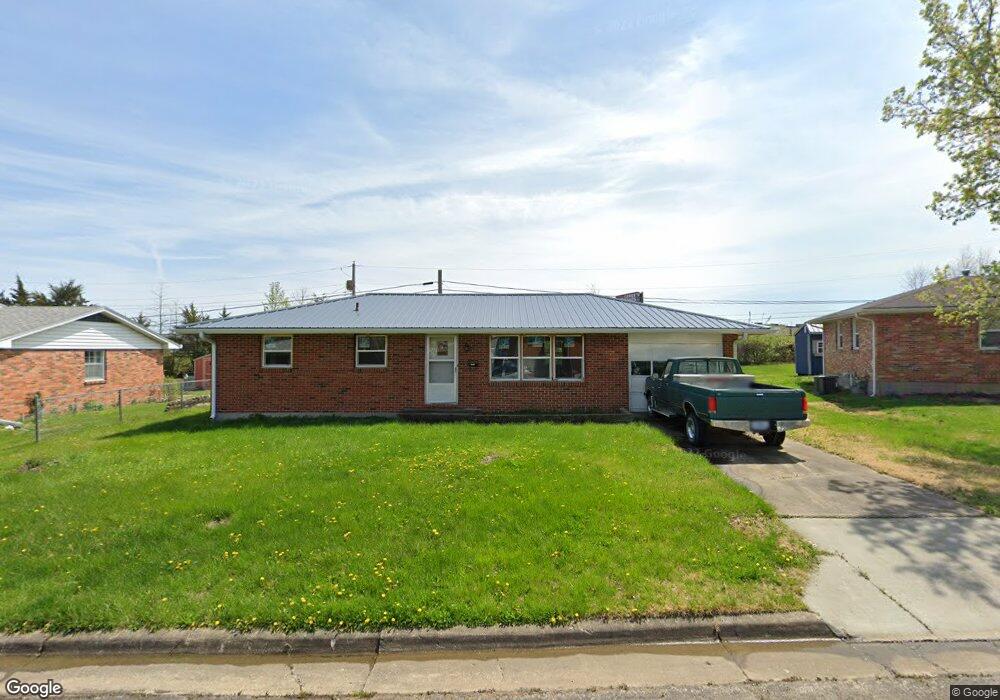
1616 Kathy Dr Columbia, MO 65202
Parkade NeighborhoodEstimated Value: $189,000 - $240,000
2
Beds
2
Baths
1,000
Sq Ft
$212/Sq Ft
Est. Value
About This Home
This home is located at 1616 Kathy Dr, Columbia, MO 65202 and is currently estimated at $212,215, approximately $212 per square foot. 1616 Kathy Dr is a home located in Boone County with nearby schools including Parkade Elementary School, West Middle School, and David H. Hickman High School.
Ownership History
Date
Name
Owned For
Owner Type
Purchase Details
Closed on
Aug 15, 2025
Sold by
Felten Chris
Bought by
Wenman Jeffrey and Wenman Takeo Dilores
Current Estimated Value
Home Financials for this Owner
Home Financials are based on the most recent Mortgage that was taken out on this home.
Original Mortgage
$188,000
Outstanding Balance
$157,099
Interest Rate
6.67%
Mortgage Type
Construction
Estimated Equity
$55,116
Purchase Details
Closed on
Mar 3, 2016
Sold by
Burge Robert P and Cower Rebecca
Bought by
Felten Chris
Purchase Details
Closed on
Jan 27, 2016
Sold by
Schleser Steve and Schleser Denice
Bought by
Burge Robert P
Purchase Details
Closed on
Jan 22, 2016
Sold by
Sowr Rebecca
Bought by
Burge Robert P
Purchase Details
Closed on
Jan 20, 2016
Sold by
Schleser Andrea
Bought by
Burge Robert P
Create a Home Valuation Report for This Property
The Home Valuation Report is an in-depth analysis detailing your home's value as well as a comparison with similar homes in the area
Home Values in the Area
Average Home Value in this Area
Purchase History
| Date | Buyer | Sale Price | Title Company |
|---|---|---|---|
| Wenman Jeffrey | -- | None Listed On Document | |
| Wenman Jeffrey | -- | None Listed On Document | |
| Felten Chris | -- | None Available | |
| Burge Robert P | -- | None Available | |
| Burge Robert P | -- | None Available | |
| Burge Robert P | -- | None Available |
Source: Public Records
Mortgage History
| Date | Status | Borrower | Loan Amount |
|---|---|---|---|
| Open | Wenman Jeffrey | $188,000 | |
| Closed | Wenman Jeffrey | $188,000 |
Source: Public Records
Tax History Compared to Growth
Tax History
| Year | Tax Paid | Tax Assessment Tax Assessment Total Assessment is a certain percentage of the fair market value that is determined by local assessors to be the total taxable value of land and additions on the property. | Land | Improvement |
|---|---|---|---|---|
| 2025 | $1,357 | $23,047 | $3,116 | $19,931 |
| 2024 | $1,357 | $20,121 | $3,116 | $17,005 |
| 2023 | $1,346 | $20,121 | $3,116 | $17,005 |
| 2022 | $1,246 | $18,639 | $3,116 | $15,523 |
| 2021 | $1,248 | $18,639 | $3,116 | $15,523 |
| 2020 | $1,230 | $17,257 | $3,116 | $14,141 |
| 2019 | $1,230 | $17,257 | $3,116 | $14,141 |
| 2018 | $1,147 | $0 | $0 | $0 |
| 2017 | $1,163 | $15,979 | $3,116 | $12,863 |
| 2016 | $1,163 | $15,979 | $3,116 | $12,863 |
| 2015 | $1,073 | $15,979 | $3,116 | $12,863 |
| 2014 | $1,079 | $15,979 | $3,116 | $12,863 |
Source: Public Records
Map
Nearby Homes
- 1912 N Creasy Springs Rd Unit A & B
- 1959 Jackson St
- 210 W Texas Ave
- 501 Parkade Blvd
- 2009 Winchester Dr
- 905 Remington Dr
- 200 Sondra Ave
- 701 703 & 707 Mikel Rd
- 1106 Jefferson St
- 506 Jackson St
- 709 Portsmouth Dr
- 2512 Emery Dr
- 105 W Sexton Rd
- 100 W Thurman St
- 403 W Worley St
- 407 Hardin St
- 809 King Ave
- 603 Pennant St
- 407 Auburn Ln
- 208 Whitetail Dr