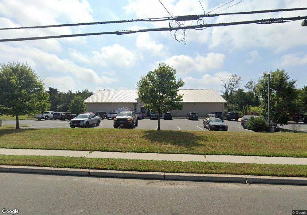
1616 N Route 9 Cape May Court House, NJ 08210
--
Bed
--
Bath
--
Sq Ft
2.68
Acres
About This Home
This home is located at 1616 N Route 9, Cape May Court House, NJ 08210. 1616 N Route 9 is a home located in Cape May County with nearby schools including Middle Township Elementary No. 1, Middle Township Elementary No. 2, and Middle Township Middle School.
Ownership History
Date
Name
Owned For
Owner Type
Purchase Details
Closed on
Jun 27, 2014
Sold by
Grace Oil Company Inc
Bought by
Dg Strategic Ii Llc
Purchase Details
Closed on
Dec 20, 2006
Sold by
Sturdy Savings Bank
Bought by
Grace Oil Co
Home Financials for this Owner
Home Financials are based on the most recent Mortgage that was taken out on this home.
Original Mortgage
$500,000
Interest Rate
6.24%
Mortgage Type
Commercial
Create a Home Valuation Report for This Property
The Home Valuation Report is an in-depth analysis detailing your home's value as well as a comparison with similar homes in the area
Home Values in the Area
Average Home Value in this Area
Purchase History
| Date | Buyer | Sale Price | Title Company |
|---|---|---|---|
| Dg Strategic Ii Llc | $450,000 | None Available | |
| Grace Oil Company Inc | -- | None Available | |
| Grace Oil Co | $660,000 | Title Company Of Jersey |
Source: Public Records
Mortgage History
| Date | Status | Borrower | Loan Amount |
|---|---|---|---|
| Previous Owner | Grace Oil Co | $500,000 |
Source: Public Records
Tax History Compared to Growth
Tax History
| Year | Tax Paid | Tax Assessment Tax Assessment Total Assessment is a certain percentage of the fair market value that is determined by local assessors to be the total taxable value of land and additions on the property. | Land | Improvement |
|---|---|---|---|---|
| 2025 | $20,402 | $967,400 | $486,600 | $480,800 |
| 2024 | $20,402 | $967,400 | $486,600 | $480,800 |
| 2023 | $19,890 | $967,400 | $486,600 | $480,800 |
| 2022 | $19,319 | $967,400 | $486,600 | $480,800 |
| 2021 | $18,855 | $967,400 | $486,600 | $480,800 |
| 2020 | $18,468 | $967,400 | $486,600 | $480,800 |
| 2019 | $17,994 | $967,400 | $486,600 | $480,800 |
| 2018 | $17,713 | $967,400 | $486,600 | $480,800 |
| 2017 | $17,355 | $967,400 | $486,600 | $480,800 |
| 2016 | $16,920 | $967,400 | $486,600 | $480,800 |
| 2015 | $16,794 | $967,400 | $486,600 | $480,800 |
| 2014 | $9,215 | $534,200 | $534,200 | $0 |
Source: Public Records
Map
Nearby Homes
- 18 Avalon Blvd
- 3 Fairway Dr
- 18 Brook Ridge Rd
- 28 Pinewood Ct
- 26 Pine Wood Ct
- 12 Seagrove Ave
- 17 Eagle Way Ct
- 19 Eagle Way Ct
- 30 Brooks Ave
- 201 Saint Andrews Dr Unit 201
- 1845 Route 9 N
- 1877 Route 9 N
- 809 Turnberry Ct Unit 809 TURNBERRY COURT
- 105 Congressional Dr
- 506 W Hampton Ct Unit C1
- 506 W Hampton Ct Unit 21
- 57 Siegtown Rd
- 27 Siegtown Rd Unit 8G
- 23 Siegtown #7c Rd Unit 7C
- 23 Siegtown Rd Unit 7C