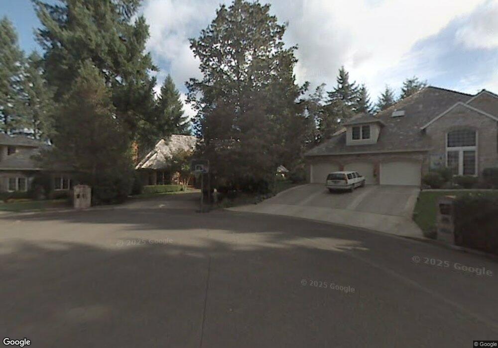
16169 Matthew Ct Lake Oswego, OR 97034
McVey-South Shore NeighborhoodEstimated Value: $1,528,000 - $1,754,000
4
Beds
4
Baths
3,896
Sq Ft
$424/Sq Ft
Est. Value
About This Home
This home is located at 16169 Matthew Ct, Lake Oswego, OR 97034 and is currently estimated at $1,651,252, approximately $423 per square foot. 16169 Matthew Ct is a home located in Clackamas County with nearby schools including Hallinan Elementary School, Lakeridge Middle School, and Lakeridge High School.
Ownership History
Date
Name
Owned For
Owner Type
Purchase Details
Closed on
Jun 12, 2006
Sold by
Mcewan John S and Mcewan Amy Y
Bought by
Cummings Vicki and Cummings Kevin
Current Estimated Value
Home Financials for this Owner
Home Financials are based on the most recent Mortgage that was taken out on this home.
Original Mortgage
$695,200
Outstanding Balance
$407,675
Interest Rate
6.62%
Mortgage Type
Purchase Money Mortgage
Estimated Equity
$1,243,577
Create a Home Valuation Report for This Property
The Home Valuation Report is an in-depth analysis detailing your home's value as well as a comparison with similar homes in the area
Home Values in the Area
Average Home Value in this Area
Purchase History
| Date | Buyer | Sale Price | Title Company |
|---|---|---|---|
| Cummings Vicki | $869,000 | First American |
Source: Public Records
Mortgage History
| Date | Status | Borrower | Loan Amount |
|---|---|---|---|
| Open | Cummings Vicki | $695,200 |
Source: Public Records
Tax History Compared to Growth
Tax History
| Year | Tax Paid | Tax Assessment Tax Assessment Total Assessment is a certain percentage of the fair market value that is determined by local assessors to be the total taxable value of land and additions on the property. | Land | Improvement |
|---|---|---|---|---|
| 2025 | $18,932 | $987,991 | -- | -- |
| 2024 | $18,427 | $959,215 | -- | -- |
| 2023 | $18,427 | $931,277 | $0 | $0 |
| 2022 | $17,355 | $904,153 | $0 | $0 |
| 2021 | $16,028 | $877,819 | $0 | $0 |
| 2020 | $15,625 | $852,252 | $0 | $0 |
| 2019 | $14,116 | $768,875 | $0 | $0 |
| 2018 | $13,467 | $746,481 | $0 | $0 |
| 2017 | $12,922 | $724,739 | $0 | $0 |
| 2016 | $11,795 | $703,630 | $0 | $0 |
| 2015 | $11,128 | $683,136 | $0 | $0 |
| 2014 | $10,801 | $663,239 | $0 | $0 |
Source: Public Records
Map
Nearby Homes
- 800 Terrace Dr
- 1872 Palisades Terrace Dr
- 1015 Southshore Blvd
- 1865 Palisades Lake Ct
- 1093 Tyndall Ct
- 1224 Tyndall Ct
- 1300 Tyndall Ct
- 1405 Cherry Crest Ave
- 1750 N Shore Rd
- 1410 Woodland Terrace
- 1725 Southshore Blvd
- 1520 Cherry Crest Ave
- 15400 Diamond Head Rd
- 1710 S Shore Blvd
- 1527 Lake Front Rd
- 1720 Kilkenny Dr
- 1700 Woodland Terrace
- 149 Iron Mountain Blvd
- 1467 Greentree Cir
- 919 Westpoint Rd
- 16164 Matthew Ct
- 16181 Matthew Ct
- 1969 Palisades Terrace Dr
- 750 Terrace Dr
- 1953 Palisades Terrace Dr
- 702 Terrace Dr
- 16193 Matthew Ct
- 790 Terrace Dr
- 700 Terrace Dr
- 16188 Matthew Ct
- 16205 Matthew Ct
- 800 Terrace Drive-Relist
- 1976 Palisades Terrace Dr
- 1992 Palisades Terrace Dr
- 975 Schukart Ln
- 801 Terrace Dr
- 1944 Palisades Terrace Dr
- 745 Terrace Dr
- 705 Terrace Dr