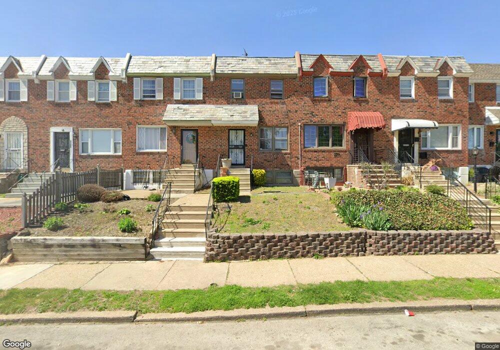
1617 Andrews Ave Philadelphia, PA 19138
West Oak Lane NeighborhoodEstimated Value: $199,000 - $251,000
3
Beds
1
Bath
1,152
Sq Ft
$192/Sq Ft
Est. Value
About This Home
This home is located at 1617 Andrews Ave, Philadelphia, PA 19138 and is currently estimated at $221,372, approximately $192 per square foot. 1617 Andrews Ave is a home located in Philadelphia County with nearby schools including Pennypacker Samuel School, Martin Luther King High School, and West Oak Lane Charter School.
Ownership History
Date
Name
Owned For
Owner Type
Purchase Details
Closed on
Feb 24, 2023
Sold by
Miller Cheryl Lynn
Bought by
Miller Cheryl Lynn
Current Estimated Value
Purchase Details
Closed on
Jan 20, 2004
Sold by
Fitts Louise I
Bought by
Miller Oritha
Home Financials for this Owner
Home Financials are based on the most recent Mortgage that was taken out on this home.
Original Mortgage
$74,650
Interest Rate
5.82%
Mortgage Type
Purchase Money Mortgage
Create a Home Valuation Report for This Property
The Home Valuation Report is an in-depth analysis detailing your home's value as well as a comparison with similar homes in the area
Home Values in the Area
Average Home Value in this Area
Purchase History
| Date | Buyer | Sale Price | Title Company |
|---|---|---|---|
| Miller Cheryl Lynn | -- | -- | |
| Miller Oritha | $77,000 | -- |
Source: Public Records
Mortgage History
| Date | Status | Borrower | Loan Amount |
|---|---|---|---|
| Previous Owner | Miller Oritha | $74,650 |
Source: Public Records
Tax History Compared to Growth
Tax History
| Year | Tax Paid | Tax Assessment Tax Assessment Total Assessment is a certain percentage of the fair market value that is determined by local assessors to be the total taxable value of land and additions on the property. | Land | Improvement |
|---|---|---|---|---|
| 2025 | $2,359 | $214,000 | $42,800 | $171,200 |
| 2024 | $2,359 | $214,000 | $42,800 | $171,200 |
| 2023 | $2,359 | $168,500 | $33,700 | $134,800 |
| 2022 | $1,044 | $123,500 | $33,700 | $89,800 |
| 2021 | $1,674 | $0 | $0 | $0 |
| 2020 | $1,674 | $0 | $0 | $0 |
| 2019 | $1,748 | $0 | $0 | $0 |
| 2018 | $1,572 | $0 | $0 | $0 |
| 2017 | $1,572 | $0 | $0 | $0 |
| 2016 | $1,152 | $0 | $0 | $0 |
| 2015 | $1,022 | $0 | $0 | $0 |
| 2014 | -- | $106,300 | $12,864 | $93,436 |
| 2012 | -- | $16,992 | $1,961 | $15,031 |
Source: Public Records
Map
Nearby Homes
- 7349 E Walnut Ln
- 7277 E Walnut Ln
- 1544 Beverly Rd
- 2070 E Haines St
- 7001 Limekiln Pike
- 1521 E Walnut Ln
- 6635 Hollis St
- 1520 Beverly Rd
- 6824 Rodney St
- 2029 Eastburn Ave
- 1559 E Pastorius St
- 1537 Beverly Rd
- 6313 E Wister St
- 6332 E Wister St
- 1536 E Pastorius St
- 2056 Eastburn Ave
- 6661 Cornelius St
- 6733 N Woodstock St
- 6731 N Woodstock St
- 2061 Independence St
- 1619 Andrews Ave
- 1615 Andrews Ave
- 1621 Andrews Ave
- 1613 Andrews Ave
- 1611 Andrews Ave
- 1623 Andrews Ave
- 1625 Andrews Ave
- 1627 Andrews Ave
- 1607 Andrews Ave
- 1629 Andrews Ave
- 1605 Andrews Ave
- 1626 Middleton St
- 1624 Middleton St
- 1628 Middleton St
- 1630 Middleton St
- 1631 Andrews Ave
- 1620 Middleton St
- 1632 Middleton St
- 1603 Andrews Ave
- 1618 Middleton St