1617 Dupont Commons Dr NW Atlanta, GA 30318
Hills Park NeighborhoodEstimated Value: $692,000 - $807,000
4
Beds
3
Baths
2,815
Sq Ft
$264/Sq Ft
Est. Value
About This Home
This home is located at 1617 Dupont Commons Dr NW, Atlanta, GA 30318 and is currently estimated at $743,796, approximately $264 per square foot. 1617 Dupont Commons Dr NW is a home located in Fulton County with nearby schools including Bolton Academy, Sutton Middle School, and North Atlanta High School.
Ownership History
Date
Name
Owned For
Owner Type
Purchase Details
Closed on
Sep 24, 2021
Sold by
Stevens Kenneth Richard
Bought by
Keiser Amy and Alexander Lloyd
Current Estimated Value
Home Financials for this Owner
Home Financials are based on the most recent Mortgage that was taken out on this home.
Original Mortgage
$504,000
Outstanding Balance
$459,601
Interest Rate
2.8%
Mortgage Type
New Conventional
Estimated Equity
$284,195
Purchase Details
Closed on
May 9, 2014
Sold by
Ferguson Mark R
Bought by
Stevens Kenneth Richard and Knowles Nicole Mae
Home Financials for this Owner
Home Financials are based on the most recent Mortgage that was taken out on this home.
Original Mortgage
$316,000
Interest Rate
4.37%
Mortgage Type
New Conventional
Purchase Details
Closed on
May 25, 2007
Sold by
Brock Built Llc
Bought by
Ferguson Mark R and Barr Eric
Home Financials for this Owner
Home Financials are based on the most recent Mortgage that was taken out on this home.
Original Mortgage
$380,135
Interest Rate
9.95%
Mortgage Type
New Conventional
Create a Home Valuation Report for This Property
The Home Valuation Report is an in-depth analysis detailing your home's value as well as a comparison with similar homes in the area
Home Values in the Area
Average Home Value in this Area
Purchase History
| Date | Buyer | Sale Price | Title Company |
|---|---|---|---|
| Keiser Amy | $630,000 | -- | |
| Stevens Kenneth Richard | $395,000 | -- | |
| Ferguson Mark R | $506,900 | -- |
Source: Public Records
Mortgage History
| Date | Status | Borrower | Loan Amount |
|---|---|---|---|
| Open | Keiser Amy | $504,000 | |
| Previous Owner | Stevens Kenneth Richard | $316,000 | |
| Previous Owner | Ferguson Mark R | $380,135 |
Source: Public Records
Tax History Compared to Growth
Tax History
| Year | Tax Paid | Tax Assessment Tax Assessment Total Assessment is a certain percentage of the fair market value that is determined by local assessors to be the total taxable value of land and additions on the property. | Land | Improvement |
|---|---|---|---|---|
| 2025 | $8,106 | $304,800 | $115,200 | $189,600 |
| 2023 | $11,287 | $272,640 | $94,880 | $177,760 |
| 2022 | $9,350 | $231,040 | $60,680 | $170,360 |
| 2021 | $8,932 | $208,440 | $50,360 | $158,080 |
| 2020 | $8,115 | $198,080 | $39,640 | $158,440 |
| 2019 | $486 | $194,560 | $38,920 | $155,640 |
| 2018 | $7,866 | $190,000 | $38,000 | $152,000 |
| 2017 | $6,520 | $150,960 | $29,240 | $121,720 |
| 2016 | $6,537 | $150,960 | $29,240 | $121,720 |
| 2015 | $7,026 | $150,960 | $29,240 | $121,720 |
| 2014 | $4,624 | $130,880 | $43,680 | $87,200 |
Source: Public Records
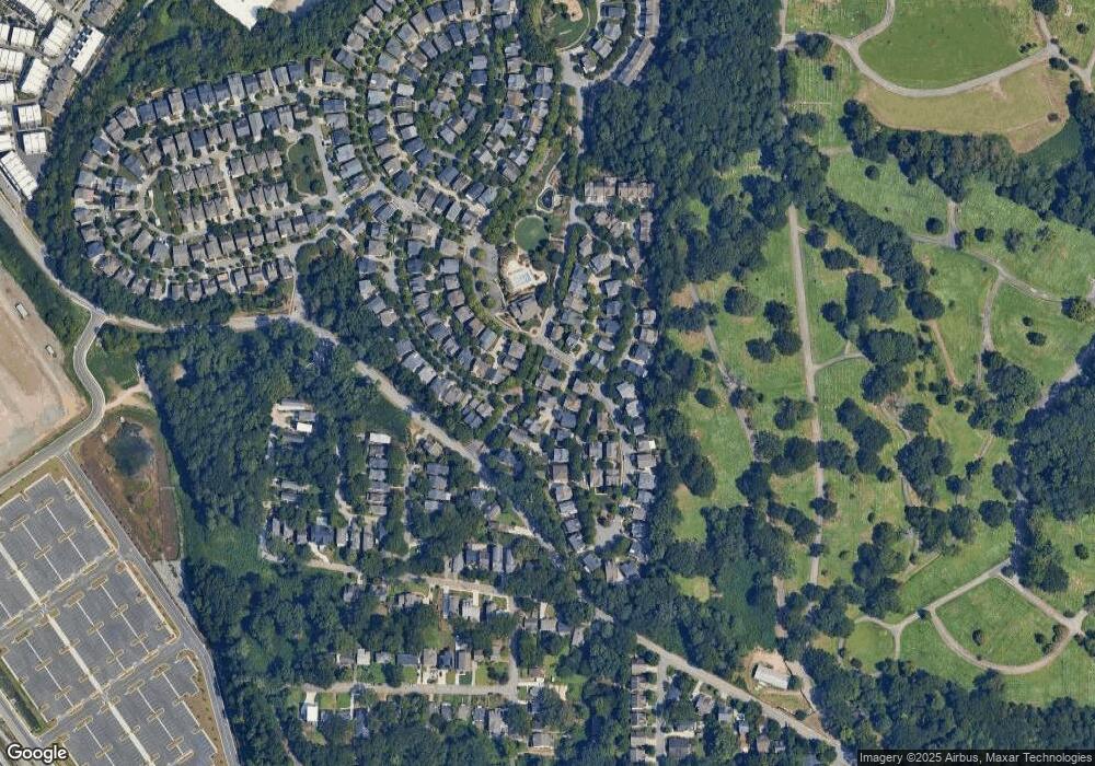
Map
Nearby Homes
- 1647 Dupont Commons Dr NW
- 1621 Duncan Dr NW
- 1660 Gilstrap Ln NW
- 1697 Barfield Run NW
- 1648 Gilstrap Ln NW
- 1900 Francis Ave NW
- 1638 Gilstrap Ln NW
- 1808 Ellen St NW
- 1837 Brooks Dr NW
- 1831 Brooks Dr NW
- 1785 Ellen St NW
- 1914 Coal Place
- 1923 Coal Place
- 1814 Alma St NW
- 2099 Adams Dr NW
- 1815 La Dawn Ln NW
- 1671 Laurel Ave NW
- 1607 Carroll Dr NW
- 1621 Dupont Commons Dr NW
- 1648 Duncan Dr NW
- 1644 Duncan Dr NW
- 1616 Dupont Commons Dr NW
- 1640 Duncan Dr NW
- 1609 Dupont Commons Dr NW
- 1575 Gates Place NW
- 1501 Gilstrap Ln NW
- 1636 Duncan Dr NW
- 0 Duncan Dr NW Unit 7490443
- 0 Duncan Dr NW Unit 7471402
- 0 Duncan Dr NW Unit 7362792
- 0 Duncan Dr NW Unit 7208637
- 0 Duncan Dr NW Unit 3184683
- 0 Duncan Dr NW Unit 8829854
- 0 Duncan Dr NW Unit 8788023
- 0 Duncan Dr NW Unit 8771130
- 0 Duncan Dr NW Unit 8670819
- 0 Duncan Dr NW Unit 8564028
- 0 Duncan Dr NW Unit 8542547