1617 Highway 81 E McDonough, GA 30252
Estimated Value: $584,000 - $1,072,000
3
Beds
1
Bath
1,472
Sq Ft
$539/Sq Ft
Est. Value
About This Home
This home is located at 1617 Highway 81 E, McDonough, GA 30252 and is currently estimated at $793,574, approximately $539 per square foot. 1617 Highway 81 E is a home located in Henry County with nearby schools including Ola Elementary School, Ola Middle School, and Ola High School.
Ownership History
Date
Name
Owned For
Owner Type
Purchase Details
Closed on
Nov 6, 1997
Sold by
Taylor Dorothy M
Bought by
Roach John F and Roach Carole N
Current Estimated Value
Home Financials for this Owner
Home Financials are based on the most recent Mortgage that was taken out on this home.
Original Mortgage
$89,092
Outstanding Balance
$14,138
Interest Rate
7.31%
Mortgage Type
Seller Take Back
Estimated Equity
$779,436
Create a Home Valuation Report for This Property
The Home Valuation Report is an in-depth analysis detailing your home's value as well as a comparison with similar homes in the area
Home Values in the Area
Average Home Value in this Area
Purchase History
| Date | Buyer | Sale Price | Title Company |
|---|---|---|---|
| Roach John F | $309,100 | -- |
Source: Public Records
Mortgage History
| Date | Status | Borrower | Loan Amount |
|---|---|---|---|
| Open | Roach John F | $89,092 |
Source: Public Records
Tax History Compared to Growth
Tax History
| Year | Tax Paid | Tax Assessment Tax Assessment Total Assessment is a certain percentage of the fair market value that is determined by local assessors to be the total taxable value of land and additions on the property. | Land | Improvement |
|---|---|---|---|---|
| 2025 | $3,061 | $326,360 | $118,680 | $207,680 |
| 2024 | $3,061 | $280,400 | $106,800 | $173,600 |
| 2023 | $2,678 | $271,600 | $102,840 | $168,760 |
| 2022 | $2,649 | $231,720 | $94,960 | $136,760 |
| 2021 | $2,431 | $192,040 | $81,480 | $110,560 |
| 2020 | $2,375 | $187,960 | $76,760 | $111,200 |
| 2019 | $2,326 | $178,560 | $72,800 | $105,760 |
| 2018 | $6,303 | $163,280 | $67,240 | $96,040 |
| 2016 | $1,985 | $147,000 | $59,360 | $87,640 |
| 2015 | -- | $144,680 | $68,360 | $76,320 |
| 2014 | $1,921 | $130,400 | $68,360 | $62,040 |
Source: Public Records
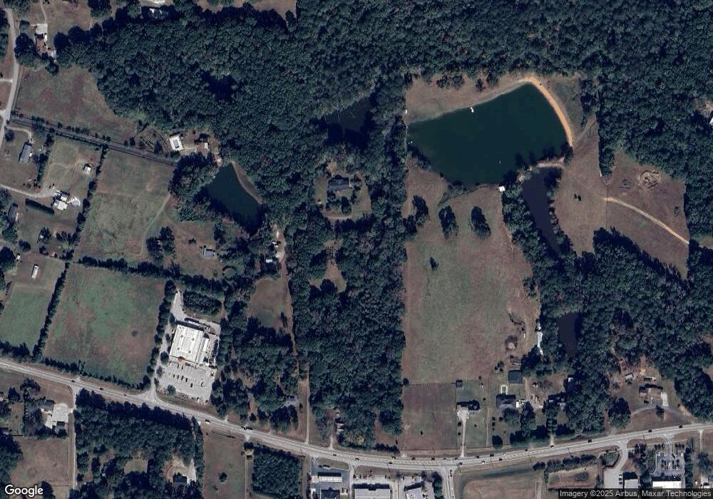
Map
Nearby Homes
- 1891 Highway 81 E
- 1926 King Mill Rd
- 1916 King Mill Rd
- 1936 King Mill Rd
- 125 Chardonnay Oaks Dr
- 160 Wellington Dr
- 325 Rosser Rd
- 136 Crown Forest Dr
- 125 Steeplechase Dr
- 242 Old Jackson Rd
- 284 Sowell Rd
- 5 Wellington Dr
- 150 Sterling Ave
- 275 S Bethany Rd
- 315 S Bethany Rd
- 239 Darwish Dr
- 1324 Cochran Crossing
- 1829 Global Dr
- 312 Amble Side
- 500 Elkwood Ln
- 1595 Highway 81 E
- 102 Rosser Rd
- 1603 Highway 81 E
- 1587 Highway 81 E
- 132 Rosser Rd
- 1665 Highway 81 E
- 1675 Highway 81 E
- 1705 Highway 81 E
- 80 Rosser Rd
- 1666-A Highway 81 E
- 1745 Highway 81 E
- 86 Rosser Rd
- 59 Rosser Rd
- 0 Sowell Rd Unit 7415299
- 30 Rosser Rd
- 85 Sowell Rd
- 91 Rosser Rd
- 80 Sowell Rd
- 1775 Highway 81 E
- 71 Rosser Rd