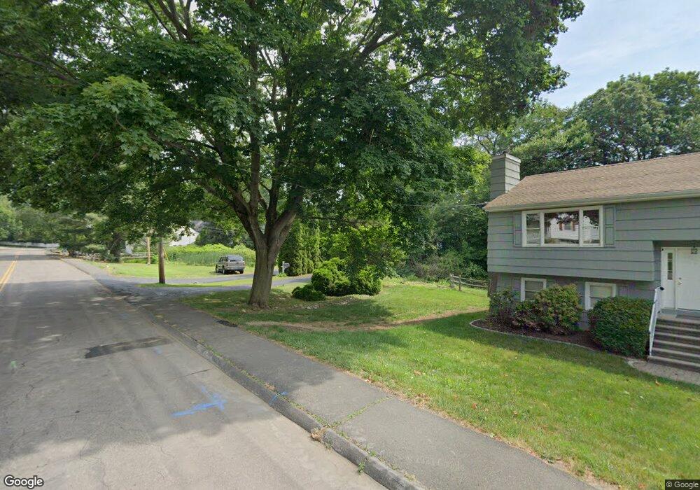
1617 Jennings Rd Fairfield, CT 06824
University NeighborhoodEstimated Value: $644,000 - $880,000
3
Beds
3
Baths
1,376
Sq Ft
$560/Sq Ft
Est. Value
About This Home
This home is located at 1617 Jennings Rd, Fairfield, CT 06824 and is currently estimated at $770,471, approximately $559 per square foot. 1617 Jennings Rd is a home located in Fairfield County with nearby schools including Osborn Hill Elementary School, Fairfield Woods Middle School, and Fairfield Ludlowe High School.
Ownership History
Date
Name
Owned For
Owner Type
Purchase Details
Closed on
Dec 9, 1999
Sold by
Harris Margaret P and Harris Robert W
Bought by
Camarro Daniel
Current Estimated Value
Create a Home Valuation Report for This Property
The Home Valuation Report is an in-depth analysis detailing your home's value as well as a comparison with similar homes in the area
Home Values in the Area
Average Home Value in this Area
Purchase History
| Date | Buyer | Sale Price | Title Company |
|---|---|---|---|
| Camarro Daniel | $175,000 | -- | |
| Camarro Daniel | $175,000 | -- |
Source: Public Records
Mortgage History
| Date | Status | Borrower | Loan Amount |
|---|---|---|---|
| Open | Camarro Daniel | $325,000 | |
| Closed | Camarro Daniel | $210,000 | |
| Closed | Camarro Daniel | $25,000 | |
| Closed | Camarro Daniel | $195,000 |
Source: Public Records
Tax History Compared to Growth
Tax History
| Year | Tax Paid | Tax Assessment Tax Assessment Total Assessment is a certain percentage of the fair market value that is determined by local assessors to be the total taxable value of land and additions on the property. | Land | Improvement |
|---|---|---|---|---|
| 2025 | $8,756 | $308,420 | $233,030 | $75,390 |
| 2024 | $8,605 | $308,420 | $233,030 | $75,390 |
| 2023 | $8,485 | $308,420 | $233,030 | $75,390 |
| 2022 | $8,401 | $308,420 | $233,030 | $75,390 |
| 2021 | $8,321 | $308,420 | $233,030 | $75,390 |
| 2020 | $7,293 | $272,230 | $191,380 | $80,850 |
| 2019 | $7,293 | $272,230 | $191,380 | $80,850 |
| 2018 | $7,176 | $272,230 | $191,380 | $80,850 |
| 2017 | $7,029 | $272,230 | $191,380 | $80,850 |
| 2016 | $6,928 | $272,230 | $191,380 | $80,850 |
| 2015 | $6,693 | $269,990 | $201,460 | $68,530 |
| 2014 | $6,588 | $269,990 | $201,460 | $68,530 |
Source: Public Records
Map
Nearby Homes
- 133 Green Acre Ln
- 168 Wormwood Rd
- 15 Barton Rd
- 478 Crestwood Rd
- 122 Colony St
- 68 Figlar Ave
- 274 High St
- 38 Edge Hill Rd
- 109 Jeniford Rd
- 2180 Kings Hwy Unit 1
- 45 Robin Cir
- 20 Ermine St
- 42 Robin Cir
- 44 Deer Run Rd
- 105 Charter Oak Rd
- 359 Reid St
- 270 Andrassy Ave
- 25 Country Rd
- 450 Davidson St
- 378 Castle Ave
- 1633 Jennings Rd
- 01 Dill Rd
- 1601 Jennings Rd
- 165 Green Acres Ln
- 179 Green Acres Ln
- 151 Green Acres Ln
- 369 Parkwood Rd
- 133 Green Acres Ln
- 1568 Jennings Rd
- 1581 Jennings Rd
- 371 Parkwood Rd
- 1641 Jennings Rd
- 15 Dill Rd
- 199 Green Acres Ln
- 1554 Jennings Rd
- 1651 Jennings Rd
- 1628 Jennings Rd
- 119 Green Acres Ln
- 40 Dill Rd
- 136 Green Acres Ln